
 |
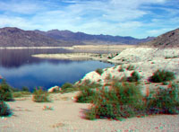 |
Click here to take an image tour of Lake Mead National Recreation Area (both 3D and standard photography). To learn more about Lake Mead National Recreation Area check out the National Park Service website at: http://www.nps.gov/lame/. |
|
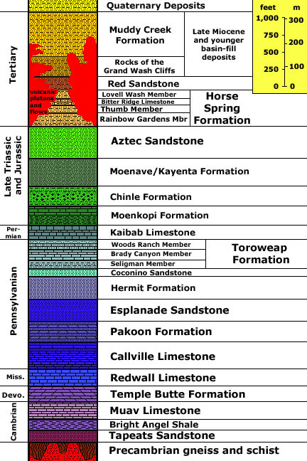
Generalized stratigraphy modified after: Langenheim, R. L. and Schulmeister, M. K., 1987, Virgin River Gorge; Boundary between the Colorado Plateau and the Great Basin in northwestern Arizona: Geological Society of America Centennial Field Guide--Cordilleran Section, p. 43-46, and with Sue Beard (2004, personal communication). Stratigraphic unit information is modified from the USGS GeoLex (Lexicon of Geology): http://ngmdb.usgs.gov/Geolex/geolex_qs.html. Information about the Geologic Time Scale is available at: https://gotbooks.miracosta.edu/gonp/coloradoplateau/timescale.htm. |