Chiricahua National Monument
Chiricahua National Monument is a geologic and ecological wonderland located in the Chiricahua Mountains of southeastern Arizona. The park was established in 1924 to preserve and protect a rugged and scenic mountain landscape that is host to pinnacles, spires, balanced rocks scattered throughout along the ridgelines in the high country. The park is host to the intersection of several ecological provinces, hosting plants typical of Chijuajuan and Sonoran Deserts, and forests of the Southern Rocky Mountains and Sierra Madre (of Mexico).
Construction of roads, trails, and structures was conducted by the Civilian Conservation Corps starting in 1934. Today, the park has expanded to more than 12,025 acres of which 84% is designated as wilderness area. The park was designated an International Dark Sky Park in 2021. A narrow 8 mile road climbs from the grassy valley through forested canyon up to overlooks and trailheads in the summit region of the "sky island" of the Chiricahua Mountains. The park has a visitor center and a limited campground (Bonita Canyon Campground), and hosts about a dozen miles of hiking trails. |
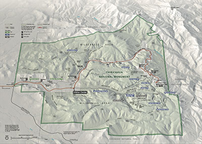 Fig. 1. Park Map. Click on map for a larger view. Fig. 1. Park Map. Click on map for a larger view. |
The Chiracahua Mountains are an erosional remnant of a much more extensive volcanic area. Nearly 2,000 feet of volcanic rock are exposed in the pinnacles and canyons throughout the , mostly of rhyolitic composition, are preserved as ancient exposive eruption that accumulated as weld tuff and ash fall deposit, and some lava flows from massive eruptions roughly 27 million years ago. The mountains are also of tectonic origin associated with extentional block faulting throughout the Basin & Range Physiographic Province. Faulting, fracturing, and uplift of the volcanic bedrock allowed weathering erosion to carve the variety of pinnacles, spires, balanced rocks throughout the park area. For more information see these resources:
Geologic Map of Chiricahua National Monument (NPS Geologic Resources Division): https://irma.nps.gov/DataStore/DownloadFile/620181
Chiricahua National Monument Geologic Resources Inventory Report: https://irma.nps.gov/DataStore/DownloadFile/426475
This website is a photo gallery of some of the easily accessible areas in the park taken in April, 2024). More photos of some of the amazing features along back-country trails will hopefully be added soon.
|
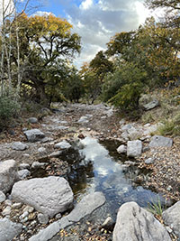
Fig. 2. Bonita Creek
|
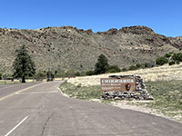
Fig. 3. Park entrance sign |
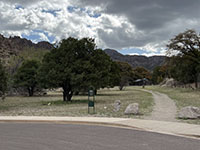
Fig. 2. Faraway Ranch |
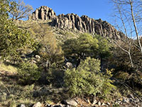
Fig. 3. Cliffs in Bonita Canyon |
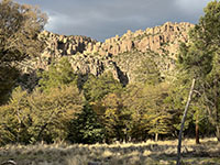
Fig. 4. Bonita Canyon |
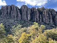
Fig. 5. Cliffs in Bonita Canyon |
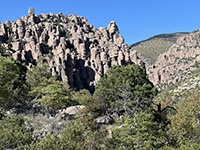
Fig. 6. Bonita Canyon |
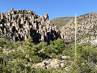
Fig. 7. Bonita Canyon |
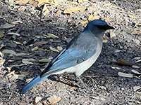
Fig. 8. Mexican jay. |
|

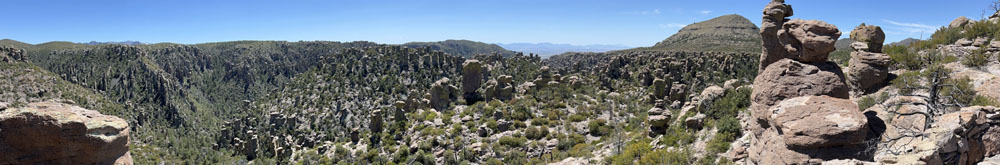
Fig. 9. Panoramic view of the forested valley of Bonita Canyon (east to west) from hillside near Bonita Canyon Campground. Upstream is to the left.
Chiricahua Pinnacles High Country: Massai Point, Echo Canyon, and Sugarloaf Mountain
The park's Visitor Center is located about 3 miles in from the entrance. Past the Visitor Center, the park road (Bonita Canyon Drive) slowly winds up the canyon then climps to the upland ridgecrest of the Chiricahua Mountains. Trails starting at overlooks at the Echo Canyon and Massai Point picnic areas lead through the upland. Loop trails wind through the pinnacles, spires, balanced rocks, and grottos of volcanic tuff throughout of the upland area. The Lower Rhyolite Canyon Trail connects these trails to the Visitor Center. Another trail leads to the top of Sugarloaf Mountain is high point in the park. |
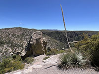
Fig. 10. Massai Point Trail |
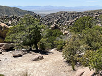
Fig. 11. Massai Point Trail |
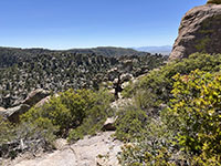
Fig. 12. Massai Point Trail |
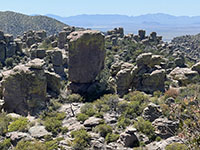
Fig. 13. Massai Point Trail |
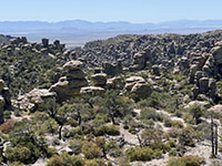
Fig. 14. Rhyolite Canyon |
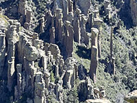
Fig. 15. Pinnacles & spires. |
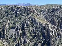
Fig. 16. Pinnacles & spires. |
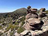
Fig. 17. Sugarloaf Mountain |
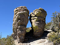
Fig. 18. Echo Canyon Trail |
Fig. 19. Sugarloaf Mountain |
 Fig. 20. Chiricahua Mountains Fig. 20. Chiricahua Mountains |
Fig. 21. Cochise Head |
|
This page is <https://gotbooks.miracosta.edu/gonp/ORPI/>
Last modified 5/5/2024.
|
|
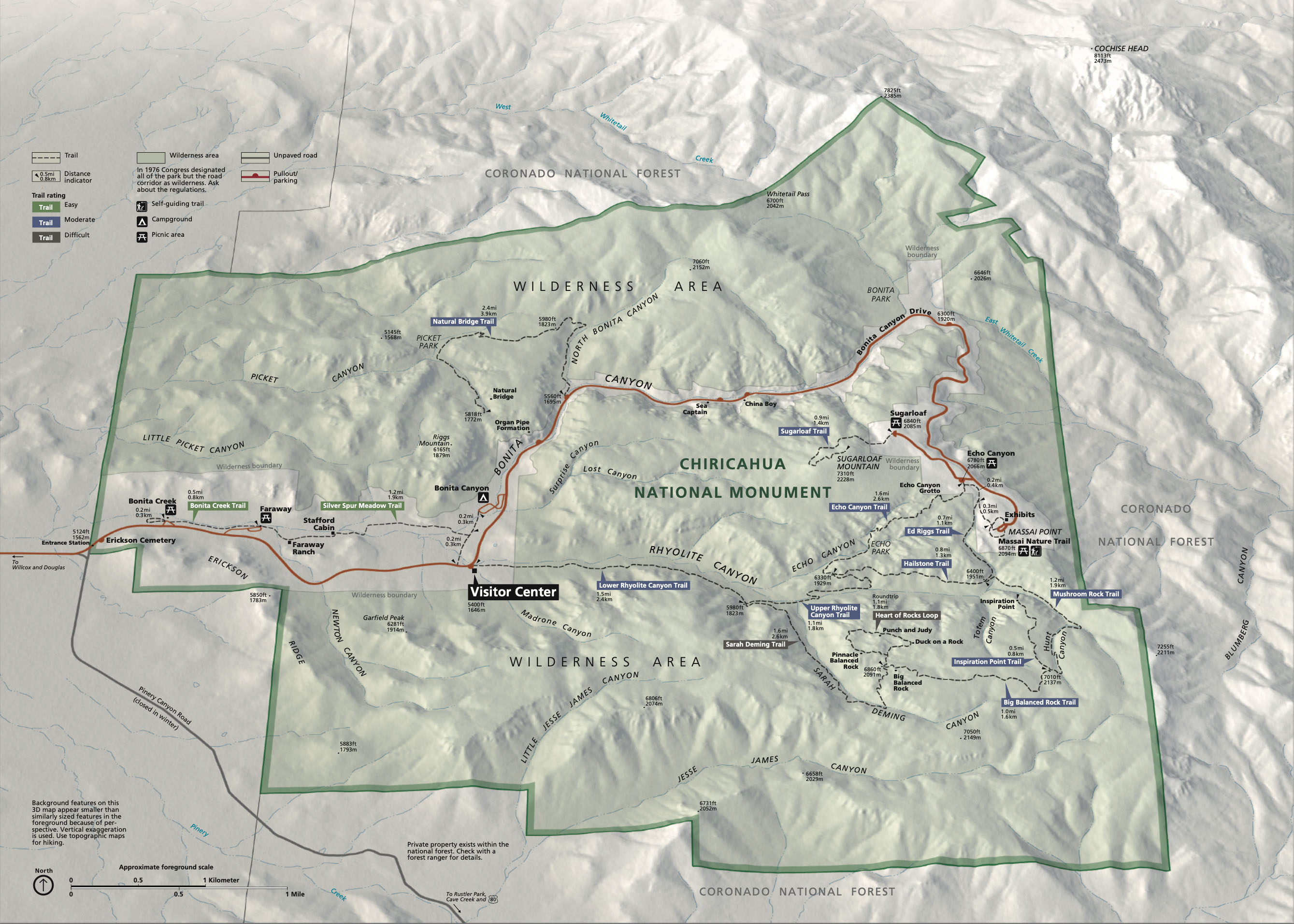 Fig. 1. Park Map. Click on map for a larger view.
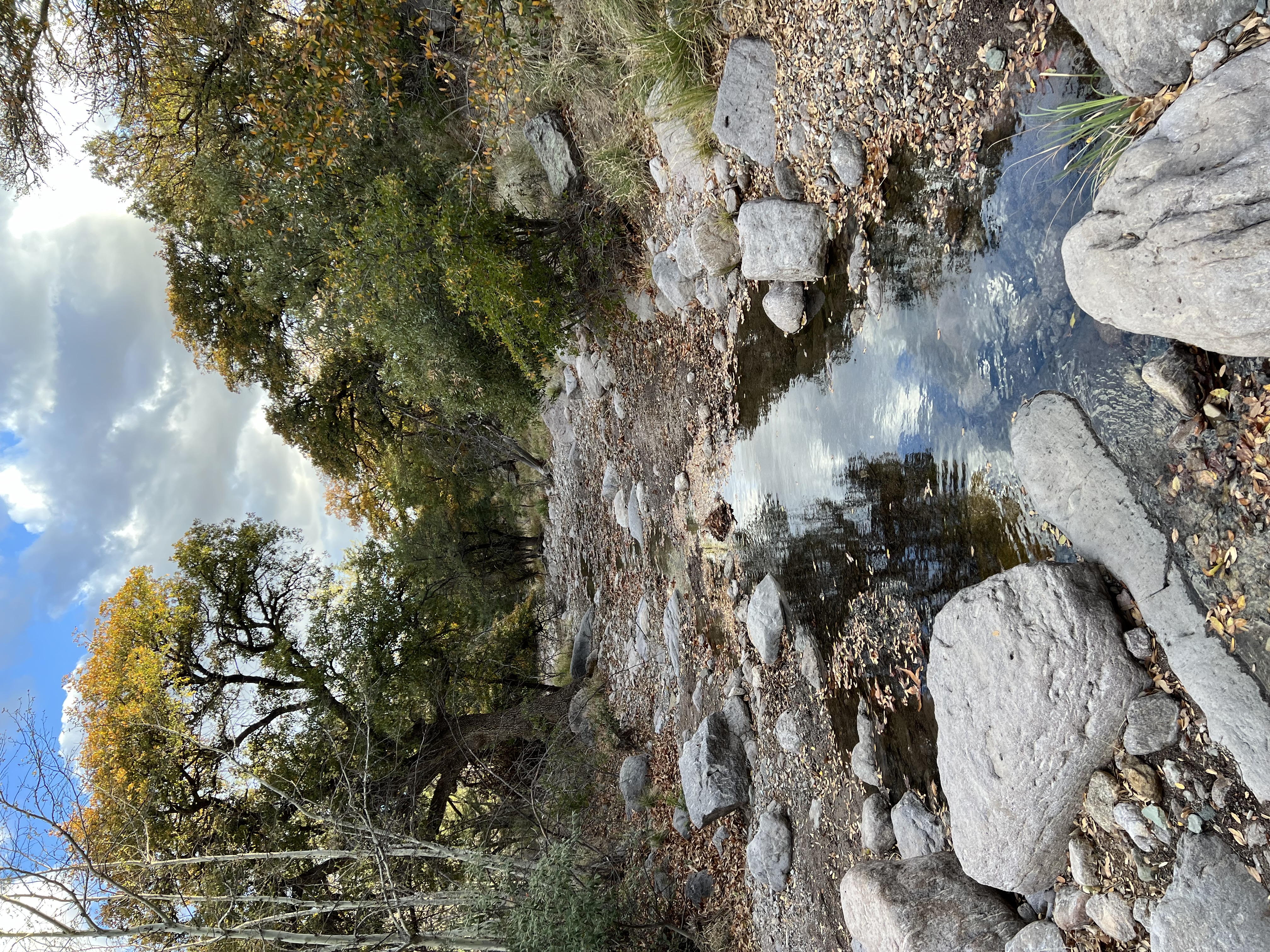
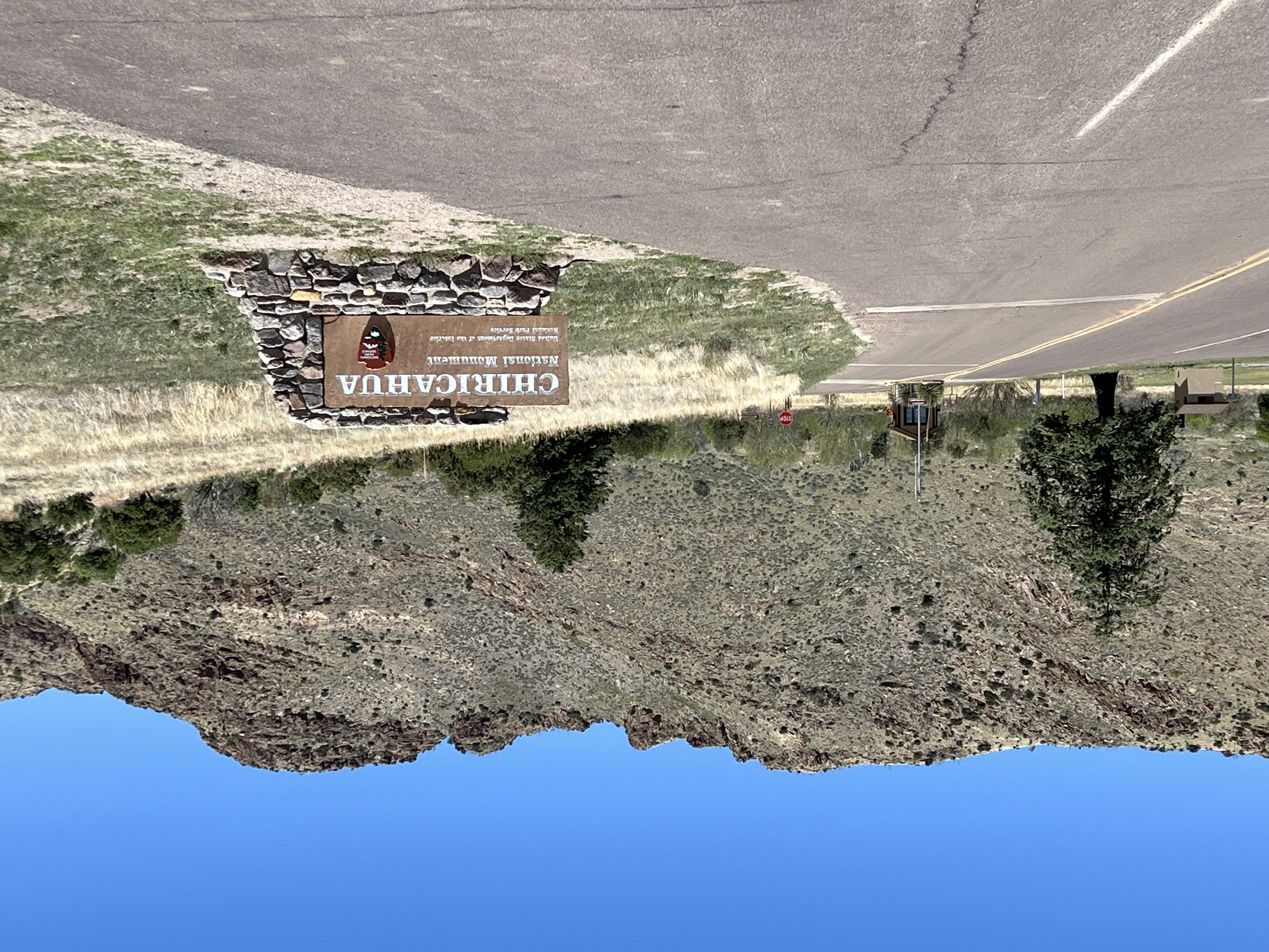

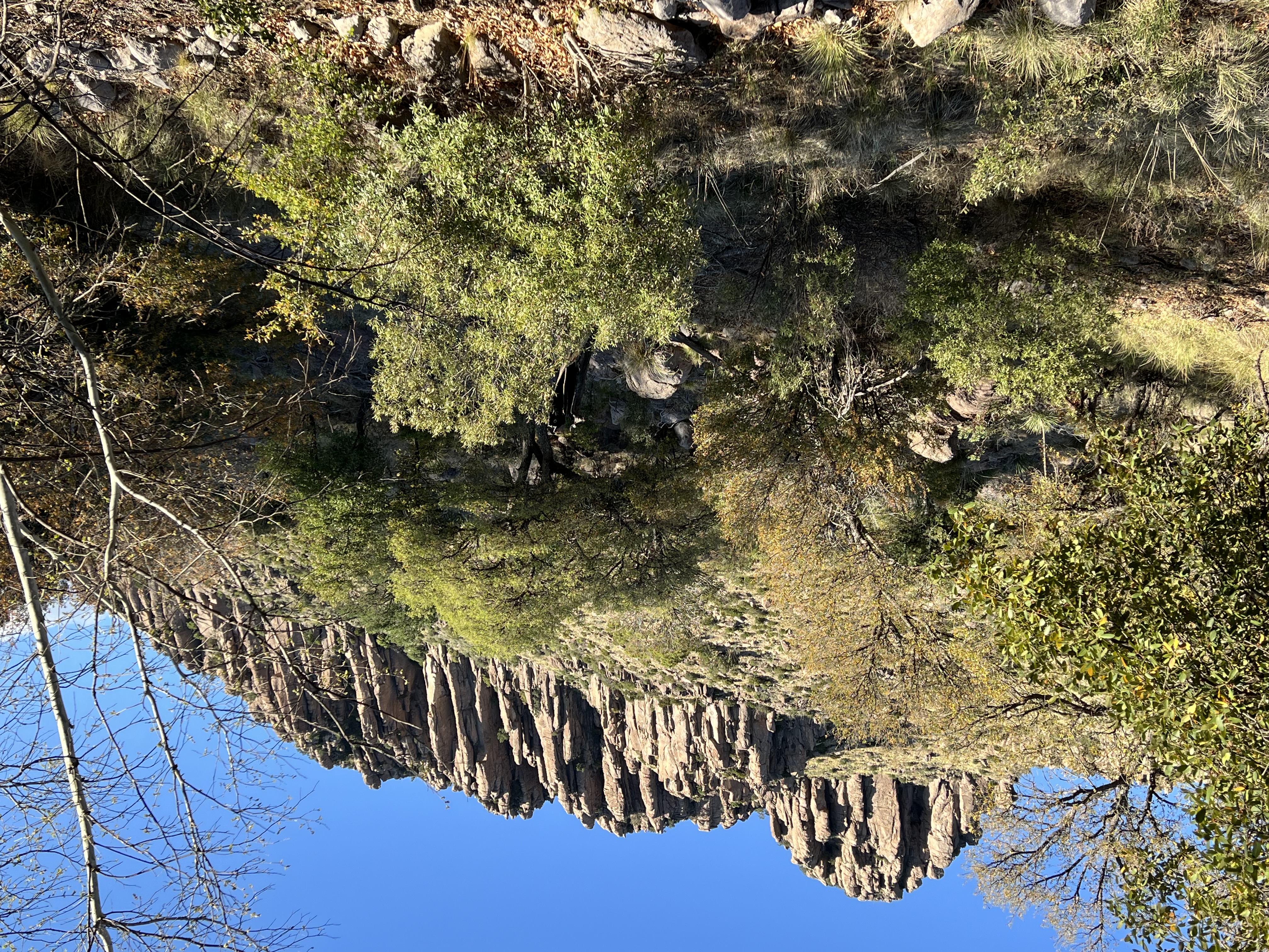
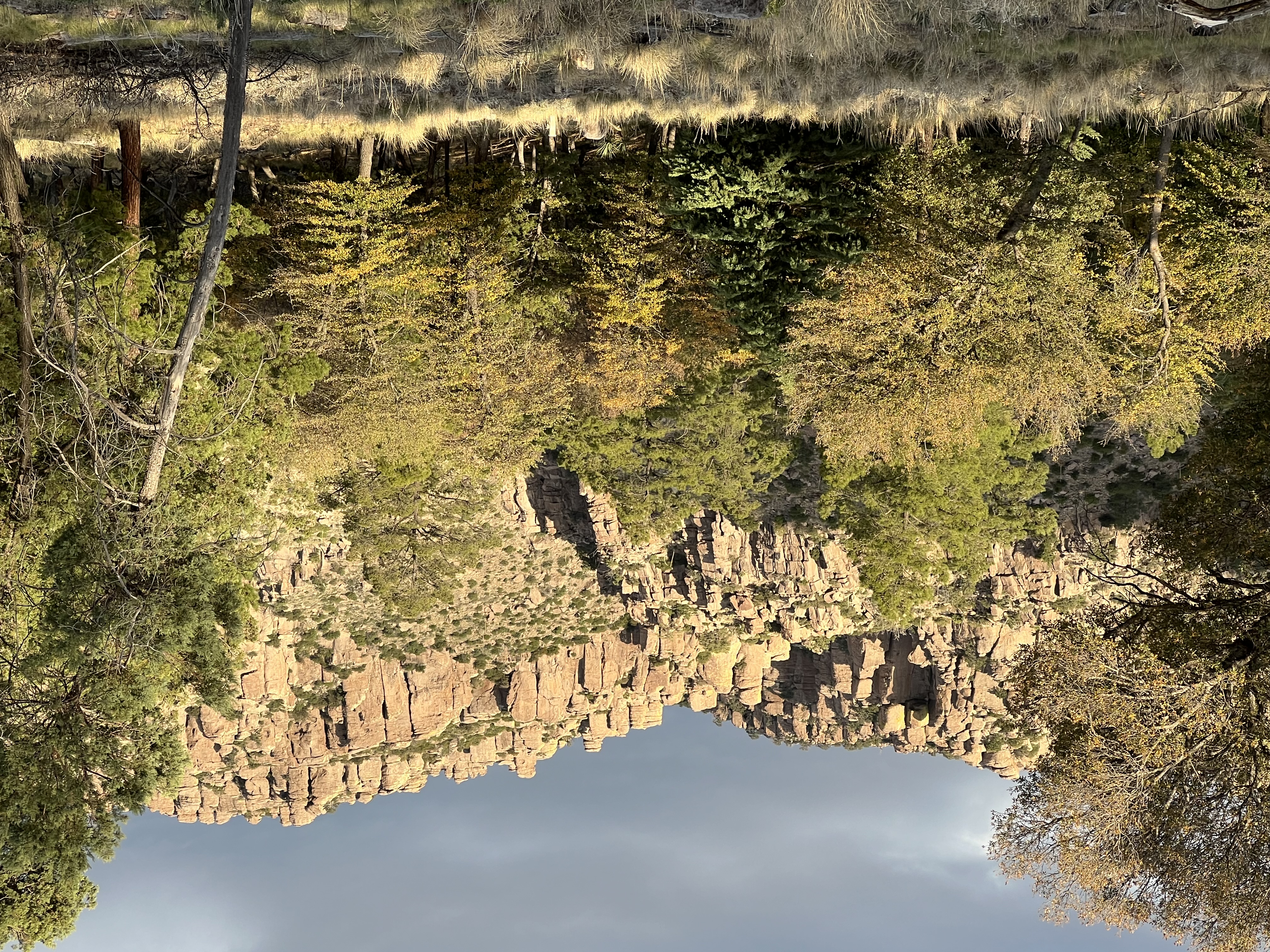
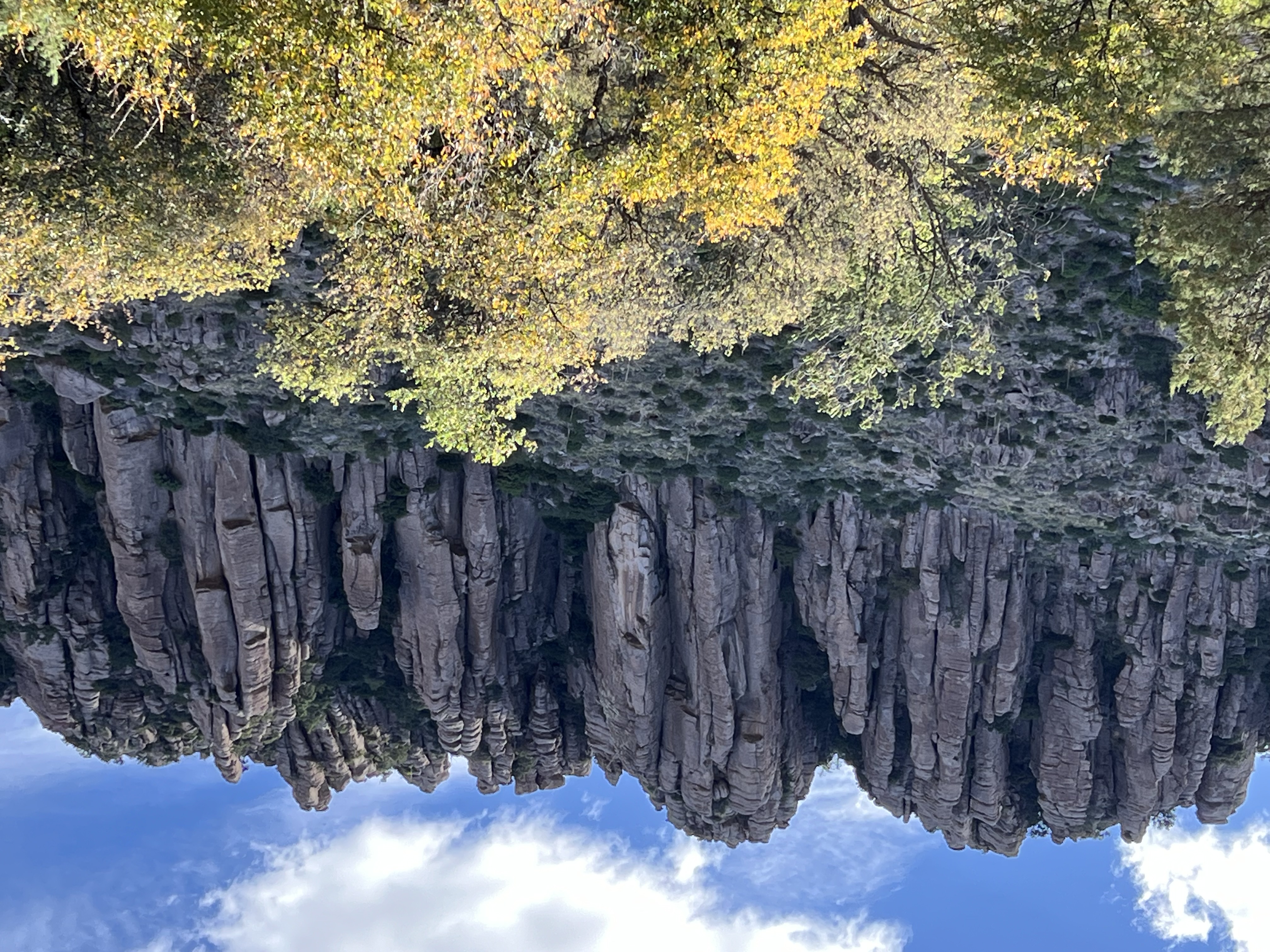
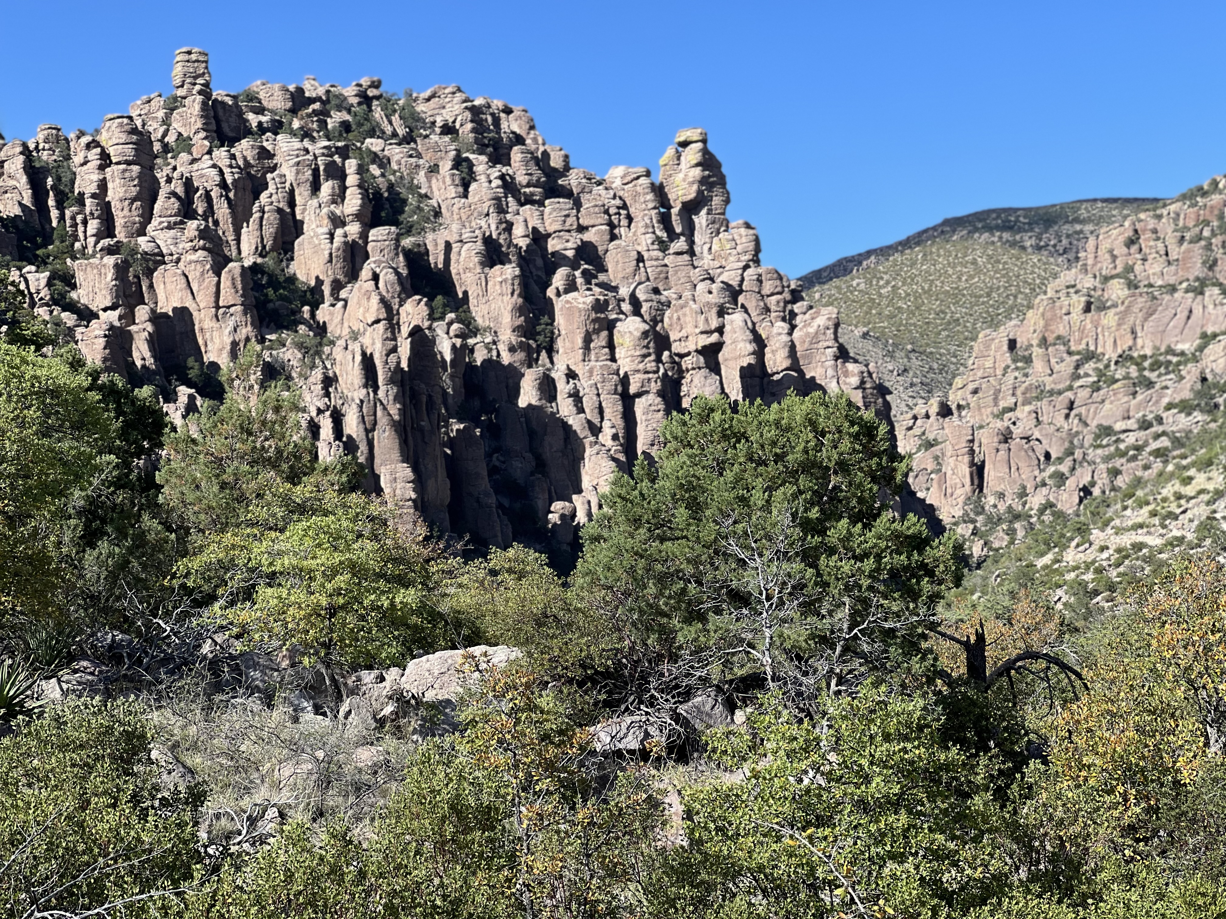
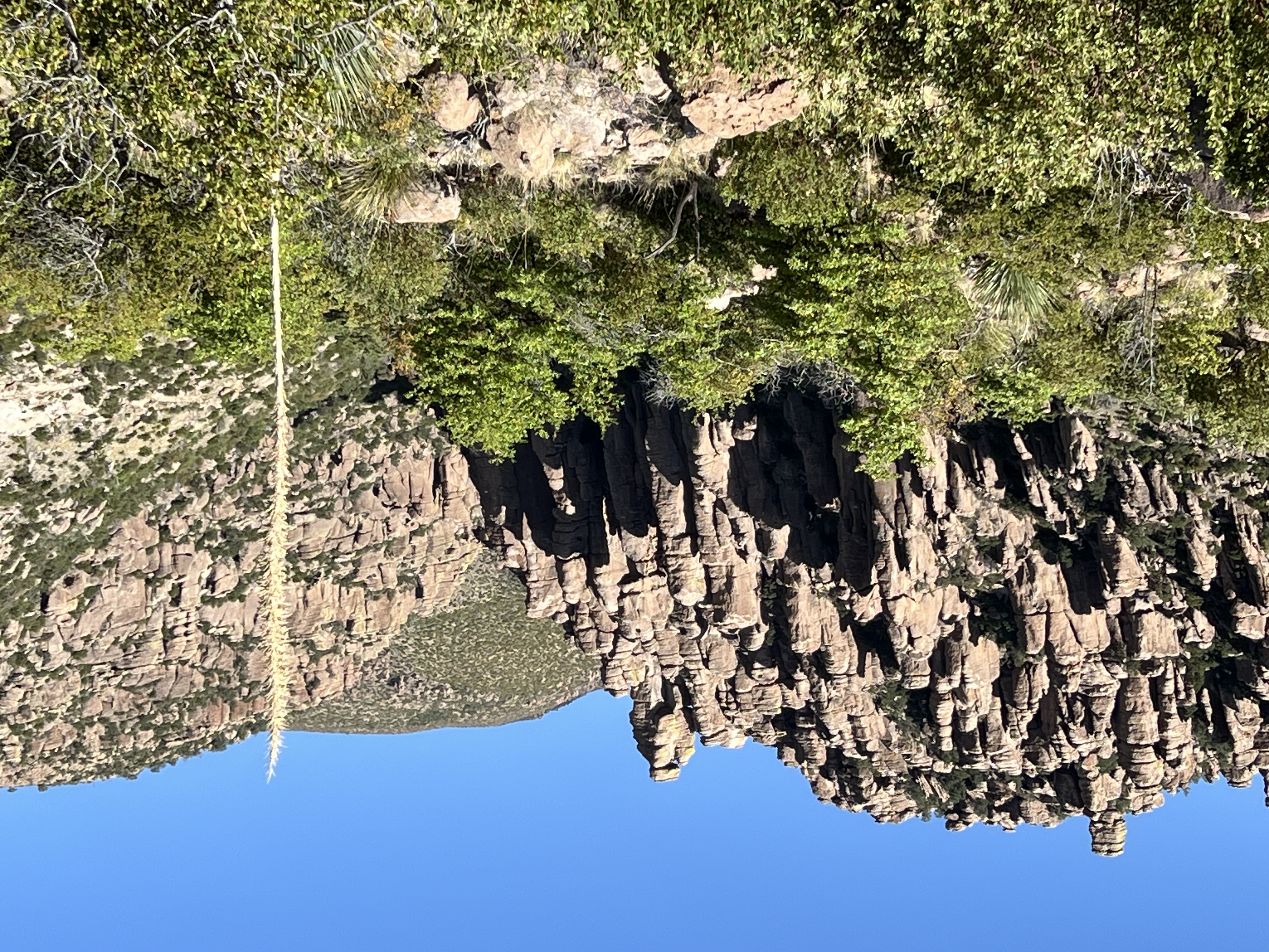
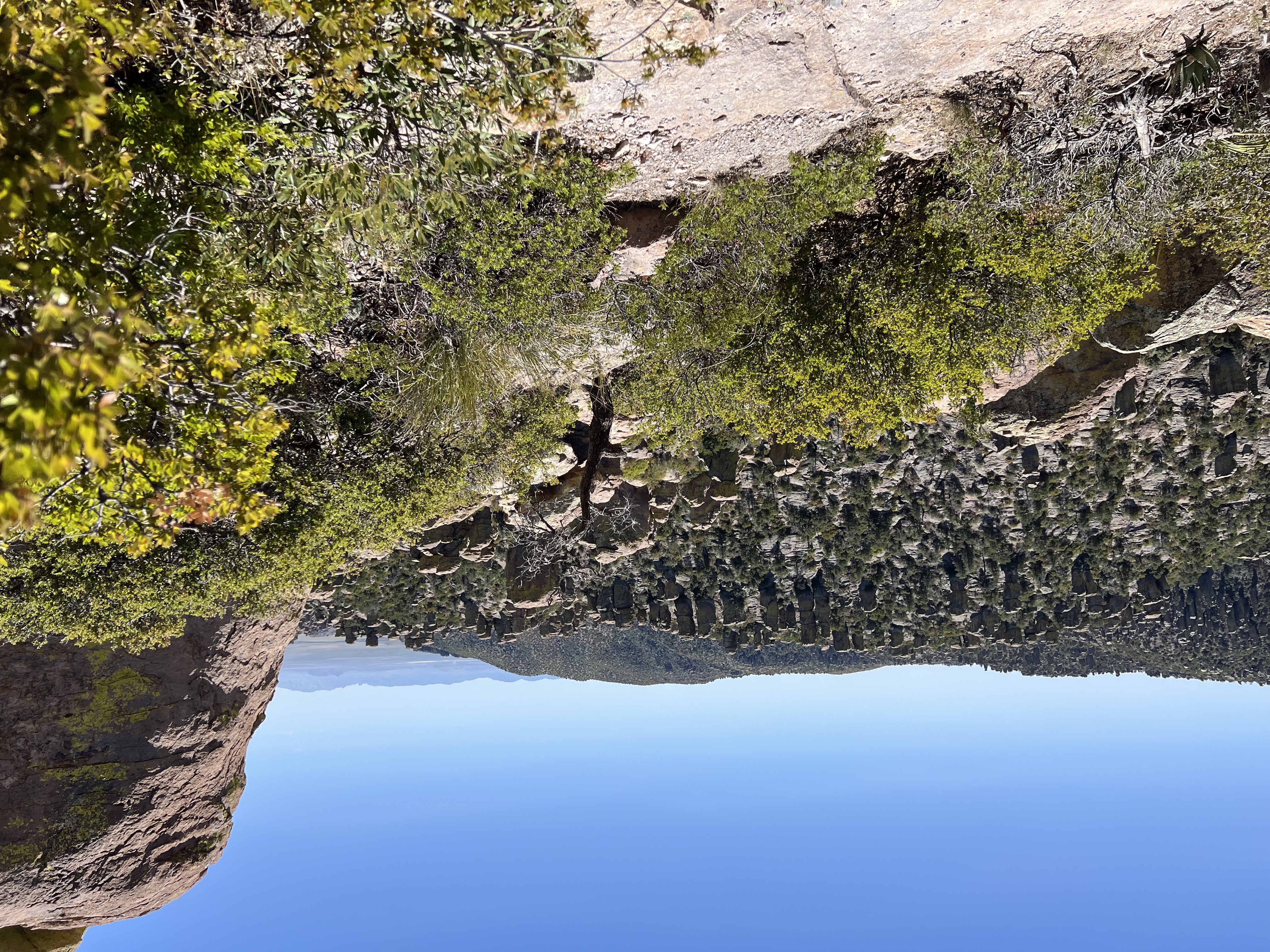
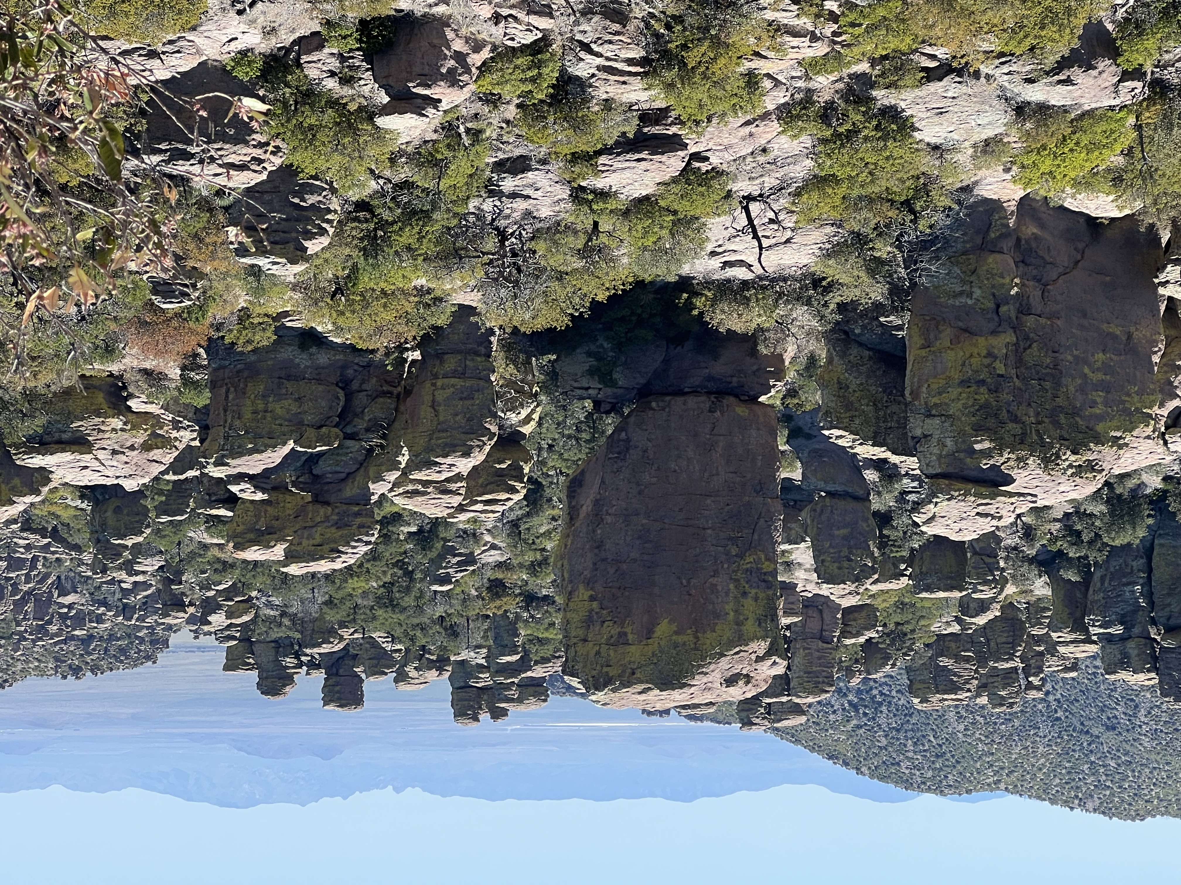
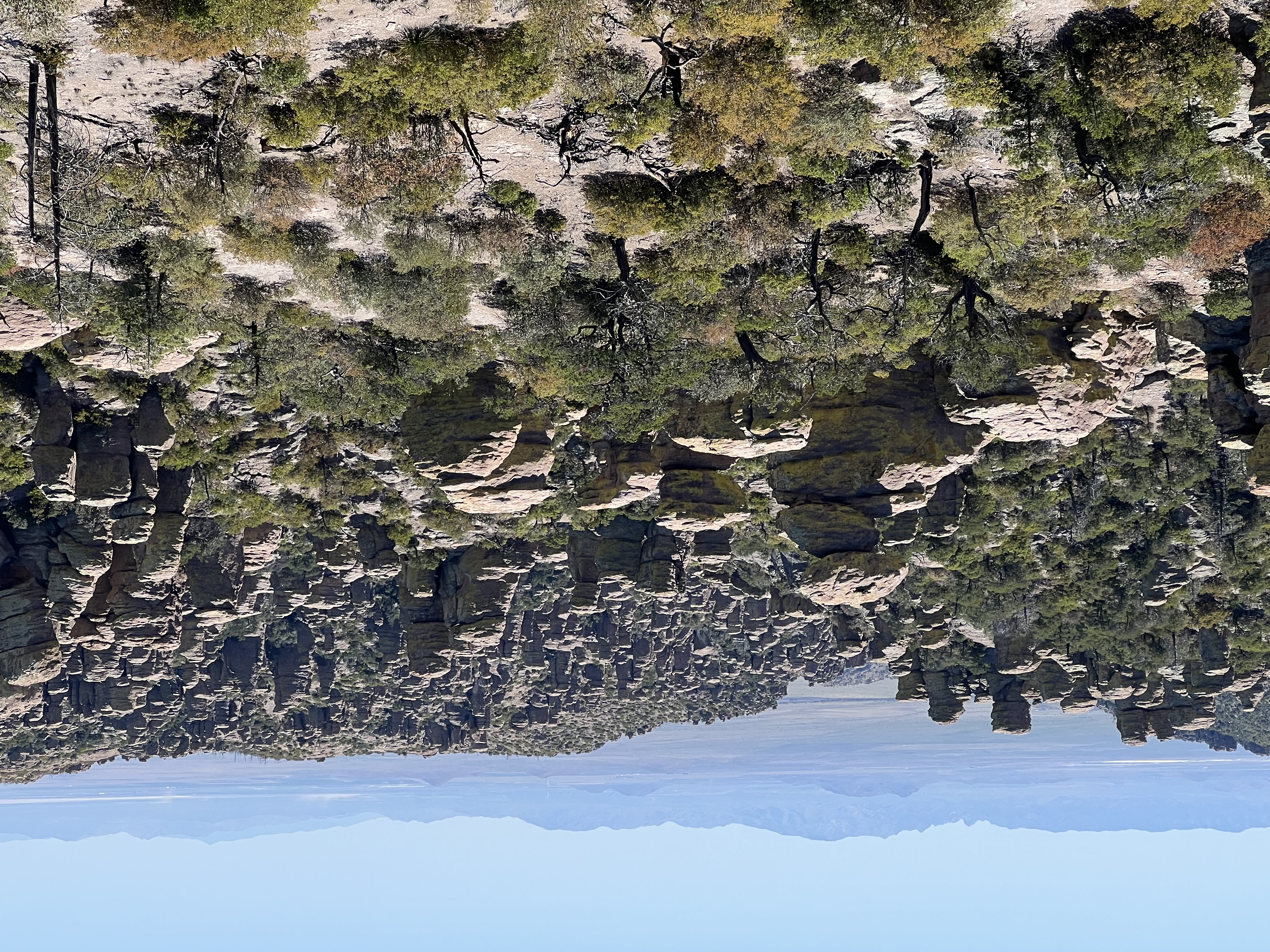
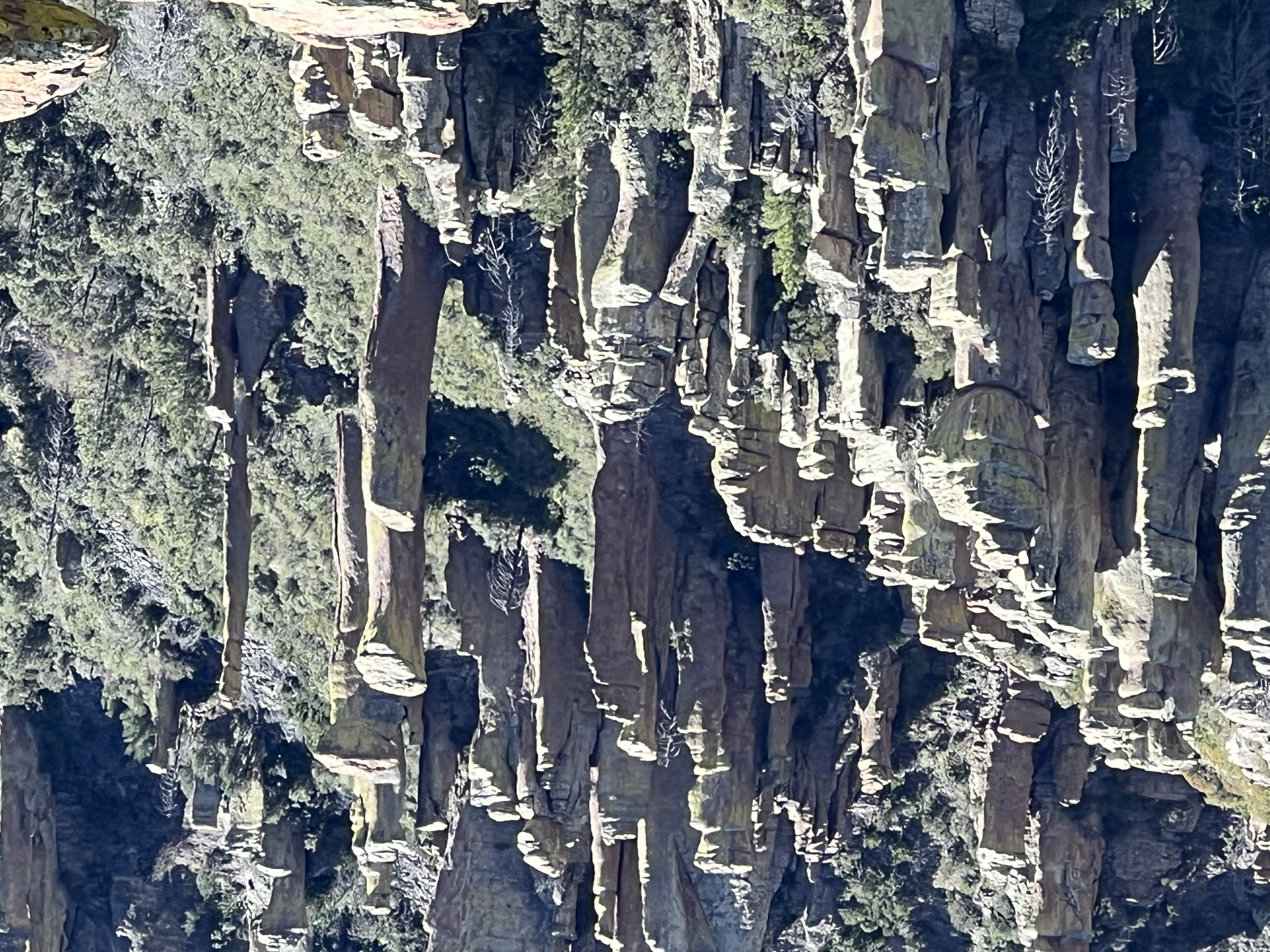
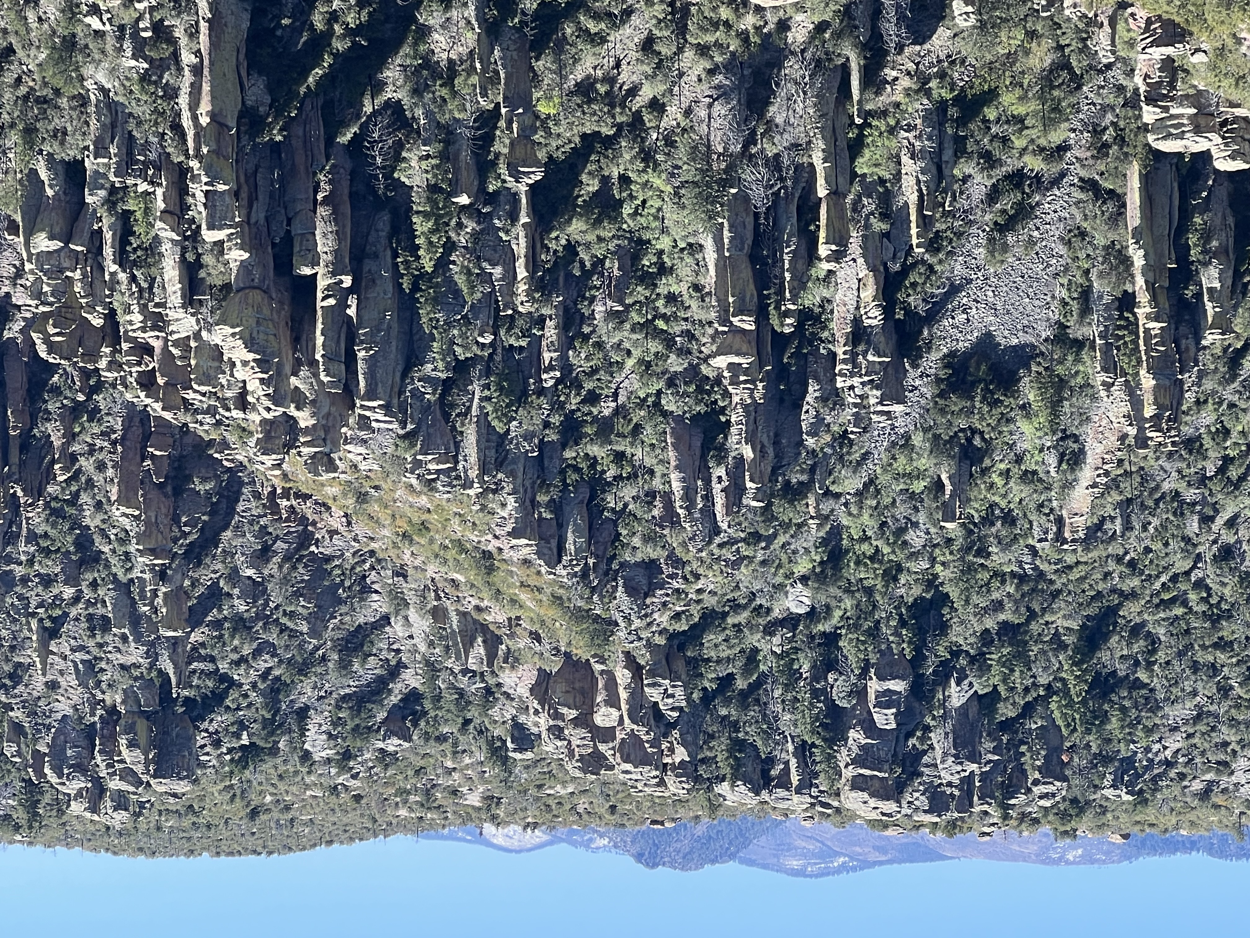
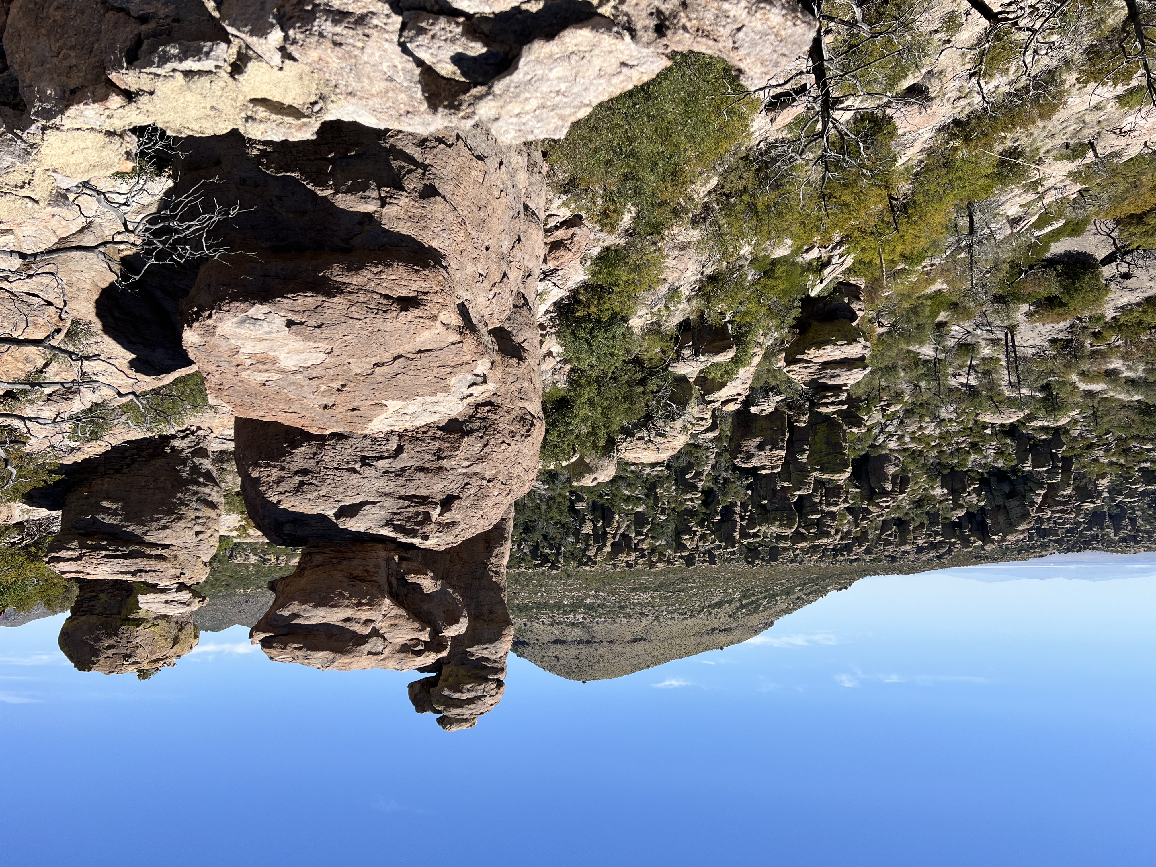
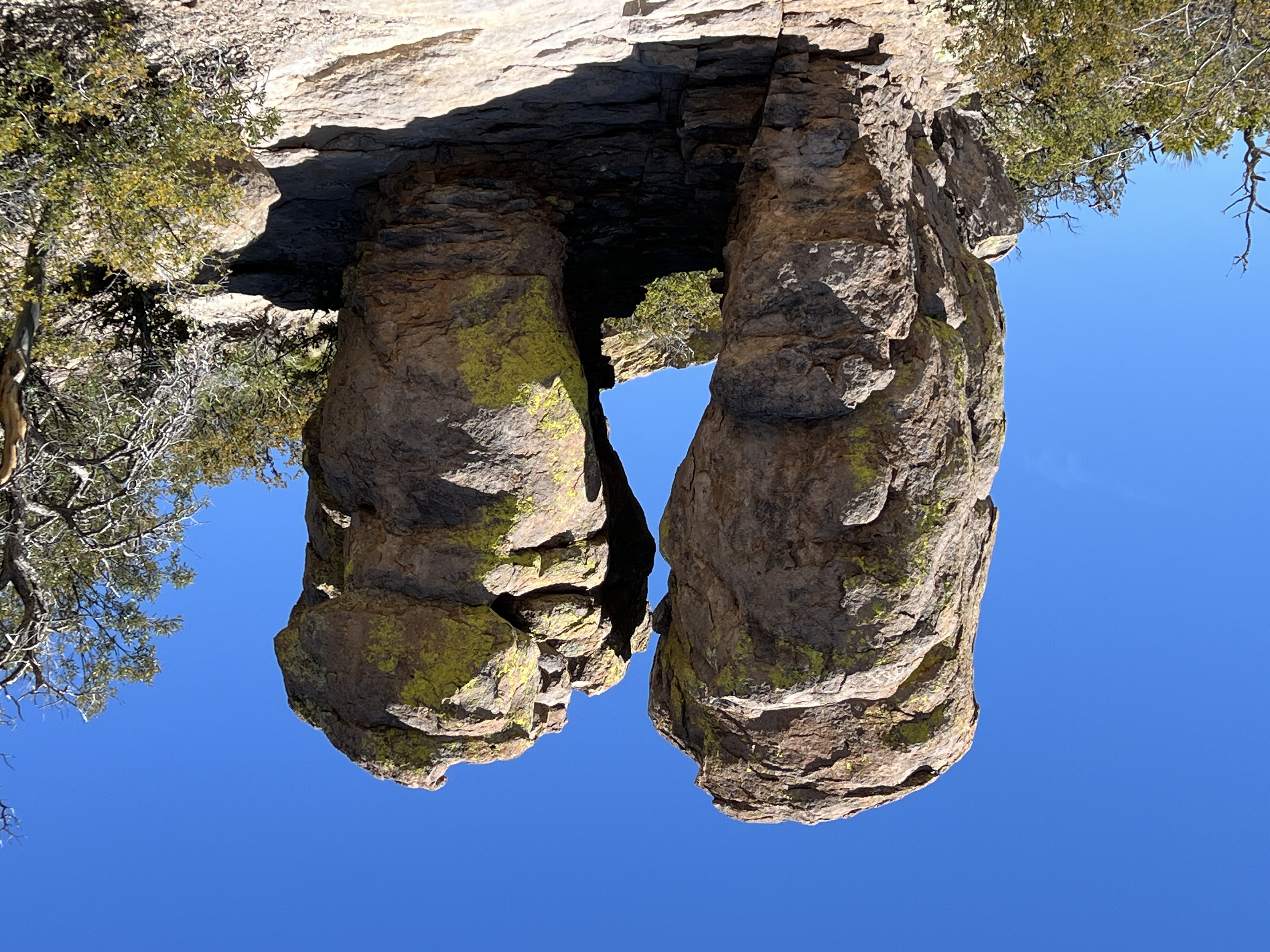
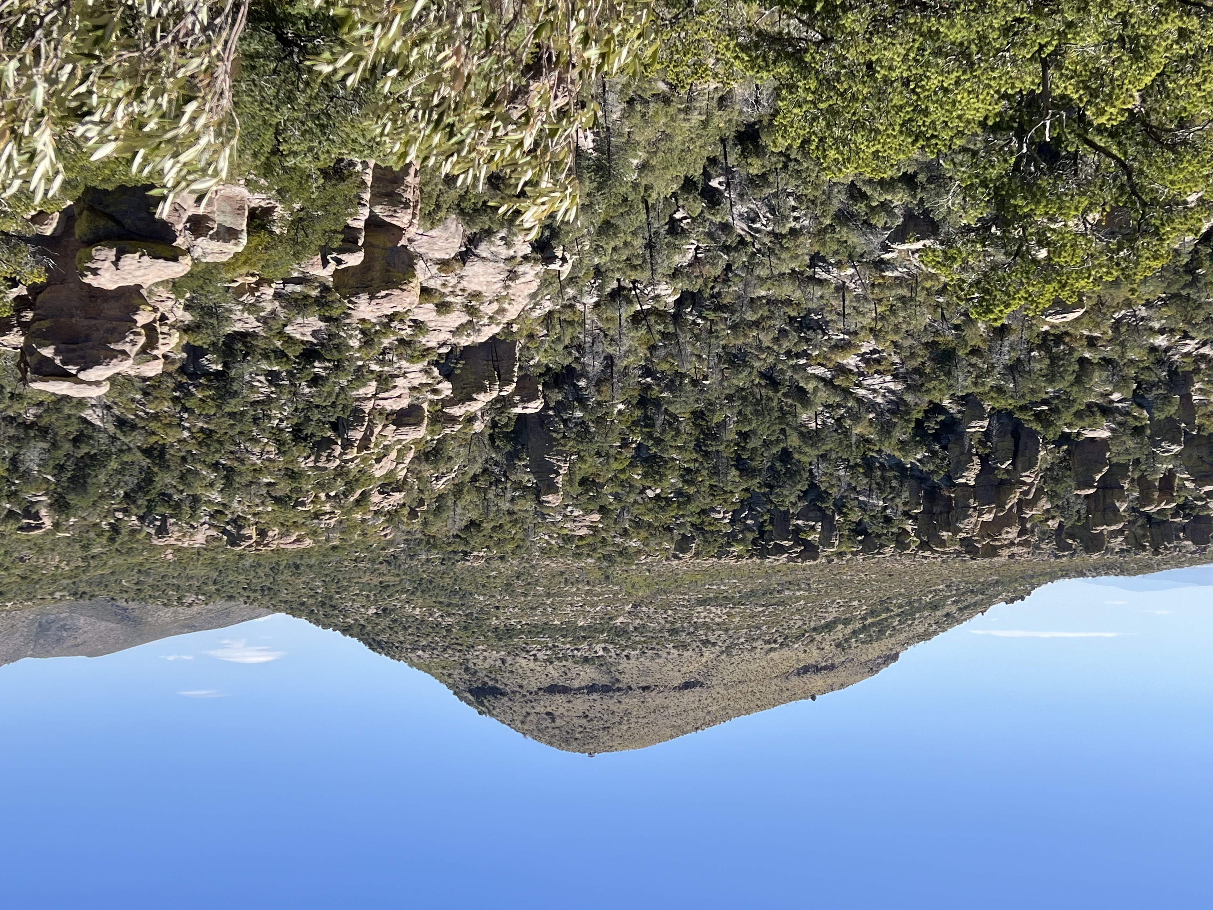
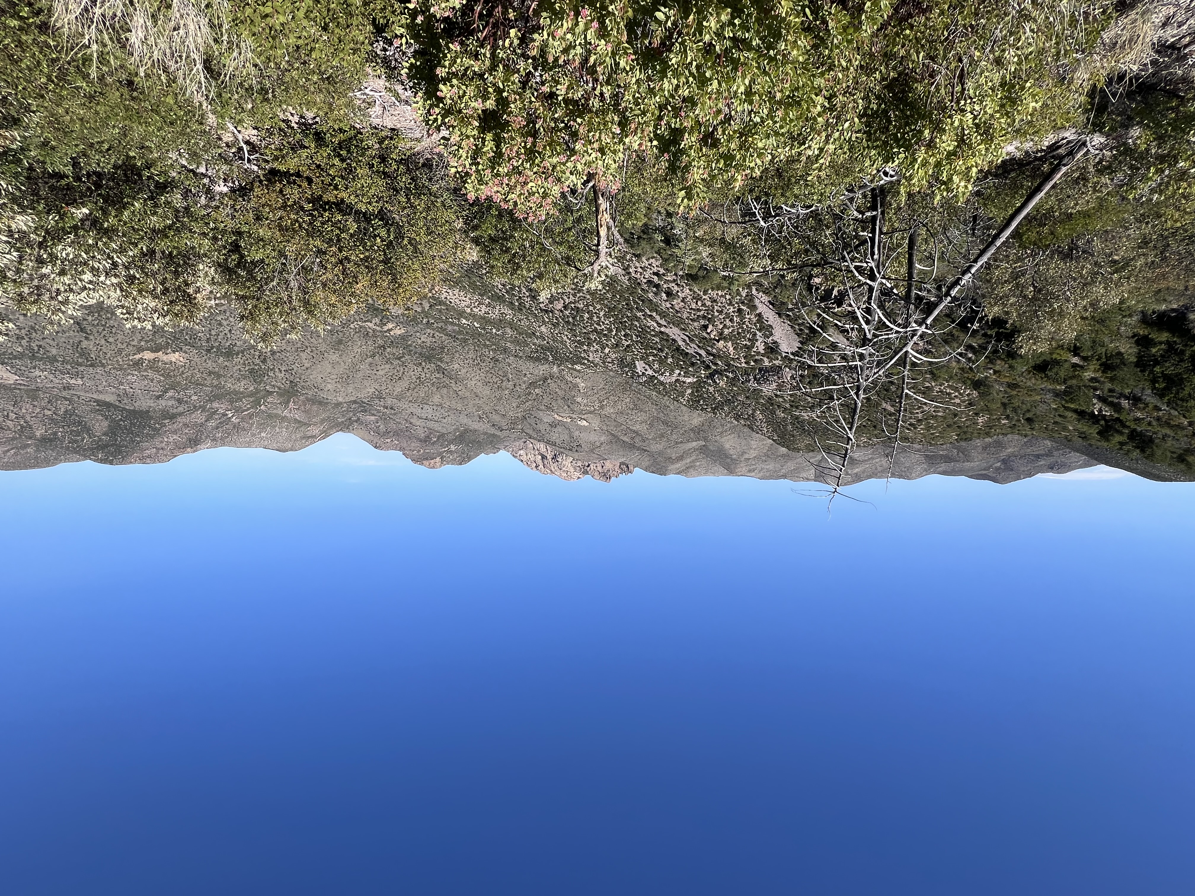
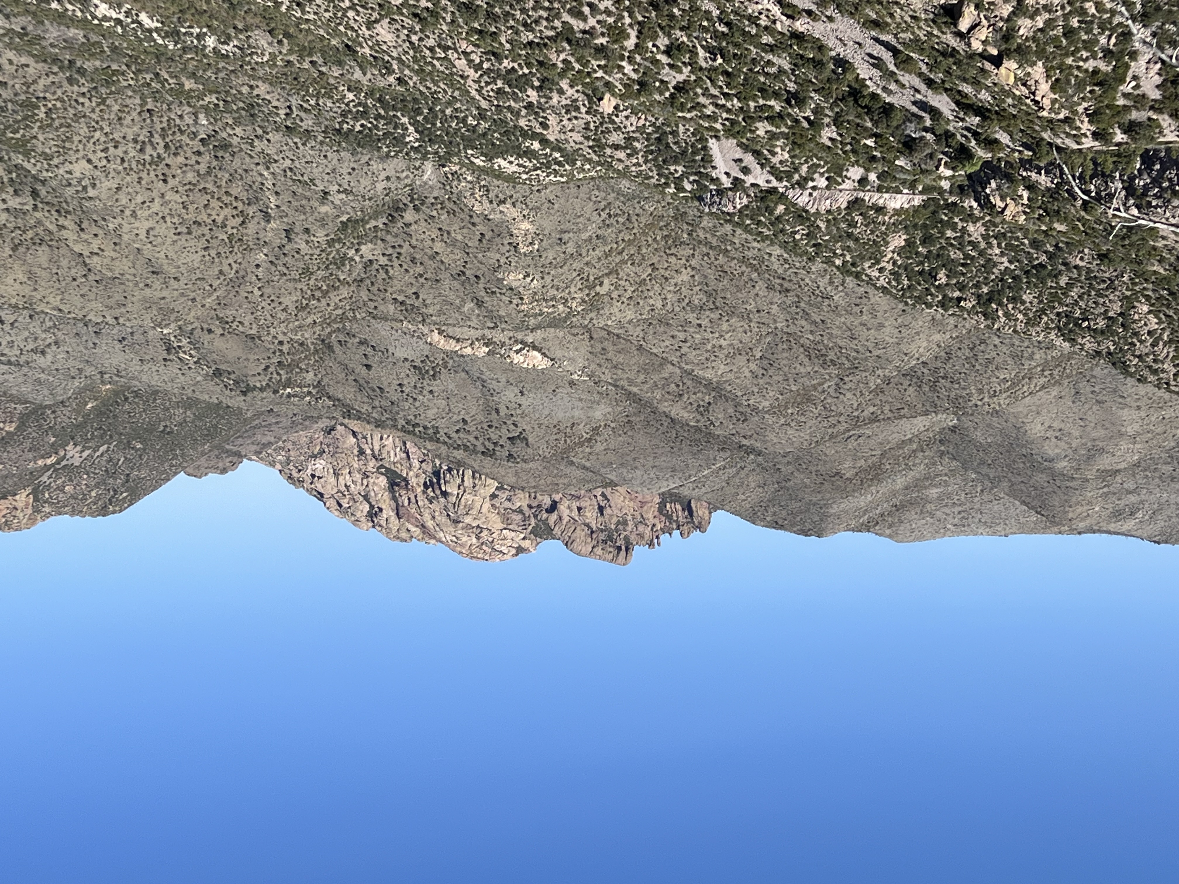
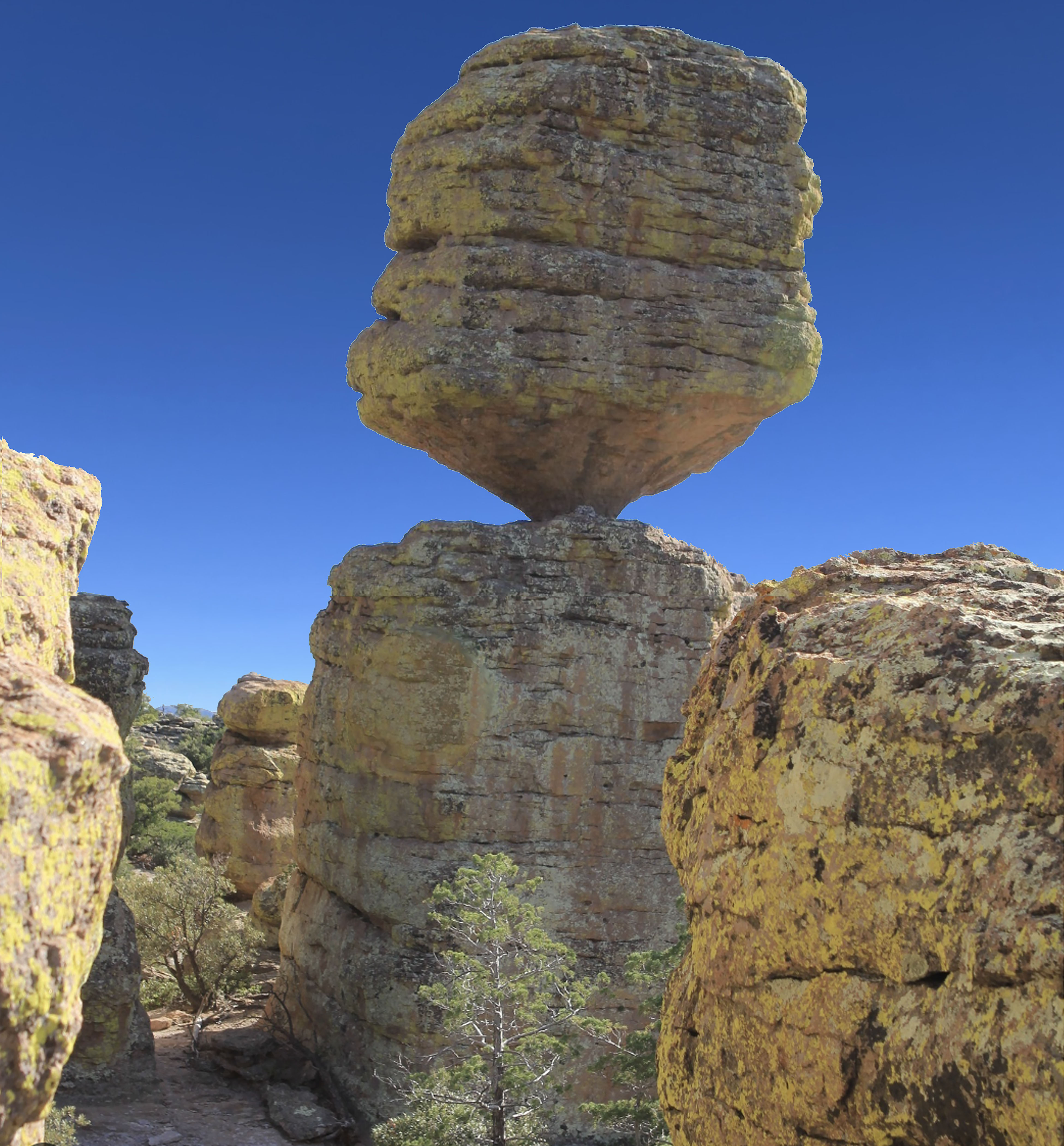 Fig. 22. Big Balanced Rock.