|
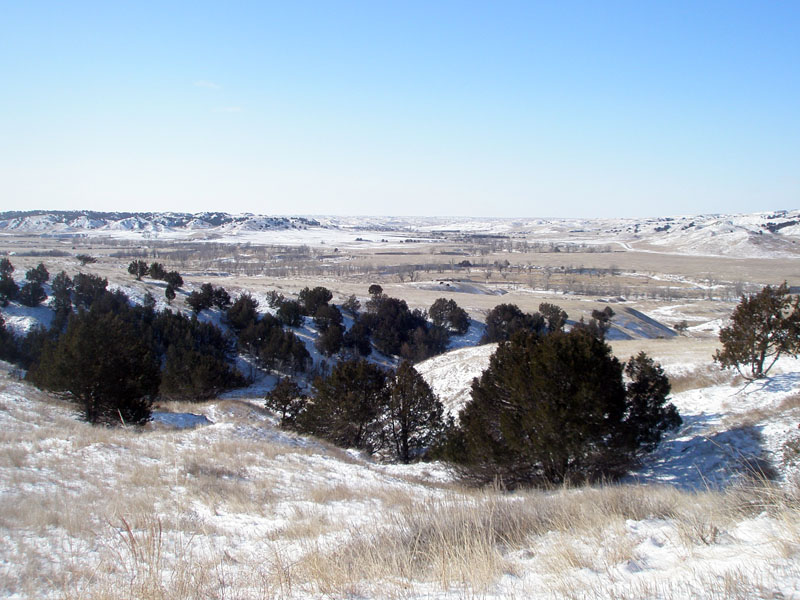
| View looking north from the Sage Rim Road across the broad prairie of Sage Creek Valley. In this region, Pierre Shale underlies most of the landscape visible. Three tributaries, East, Middle, and South Forks, of Sage Creek converge in this area. A thick blanket of Quaternary-age sediments underlies much of Sage Creek valley near the Sage Creek Campground. The campground is at the end of a 1 mile (1.5 km) road along the west side of the valley (distant right in this image). |
|
The URL is: https://gotbooks.miracosta.edu/gonp/badlands/html2/badl0183.htm Last modified: 11/29/2010 |