UvasCanyon1.jpg
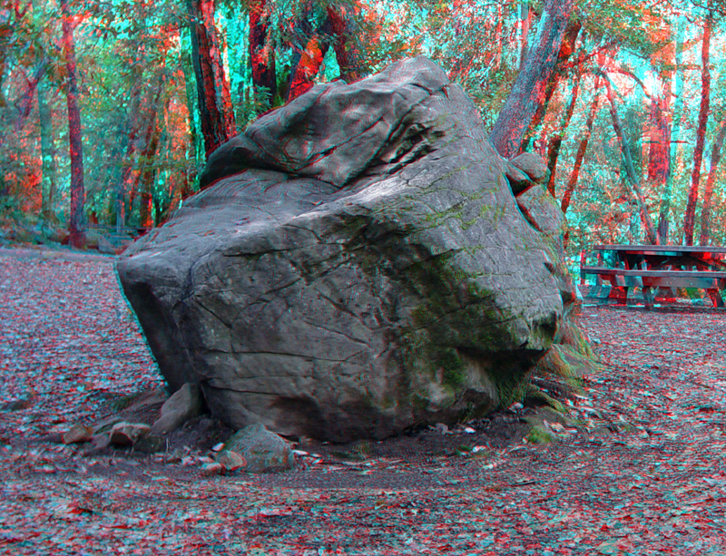
This large sandstone boulder originally came from much higher on Summit Ridge. Mass wasting moved it downslope to its current location in the Black Oak picnic area in Uvas Canyon County Park.
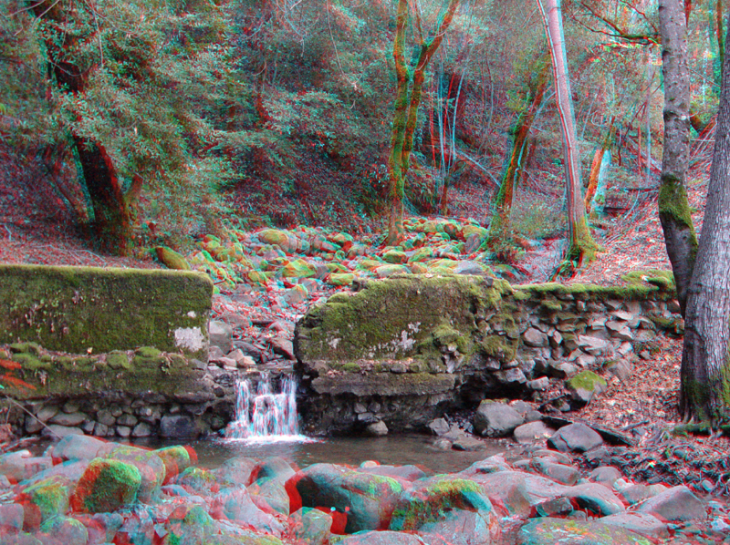
This old washed-out dam is in Swanson Creek along the Waterfall Loop Trail.
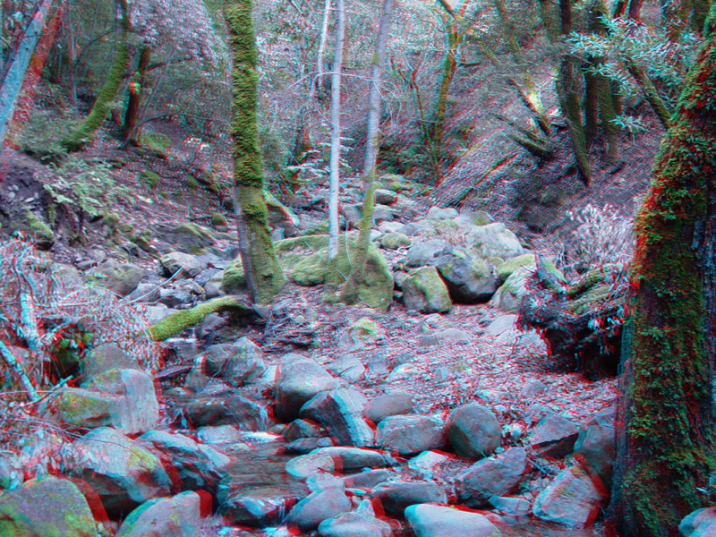
Large boulders fill the drainage of Swanson Creek in Uvas Canyon Park.
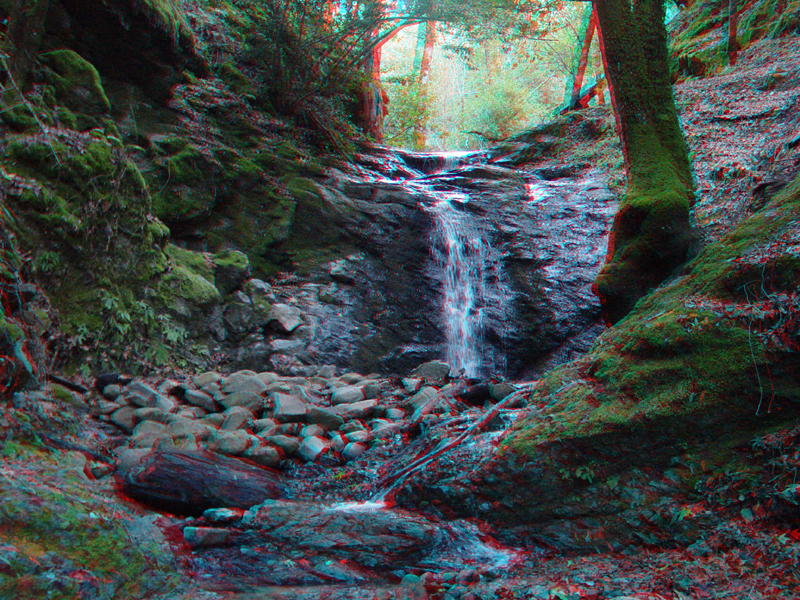
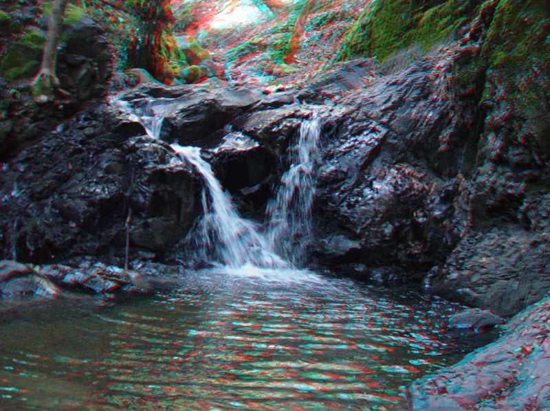
Lower Falls along Swanson Creek.
UvasCanyon5.jpg
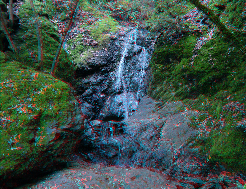
Upper Falls along Swanson Creek.
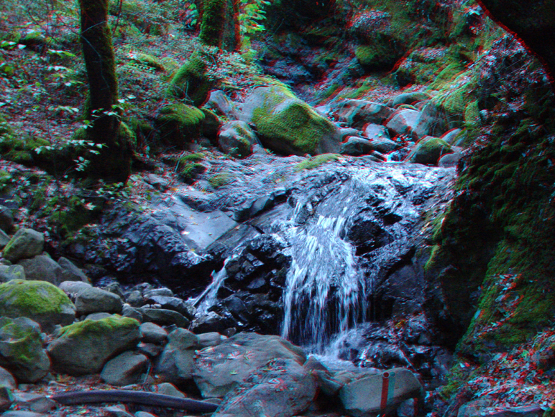
Basin Falls is along a small tributary of Swanson Creek near Upper Falls.
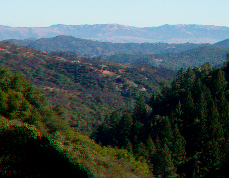
Looking down Uvas Canyon from the Knobcone Trail provides a view of part of a residential area that was severely damaged during the Croy Fire of 2002. The fire burned 3,127 acres and destroyed 34 residential structures and damaged others. Twin Peaks ridge near Uvas Reservoir is beyond the burned area. The Diablo Range in the vicinity of Mt. Hamilton is in the distance.
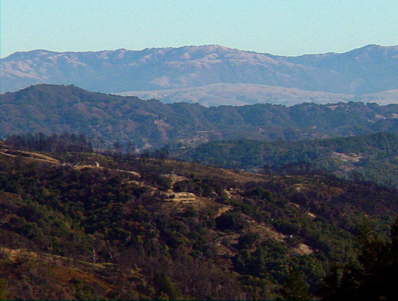
Looking east from the Knobcone Trail toward part of the burned area from the 2002 Croy Fire. Twin Peaks ridge between Morgan Hill and Uvas Reservoir is in the middle of the image. Mt. Hamilton in the Diablo Range is in the center of the horizon.
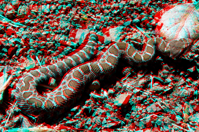
A young western diamondback rattlesnake warms itself in the Fall morning sun along the Knobcone Trail.
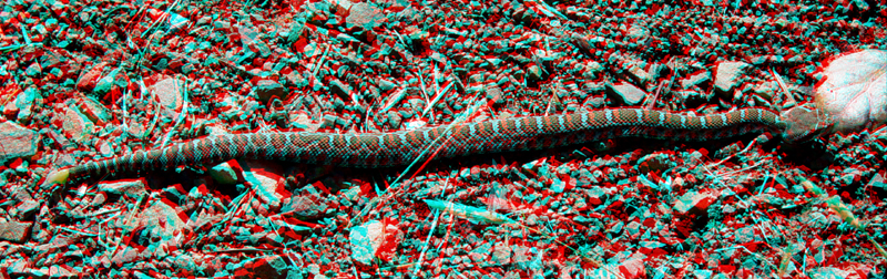
A young western diamondback rattlesnake.
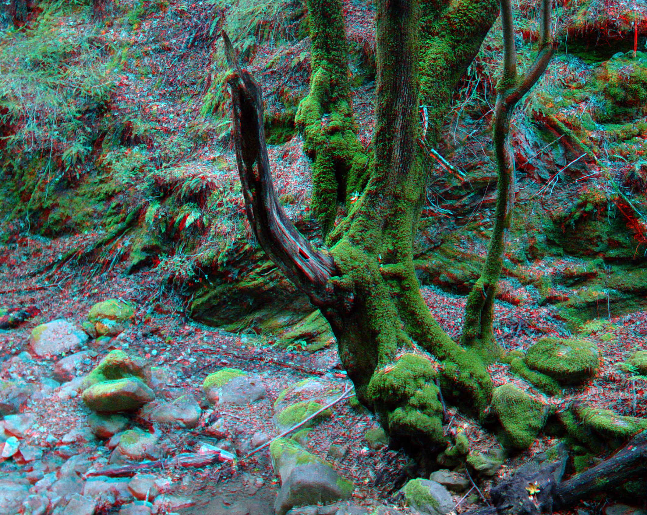
Moss-covered dead tree along Swanson Creek.
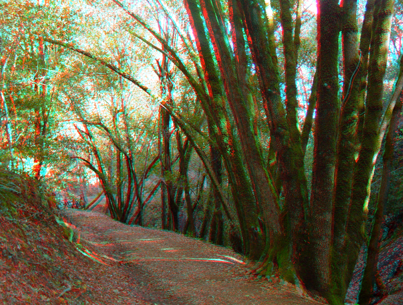
Bay laurel trees along the Waterfall Loop fire access road.
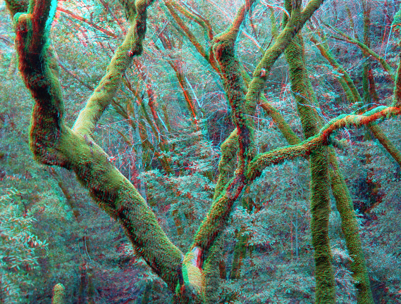
Forest canopy in Uvas Canyon.
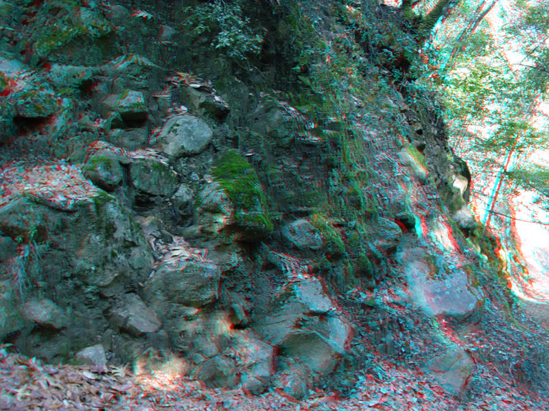
Quaternary colluvium deposits are exposed along the Waterfall Loop fire access road. The deposit consist mostly of sandstone and conglomerate block derived from high on Summit Ridge.
UvasCanyon15.jpg
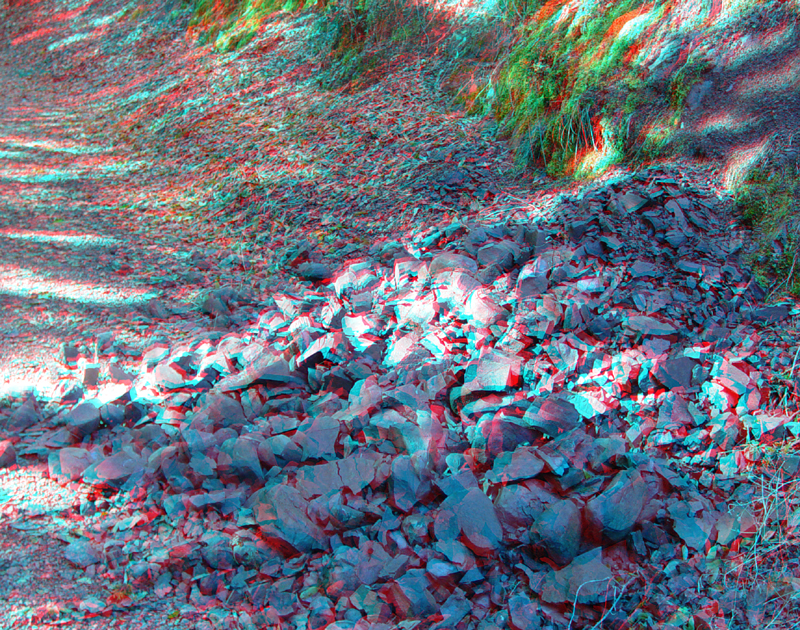
This small landslide along the Waterfall Loop fire access road came down after heavy rains in November 2003.
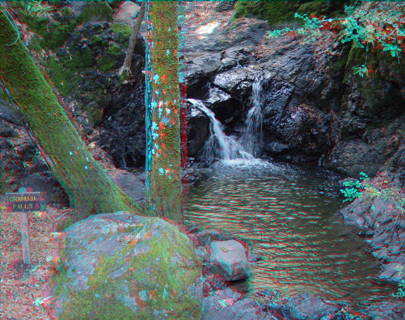
Granuja Falls along lower Swanson Creek.
Granuja Falls along lower Swanson Creek.