Sanborn.jpg
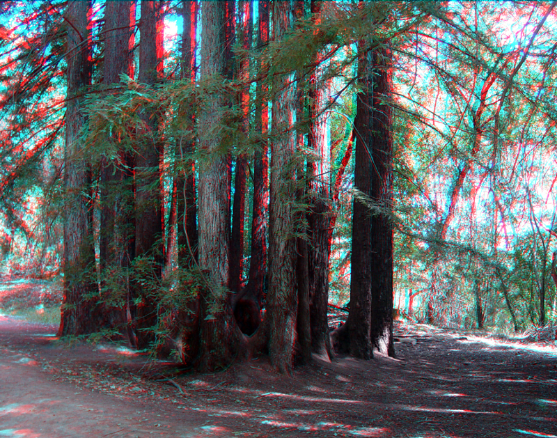
A "fairy ring" is a circle of coastal redwoods that have sprouted from the roots of a parent tree that has long since disappeared. Sanborn park has numerous fairy rings throughout its redwood groves. Nearly all of the ancient trees were cut in this area in the late 19th century.
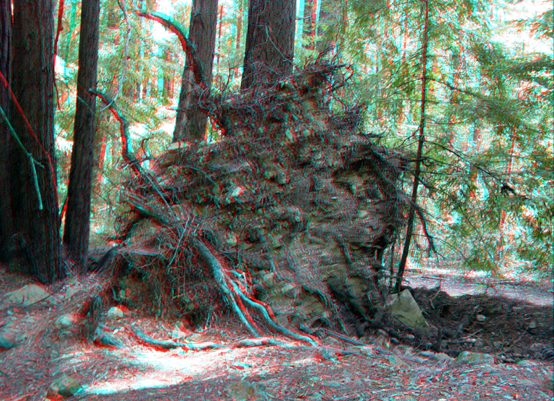
Tree falls are part of the landscape development processes, producing a hummocky surface and in some cases, modifying stream flow patterns.
The San Andreas Fault runs through Sanborn Park. Evidence of the fault can be see in the form of offset streams, shutter ridges, fault escarpments, sag ponds, and pressure ridges. This section of the trail near the Park Maintenance Building follows the trace of the fault. A low shutter ridge is on the right.
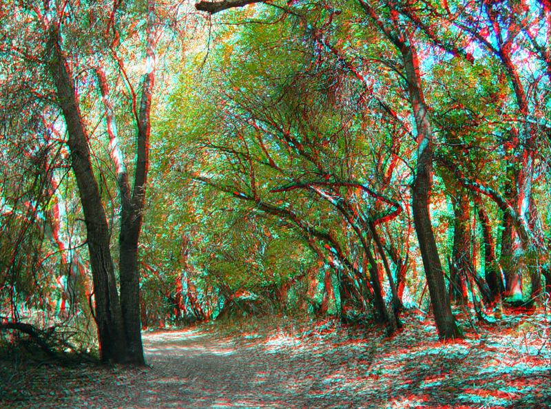
Although Sanborn Park has had a long history of human activity, it basically still has a wilderness. This field near Walden Rest was once a sag pond along the fault, but it was drained and filled in to be used as an orchard. It is now a meadow of native grasses. Redwoods grow in the distance.
Sanborn5.jpg
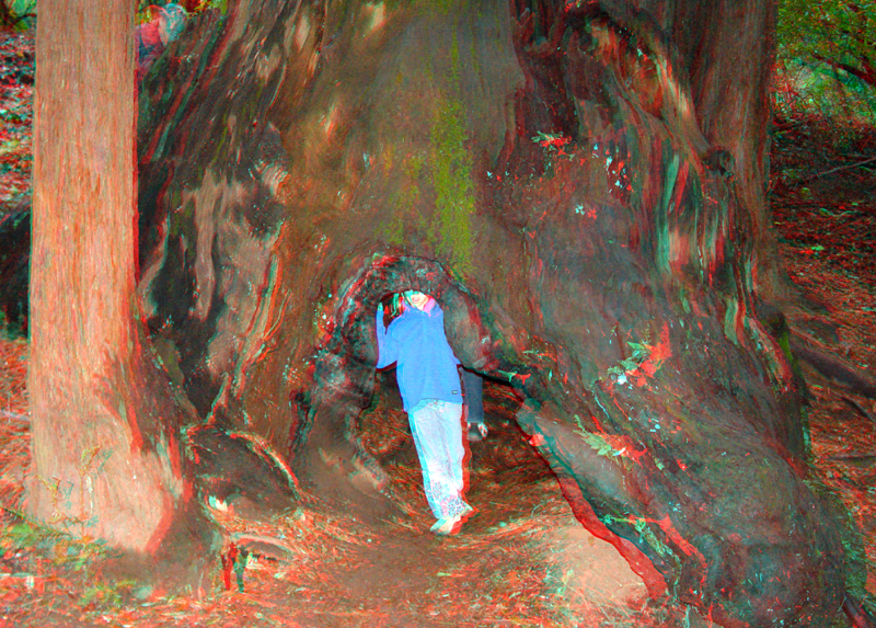
This stump of a large, burned out redwood is along the Sanborn Nature Trail.
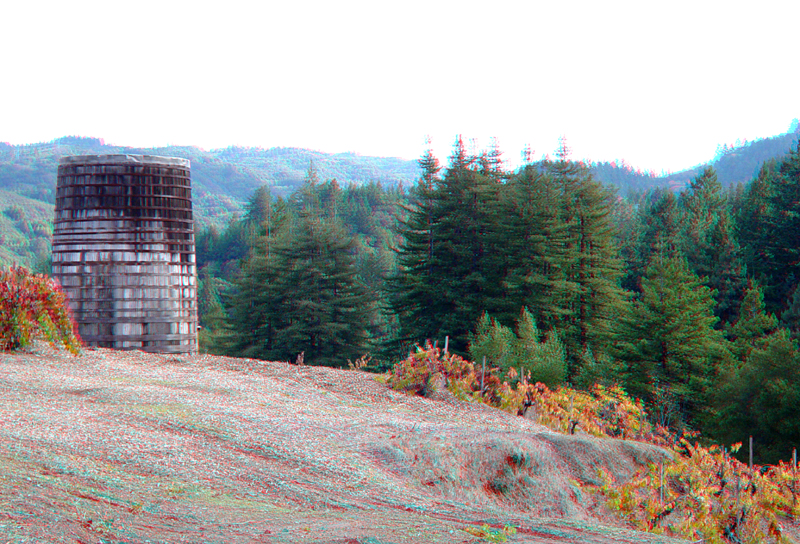
The Savannah-Channelle Winery is on the north end of Sanborn County Park. It is accessible by about a 2 mile hike from the main parking areas along Sanborn Road (or from Highway 9 about a half mile west of the intersection of Sanborn Road. The grounds of the winery and vineyards are on a shutter ridge of the San Andreas Fault. The fault is in the valley just to the right of this image. In the distance is the rift valley. The trace of the fault can be seen in the notch in the ridge on the distant right.
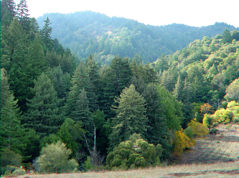
Another example of an offset stream can be seen at the Savannah-Channelle Winery just south of the tasting room visitor center. The fault runs along the base of the hill in the foreground. Skyline ridge to the west forms the horizon.
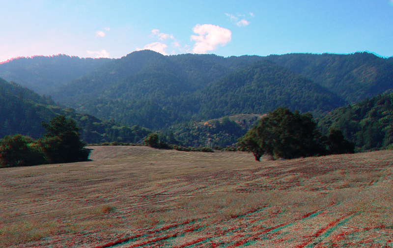
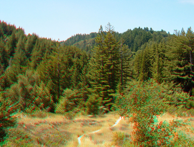
An excellent view of the San Andreas Rift Valley at Sanborn Park is from the parking lot at the Mountain Winery (about 2 miles east of Sanborn Park on Eden Road - off of Highway 9). Skyline Ridge is in the distance. The valley to the left is Sanborn Creek. The vineyards of the Savannah-Channelle Winery are in the middle of the image.