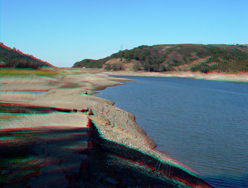
Lexington1.jpg
Late summer low water levels in Lexington Reservoir expose portions of the old roads that were used in the construction of the reservoir and to the historic towns of Lexington and Alma that once existed in the valley before the reservoir was constructed in 1952. The Southern Pacific Railroad also went through the valley (connecting San Jose with Santa Cruz). This image shows the north side of the reservoir near the Bear Creek Road overpass. The dam is located in the notch in the distance ridgeline (Los Gatos Creek Canyon).
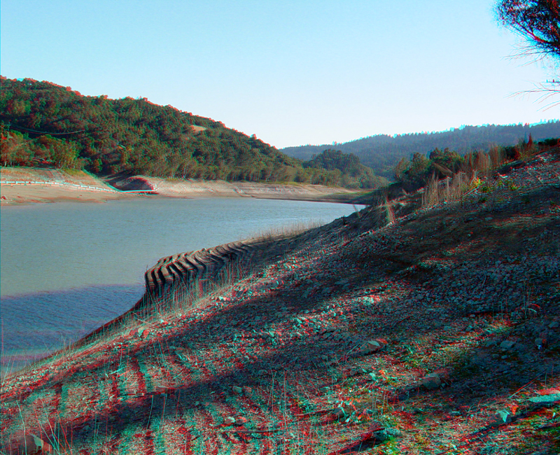
Looking south along Lexington Reservoir toward the headwaters region of Los Gatos Creek. The San Andreas Fault crosses Los Gatos Creek just south of the upstream end of the reservoir.
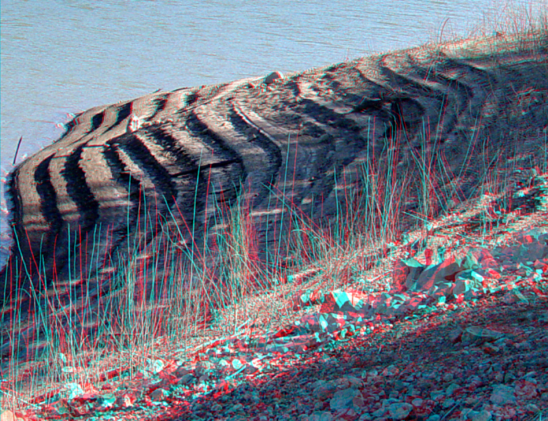
Shoreline steps are probably a result of the daily progressive draw down of the reservoir combined with cycles of wind buildup and corollary shore erosion in the afternoons.
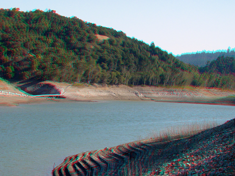
The "bathtub ring" around Lexington Reservoir is most exposed in the late summer and fall.