HenryCoe.jpg
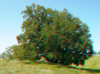
Bay laurel trees, like this one along the Steer Ridge Trail on Mt. Wilson, are common on the mountainsides in Henry Coe State Park.
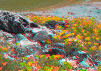
California poppies (the CA state flower) are abundant on a large serpentinite outcrop area near the peak of Mt. Wilson in southern Henry Coe State Park.
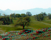
Oak and grass woodlands dominate the high country throughout Henry Coe State Park, such as this area on Mt. Wilson near the serpentinite outcrop area mentioned above.
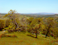
Looking north from the top of Mt. Wilson into the heart of this vast wilderness park. The park is encompasses about 81,000 acres.
HenryCoe5.jpg
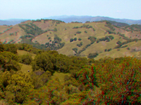
Looking south from Mt. Wilson across the valley of Hunting Hollow Creek. The distant mountains are the Quien Sabe region of the Diablo Range (south of Highway 152).
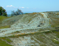
Another view of the bald serpentinite area near the top of Wilson Peak.
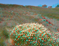
Spring wildflowers in the Mt. Wilson serpentinite area.
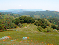
View looking east along the Mt. Wilson Steer Ridge Road toward the Canada de la Dormida valley in southern Henry Coe State Park.
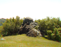
A "blue schist knocker" along the Bowl Trail on the south flank of Wilson Peak. Massive block of dense metamorphic rock like this are fairly common on the hillsides throughout southern Henry Coe State Park.
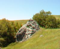
Another rocky outcrop along the Bowl Trail.
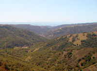
View looking west down Hunting Hollow Creek valley into the headwater region of Coyote Creek in southern Henry Coe State Park. The Santa Cruz Mountains are barely visible in the haze across the distant Santa Clara Valley near Gilroy.
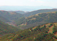
This view shows greater detail of the distance valley near the confluence of Hunting Hollow Creek with Coyote Creek. Loma Prieta Peak is barely visible in the upper right.