FremontPeak.jpg
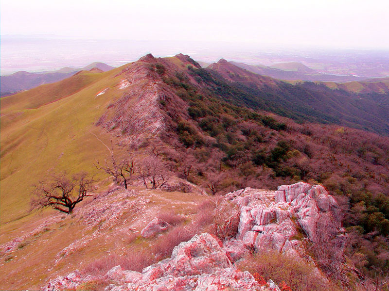
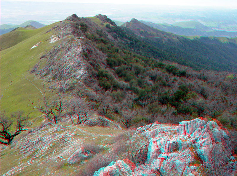
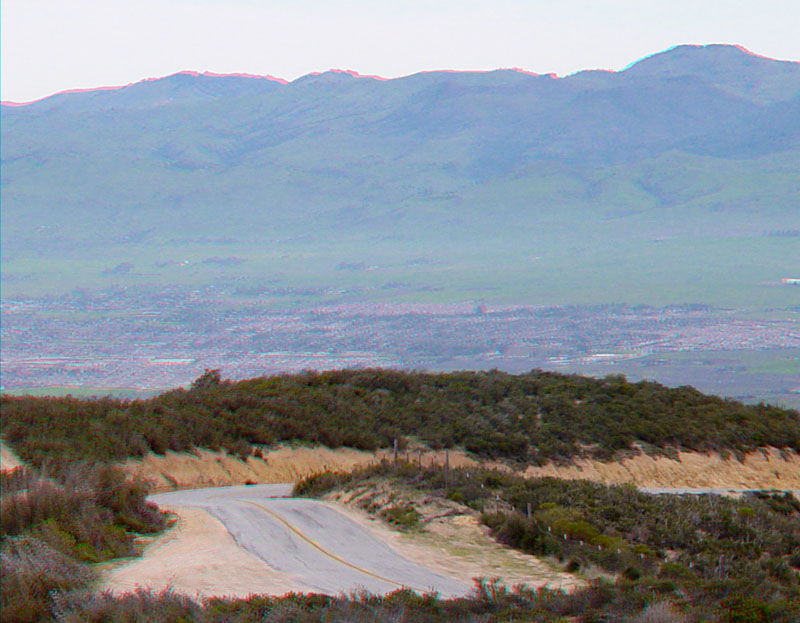
This massive ridge of marble bedrock crops out along the ridgeline at Fremont Peak. This view is looking west along the ridge crest from a location near the high point of Fremont Peak. Fremont Peak is at the northern end of the Gabilan Range. This view from the top of Fremont Peak encompasses much of the southern Santa Clara Valley region, Monterey Bay, Salinas Valley, and surrounding mountain ranges.
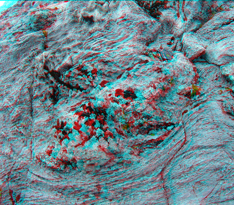
Marble outcrops on Fremont Peak. The marble predates Cretaceous-age granitic rocks that have intruded the marble (based on investigations of similar rocks in the Salinian rocks in the Coastal Ranges).
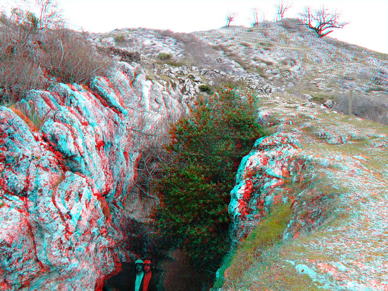
Numerous abandoned mines occur throughout the marble outcrop area on Fremont Peak. Barite (a barium sulfate mineral) occurs locally along veins and fracture fillings in the marble. Some of these veins were worked during Spanish colonial times and may have been part of the reason General Fremont and his followers chose to inspect the mountain peak.
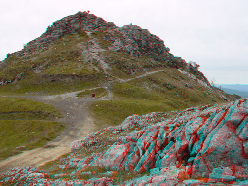
The high barren point of Fremont Peak.
FremontPeak5.jpg
A close-up view of weathering features in the marble. Whether the patterns in the rock reflect remnants of biological structures (such as marine coral, algae, or invertebrates) or are secondary metamorphic textures are unclear. Age estimates of the original limestone range from early Paleozoic to Cretaceous.
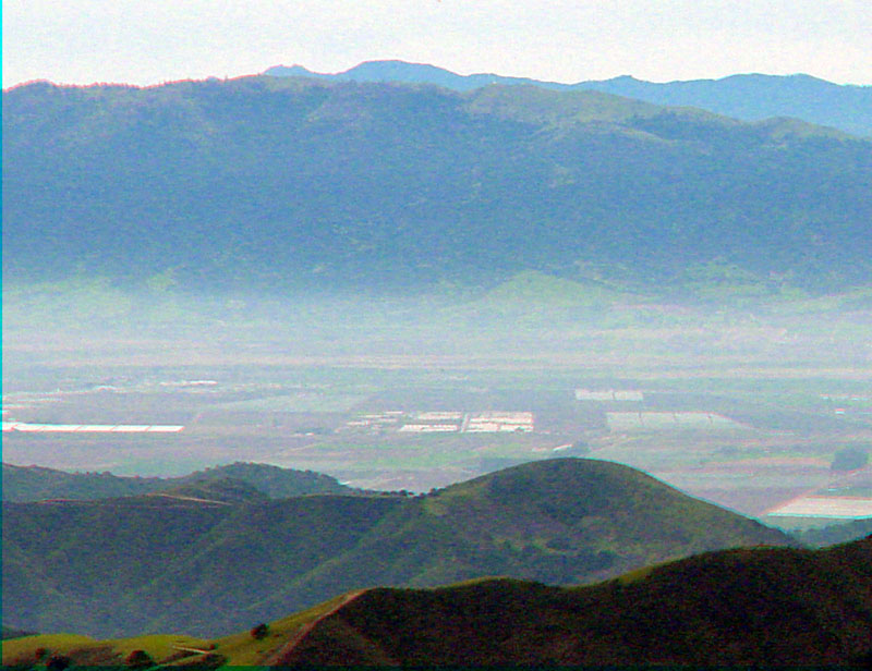
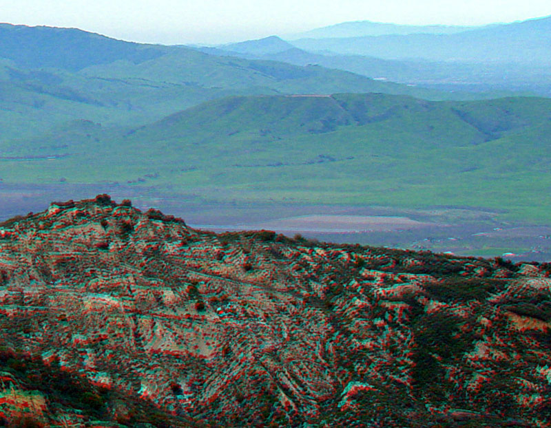
Salinas Valley (shown here filled with fog) is west of Fremont Peak. The Santa Lucia Range is in the distance.
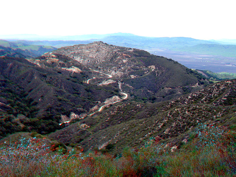
On the east side of Fremont Peak, the northern Gabilan Range is underlain by granitic rocks. Deeply weathered outcrops form a sandy soil for chaparral habitats along the road to Fremont Peak. In the distance, peaks of the Quien Sabe Range rise above the valley around Hollister.
An abandoned granitic rock quarry on the north side of the road to Fremont Peak.
The abandoned quarry area with the southern Santa Clara Valley (around Hollister) and the Diablo Range around southern Henry Coe State Park in the distance.