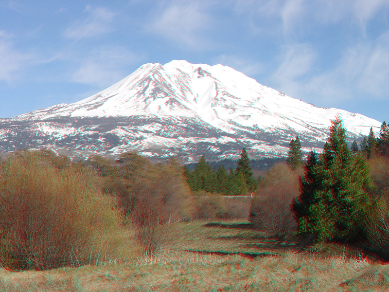
| This view of Mt. Shasta shows a bowl-shaped combination glacially
carved cirque and avalanche chute on the northwest side of Shastina (one
of at least four volcanic edifices that in combination form the larger stratovolcano called Mt. Shasta) (Christiansen, 1990). This view was taken
in the town of Weed near the intersection of Interstate 5 and US Highway
97. Mt. Shasta has erupted at least a dozen times in the last 10,000 years, with the most recent eruption about 200 years ago. Eruptions have produced lava flows, lava domes, pyroclastic flows, and ash fall events that have affected the region extending tens of kilometers around the volcano summit (Miller, 1980). |