|
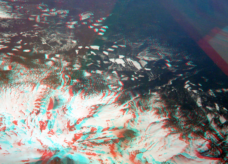
| Aerial view of Mount Shasta's northeastern flank taken from an airline window at about 30,000 feet on a commercial flight between San Francisco and Seattle. Note the small crater on the top of Mount Shasta's peak in the lower left side of the image. The white patches throughout the upper right are a result of forest clearcutting on the flanks of the volcano. |
|
The URL is: https://gotbooks.miracosta.edu/gonp/shasta/html/aerial.htm Last modified: 1/13/2011 |