 |
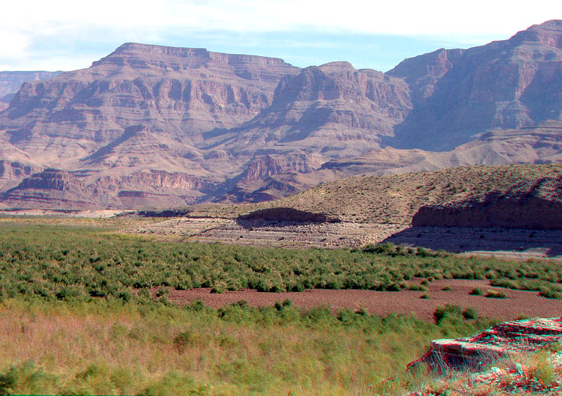
This view is from near the end of Pierce Ferry Road. Low water levels in Lake Mead have resulted in the closure of this harbor for access to the lake. The muddy floodplain of Grapevine Wash is now blanketed by the tamarisk, an invasive species. The high Grand Wash Cliffs mark the western edge of the Colorado Plateau. The Grand Wash Cliffs extend along the western end of the Shivwitz Plateau. In Arizona these high cliffs extend along the Hualapai Valley (to the south of Pierce Ferry Road). North of Lake Mead the Grand Wash Cliffs extend northward along the western margin of the plateau along the east side of the Grand Wash northward across northwestern Arizona to near St. George, Utah. To the east of this line, the Paleozoic strata is generally not tectonically faulted and deformed relative to the rocks west of this line (Beard and others, 2007; Billingsley and Wellmeyer, 2003). |