 |
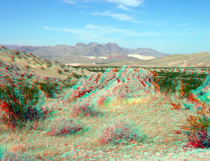
This small outcrop of Permian-age limestone is located near a pull off near milepost 25 on the Northshore Road. This view is looking north across the Bitter Spring Valley toward the Muddy Mountains in the distance. The brightly colored sediments in the distance are middle Miocene-age continental sediments of the Horse Spring Formation. These rocks stand out in contrast to the darker and older Paleozoic- and Triassic-age of the Muddy Mountains in the distance. This section of the Northshore Road roughly follows the trace of the Lake Mead fault system. This interconnected series of left-lateral faults displaces rocks of pre-middle Miocene age by as much as 40 to 50 miles (65 to 80 kilometers) (Tingley and others, 2001; Beard and others, 2007). |