|
|
|
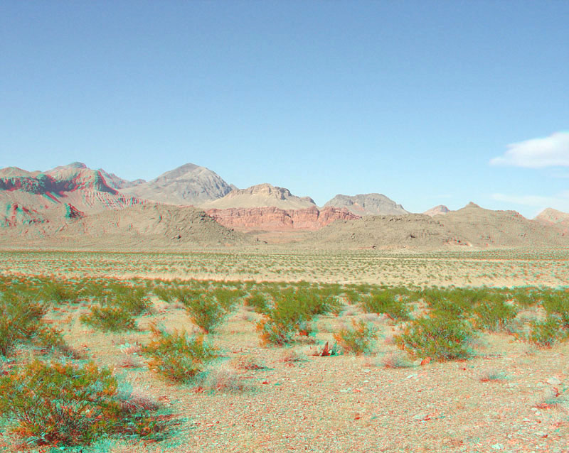
This view is looking north from the Bowl of Fire Overlook near milepost 19 on the Northshore Road. The Callville Wash (at western end of the Bitter Spring Valley) is in the foreground. The bright red escarpment of the Aztec Sandstone (Early Jurassic age) crops out beyond gray, upturned layers of lower Horse Spring Formation (Middle Miocene). In the distance, Paleozoic-age sedimentary rocks crop out on Muddy Peak and other peaks in the Muddy Mountains north of the park. |
|
The URL is: https://gotbooks.miracosta.edu/gonp/lame/html/lame2076.htm Last modified: 9/22/2010 |