 |
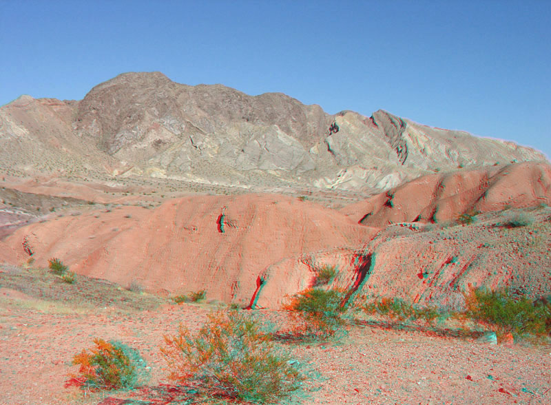
This view shows ridge is along the Northshore Road near milepost 14. Older sedimentary rocks of late Paleozoic and early Mesozoic age crop out in the core of this uplift. Steeply dipping strata in the hogbacks along the south-facing flank consists of the Bitter Ridge Limestone Member of the Horse Spring Formation. The red outcrops in the foreground are part of the Red Sandstone, and are part of undifferentiated sedimentary basin fill deposits of Late Miocene Age (Tingley and others, 2001; Beard and others, 2007). |