 |
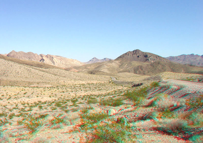
This view is looking east along the Northshore Road (near milepost 12 and near the intersection of the access road to Callville Bay). This portion of the park is geologically complex, being at the intersection of two major regional strike-slip fault systems: 1) the northwest trending right-lateral Las Vegas Shear Zone and 2) the northeast-trending left-lateral Lake Mead Shear Zone (click here to see a geologic map showing the location of these two fault/shear zones). The Gale Hills are to the left which include the brightly colored hogback ridge that consists of the Bitter Ridge Limestone of the Horse Spring Formation. The dark butte to the right of the center of the image consists of volcanic rocks of the Callville Mesa area (Tingley and others, 2001; Beard and others, 2007). |