 |
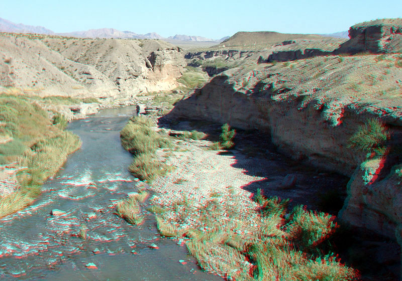
This view is looking east from the bridge over Las Vegas Wash located near milepost 1 on the Northshore Road.
The Las Vegas Wash drains 1,600 square miles within Las Vegas Valley. Las Vegas Wash is now a perennial stream whereas before regional urban development it was once a seasonally active desert wash with broad floodplains. The change in stream regime in just three decades has caused significant lateral erosion and down-cutting episodes. Today the stream channel is heavily modified to mollify the effects of major floods that have caused extensive damage to developing urban areas along its floodplain region (U.S. EPA, 2009). This view shows older Quaternary-age alluvial terraces and gravels exposed in the cut banks of the modern stream channel. |