|
|
|
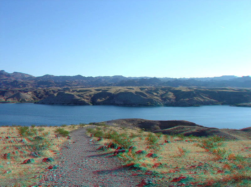
This view is looking east for the overlook at the end of Nevada Highway 165. A flat erosionally dissected, elevated river terrace stand out on the tops of the bluffs on the Arizona side of Lake Mohave. The central Black Mountains are along the horizon. |
|
The URL is: https://gotbooks.miracosta.edu/gonp/lame/html/lame1054.htm Last modified: 9/22/2010 |