 |
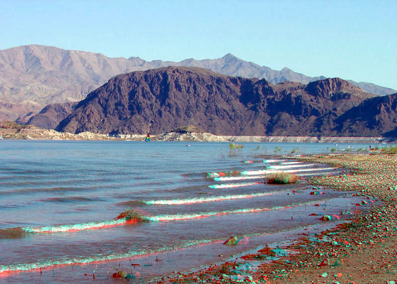
This view is looking south from Boulder Beach toward Promontory Point. Hoover Dam is on the south side of this massive ridge that consist of middle Miocene-age volcanic rocks. Mount Wilson in the distance is a high peak at the north end of the Black Mountains in Arizona; elevation 5,445 feet (1660 m). The peak is part of the Mount Wilson Wilderness Area and is underlain by Precambrian-age gneiss and schist, and a Tertiary-age pluton that formed about 13.5 million years ago. The mountainous area then rose in the last 10 million years along faults along the flanks of the uplift (Beard and others, 2007). |