
| Ohio is host to a remarkable number of prehistoric American Indian earthworks. Most sites are now on private lands, but many of the major earthworks are preserved in parks in southern Ohio. This website provides photographic information about five of these archaeological park locations. | ||||
Click on images, text, or maps to take a tour of these park locations. |
||||
 |
 |
 |
 |
 |
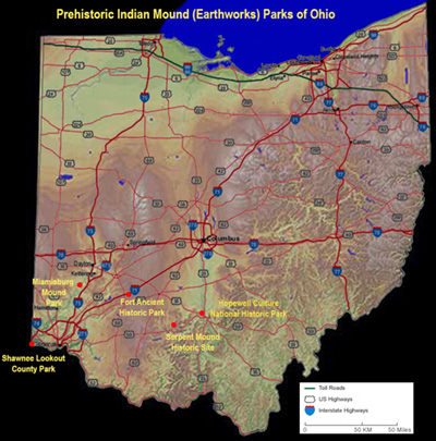
| Hopewell Culture National Historic Park |
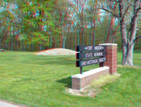
Serpent Mound State Memorial Park |
Fort Ancient State Memorial Park |
Miamisburg Mound State Memorial Park |
Shawnee Lookout archaeological Park |
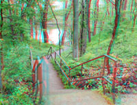
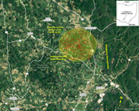
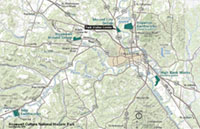 Hopewell Culture NHP consists of five site locations near Chilocothe, Ohio including Mound City Group, Hopeton Earthworks, Seip Earthworks, Hopewell Mound Group, Spruce Hill Earthworks & High Bank Works. |
 Serpent Mound is perhaps Ohio's most famous prehistoric earthworks because of its effigy is in the shape of a large serpent. It is located within an ancient cryptoexplosive geologic structure. |
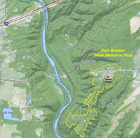 Fort Ancient State Memorial Park is a large earthworks located on a hilltop along the east side of the Little Miami River Valley. |
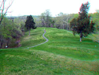
 Miamisburg Mound is the second largest earthen mound structure in the United States, located on a hilltop along the east side of the Great Miami River Valley. |
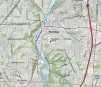
 Shawnee Lookout Park overlooks the confluence of the Great Miami River and the Ohio River. This location preserves one of the longest histories of prehistoric human occupation in the United States. |
| Click on any image or "next image" button on each page to navigate this website as an online tour. |
 |
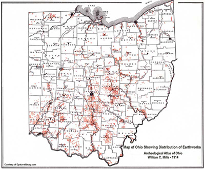 This is a historic map of Ohio indian mounds and earthworks known at that time (compiled in 1914). Click here or on the map for a larger view. |
| This map shows the locations of parks discussed on this website. Click here or on the map for a larger view. |
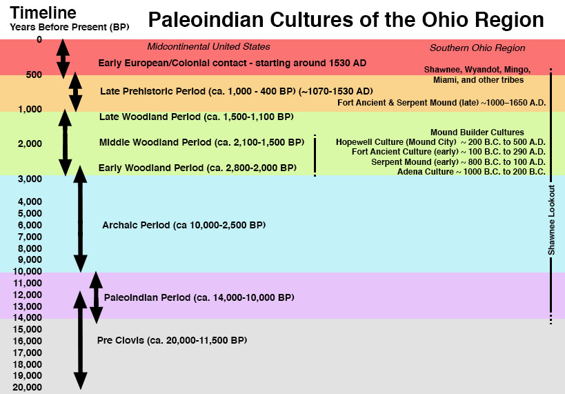 |
| Timeline of Ohio Paleoindian cultures of the Ohio region (20,000 years ago to present), modified after sources including Lepper, Bradly T, 2005, Ohio Archaeology, An Illustrated Chronicle of Ohio's Ancient American Indian Culture. |
| Click here to see selected references about sites described in this website. |
 |
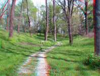
This website contains images produced from stereo photo pairs that were manipulated into anaglyphs (3-D images). You will need red-and-cyan stereo viewing glasses to get the 3-D visual effects. Click on the Standard Photo Tour button above for a tour using regular photography. |
| This page is <https://gotbooks.miracosta.edu/gonp/hocu/> Last modified: 5/11/2019 |