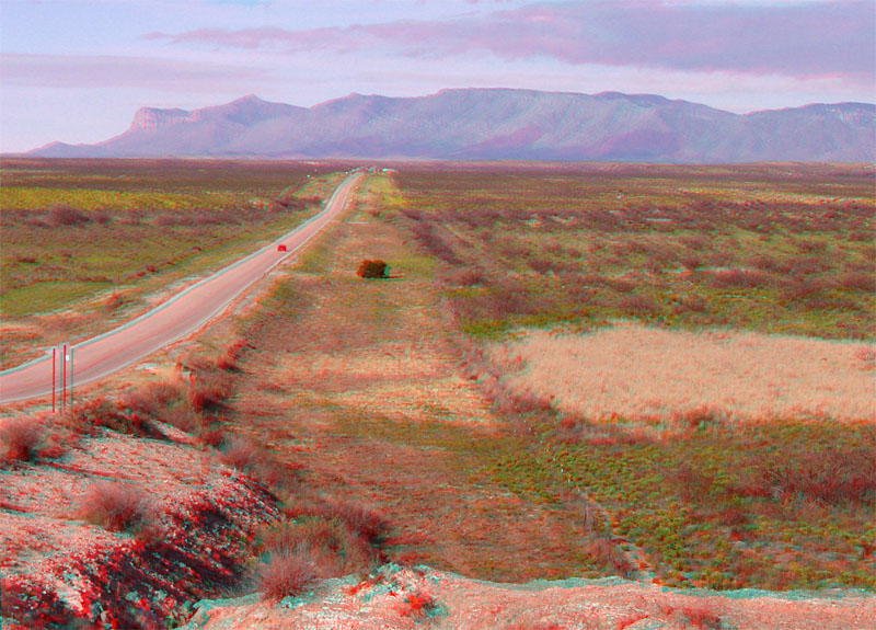
| This view is looking west along Highway 62/180 near the Texas-New Mexico Border. Frijole Ridge along the southeastern flank of the Guadalupe Mountains in the vicinity of the national park is in the distance. Guadalupe Peak and El Capitan are to the left of Frijole Ridge. The low country on the southeast side of the mountains is part of the Delaware Basin. In contrast to the massive Permian-age reef track (El Capitan Reef) preserved along Frijole Ridge, the Delaware Basin is both a topographic and a geologic structural basin (part of the larger Permian Basin). During the late stages of the Permian Basin's history, the seaway that filled the basin region became restricted, and evaporation of seawater resulted in the accumulation of gypsum and anhydrite (calcium-sulfate minerals) and calcite. The remnants of these massive deposits are called the Castille Formation of Middle to Late Permian age (see Hayes, 1964; Anderson, 1972). The Castile Formation is as much as 700 meters thick (Lucas and Anderson, 1994). The highway outcrop in the foreground consists thinly laminated layers of organic-rich gypsum, anhydrite, and calcite of the Castille Formation. |