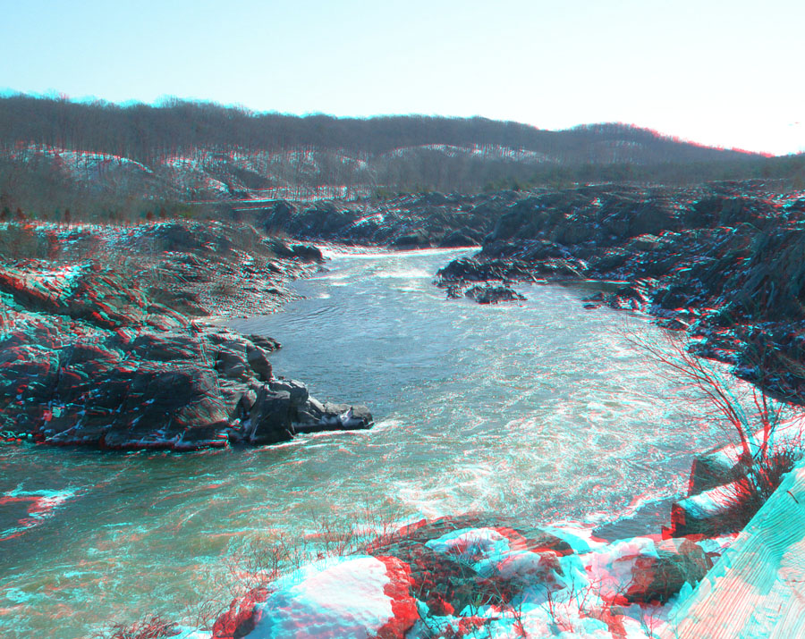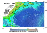
The Fall Line is an imaginary line connecting locations, marked by waterfalls and rapids, where rivers descend abruptly from an upland region to the coastal lowlands. The Fall Line connects are the location where major cities first became established in the American Colonies. Cities developed in these locations because it was the farthest up river ships could travel before unloading. Fall-line cities developed around these historic port locations. In the Eastern U.S. the imaginary fall line is between the uplands of the Appalachian Piedmont and the lowlands of the Atlantic and Gulf coastal plains. The boundary roughly follows an elevation of about 60 meters (200 feet) above current sea level. This elevation was sea level before glacial ice started accumulating on Antarctica about 35 million years ago.

Fall Line cities along the margin between the Coastal Plain and the uplands of the Appalachian Mountains and Piedmont provinces on the East Coast. (Click on image for a larger view.)