
|
Click here to start a tour of Grand Canyon's North Rim. Click on any of the images to continue to the next page in the linked series of web pages. Or, see a thumbnail gallery. Click here to see other Grand Canyon Tours. |
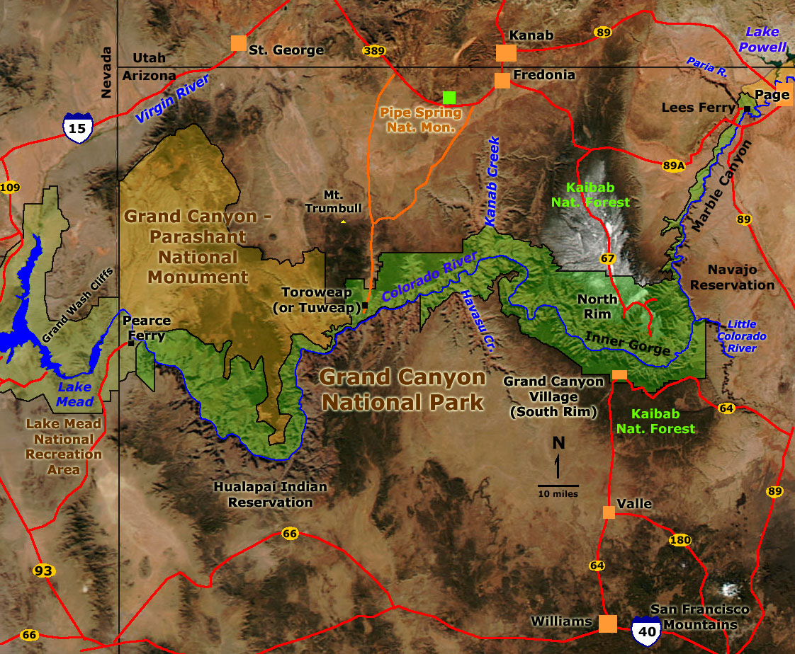 Click on the map or click on "next image" to see a series of park images. |
Click here to see more geology tours of National Parks. |
| Click here to learn more about Grand Canyon National Park (National Park Service website: http://www.nps.gov/grca). Click here to see historic 3D photography taken by the John Wesley Powell Survey of 1871-72. Click here to learn about the USGS mapping expedition of 1923 through the Grand Canyon. Click here to learn more about sedimentary rock formations exposed in the Grand Canyon. Click here to see selected references. USGS Geologic maps of the Grand Canyon include: Billingsley, G. H., 2000, Geologic Map of the Grand Canyon 30' by 60' Quadrangle, Coconino and Mohave Counties, Northwestern Arizona: U.S. Geological Survey Geologic Investigation Series I-2688. Available on-line at: http://pubs.usgs.gov/imap/i-2688/. Billingsley, G. H. and Wellmeyer, J. L., 2004, Geologic Map of the Mount Trumbull 30' x 60' Quadrangle, Mohave and Coconino Counties, Northwestern Arizona: U.S. Geological Survey Geologic Investigation Series I-2766. Available on-line at: http://pubs.usgs.gov/imap/i-2766/. |
 |
This website contains images produced from stereo photo pairs that were manipulated into anaglyphs (3-D images). You will need red-and-cyan stereo viewing glasses to get the 3-D visual effects. |