|
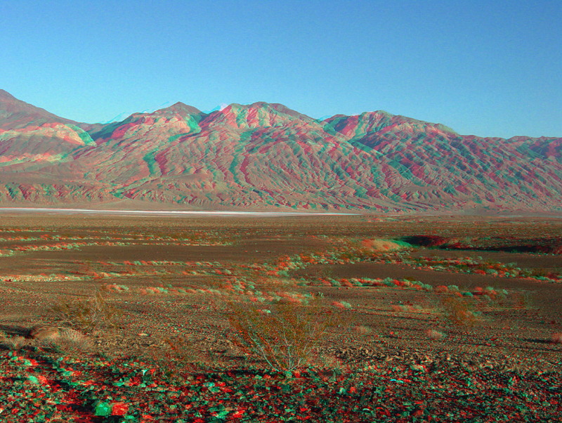
| This view is looking east from the Trona-Wildrose Road (Highway 178) across the saltpan of South Panamint Playa toward the Panamint Mountains. Elevated terraces along the lower mountainsides north of Ballarat (ghost town) reflect shoreline levels when lakes filled the valley during the Pleistocene Period. The perennial lakes in Death Valley region eventually diminished and dried up when the last ice age ended about 10,000 years ago. |