 |
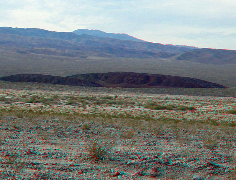
| A small volcanic cinder cone is located near the intersection of Highway 178 and the southern end of the West Side Road. The cone has be right-laterally offset by about 300 feet. This volcano erupted in the middle Pliestocene along the Southern Death Valley Fault zone (Hildreth, 1976; Spear, 2010). After the eruption, the volcano has gradually split along a strike-slip fault (the western, larger remnant of the cone has moved several hundred feet north relative to the smaller remnant on the east side of the fault). This view is looking west from Highway 178 with the Owlshead Mountain in the distance. To see an aerial photograph of this area, click here. |