|
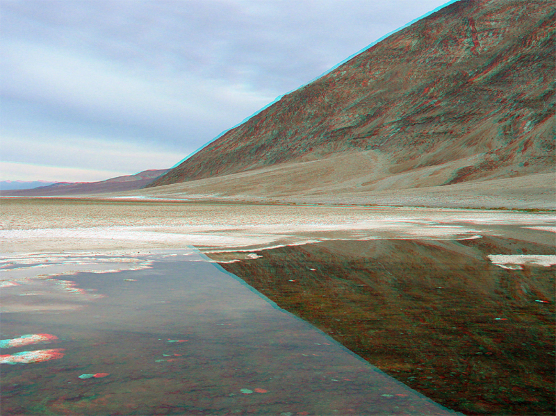
| Badwater (elevation -282 feet) is located along Highway 178 about 12.5 miles south of the intersection of Highway 190 at Furnace Creek. Perennial saltwater springs occur here at edge of the saltpan along the eastern side of the Black Mountains. The lowest point in the western hemisphere (-282 feet) is located about 5 miles northwest of Badwater near the middle of the saltpan. To see an aerial view of the Badwater area, click here. |