|
|
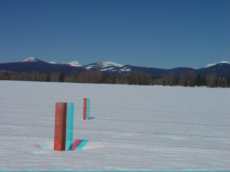
| This view is looking north from Oregon Highway 62 toward Crater Lake National Park from a pasture near Fort Klamath, Oregon. | |
|
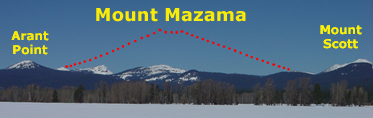
Crater Lake inundates a caldera that formed on Mount Mazama, an ancient large volcano in the Cascades Range that erupted and collapsed about 7,700 years ago. Before the eruption, Mount Mazama was probably about 12,000 feet high before the eruption. Mount Scott, on the right side of the image, is 8,929 feet (Klimasauskas and others, 2002; Ramsey and others, 2000). |
|
The URL is: https://gotbooks.miracosta.edu/gonp/crla/html/cl243.htm Last modified: 8/19/2010 |