WilderRanch.jpg
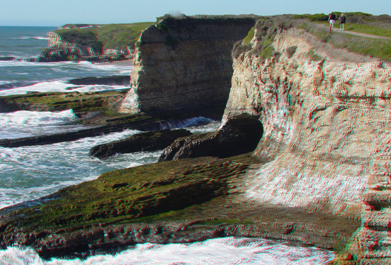
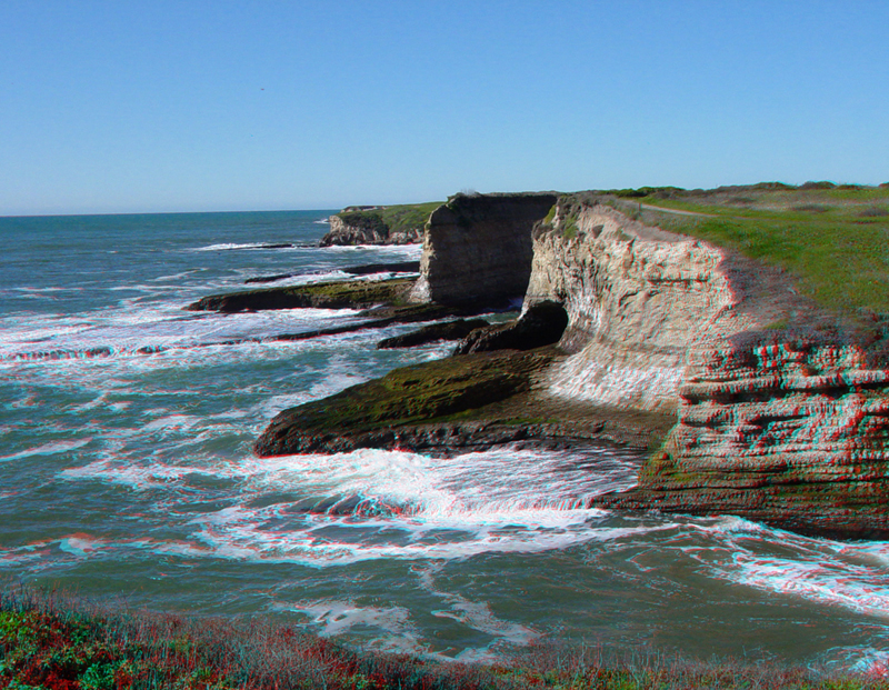
The geography of the coast at Wilder Ranch consists of a series of elevated marine terraces. The terraces increase in age progressively uphill, reflecting the gradual uplift of the coastline along the Santa Cruz Mountains. This image shows the irregular headlands at Wilder Ranch where wave action is gradually eroding cliffs of Santa Cruz Mudstone.
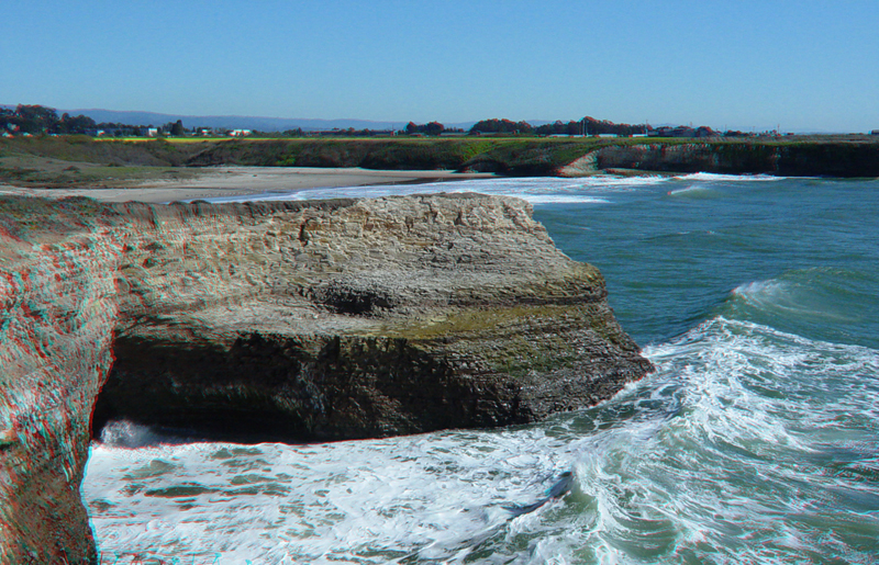
This sea cave is along the Old Cove Landing Trail. Beyond the sea bluff is Wilder Beach, a wildlife preserve that is closed to the public.
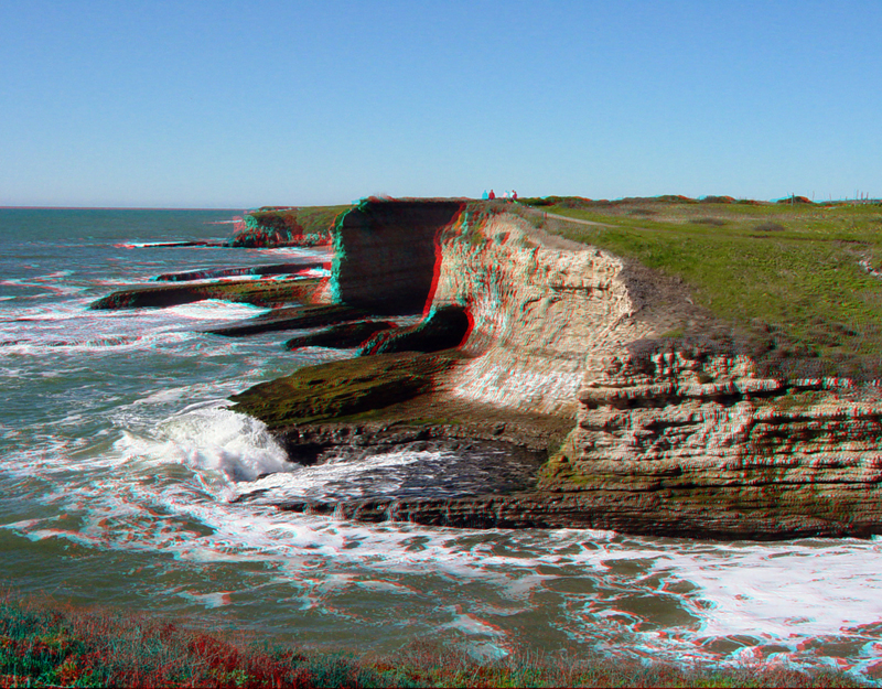
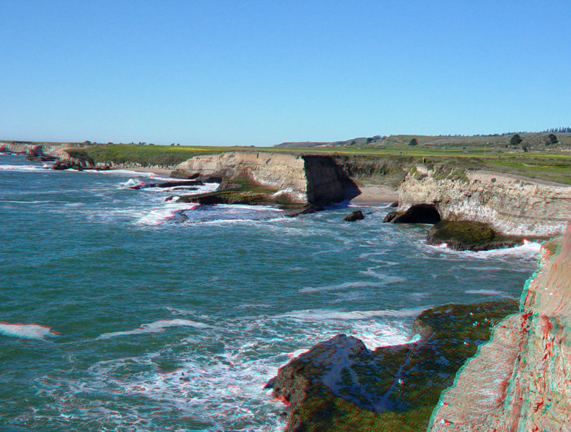
Looking north along the coast along the Old Cove Landing Trail.
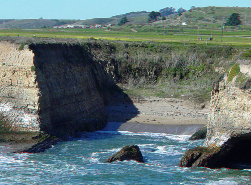
A small cove along the Old Cove Landing Trail. The flat field extending to the distance is the Highway One Terrace. This terrace formed more than 100,000 years ago during one of the major interglacial periods prior to the last great ice age of the Pleistocene Epoch. The distant hill represents another elevated terrace that formed even earlier in the Pleistocene Epoch. The dating of terraces helps to confirm that the Santa Cruz Mountains are gradually rising at a rate of about 0.6 mm per year.
The coast along the Old Cove Landing Trail.
Sea cliffs at Wilder Ranch.