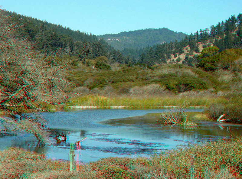
WaddellCreek.jpg
View looking upstream from the Highway 1 bridge over Waddell Creek. The Skyline-To-The-Sea Trail basically follows Waddell Creek for much of the western extent of the trail. The eastern end of the trail starts at the giant redwoods grove area of Big Basin State Park.
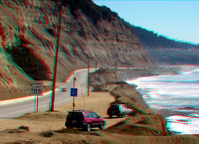
One of the high-maintenance sections of Highway 1 in Santa Cruz County is along this sea cliff (road cut) between Waddell Creek and Año Nuevo State Park. Prior to Highway 1, a short-lived, coastal railroad line went through this cut. The high cliff consists of Santa Cruz Mudstone (Miocene). CalTrans is constantly adding fill and riprap to the ocean side of the road.
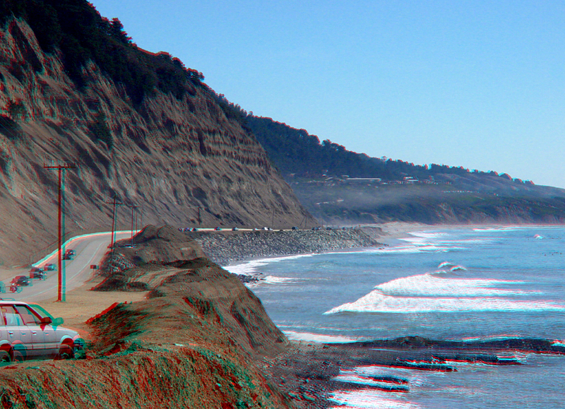
The Waddell Creek road cut area. Año Nuevo Bay is to the right.