StevensCreek.jpg
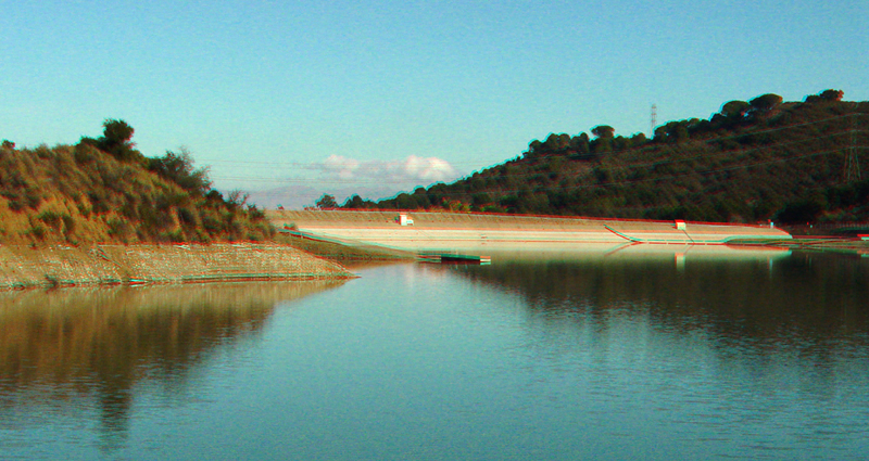
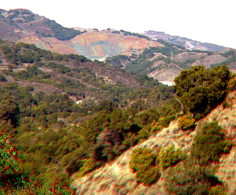
Stevens Creek Reservoir was constructed in 1935 as part of the Santa Clara County Water District reservoir and groundwater management system. At 92 acres, it is one of the small reservoirs in the system. The reservoir is within Stevens Creek Park and is adjacent to the Fremont-Older Open Space. The barren banks, cuts, and slopes around the reservoir and dam consists of Pliocene to early Quaternary Santa Clara Formation. This poorly consolidated formation consists gravel and sand deposited in streams along an alluvial fan system. Ongoing uplift given theses deposits a steep-dipping orientation around the reservoir.
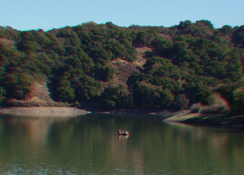
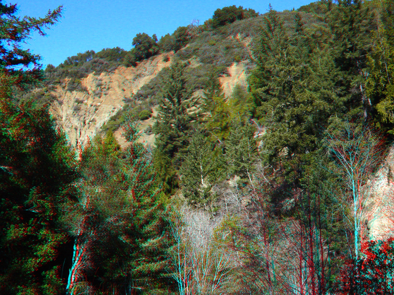
Stevens Creek Reservoir. The hillsides on the south side of the reservoir are part of the Fremont-Older Open Space.
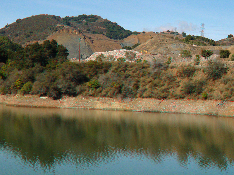
A large quarry is on the north side of Stevens Creek Reservoir along Permanente Creek. The quarry has been in operation for nearly 60 years and claims to supply about one-third of Northern California's cement. Hanson purchased the plant from Kaiser in 1987.
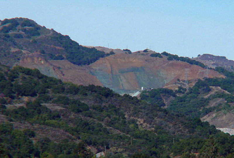
Another view of the upper part of the Permanente Creek limestone quarry. The gray limestone is a middle Cretaceous in age deposited as lime mud on top of an ancient undersea volcano (about 95 to 110 million years ago). This volcano gradually moved from far to the south in the Pacific Ocean and became attached and exposed in the Santa Cruz Mountains by the gradual processes associated with plate tectonics.
StevensCreek5.jpg
Another view of the Permanente Creek quarry from along Mt. Eden Road looking north across the valley of Stevens Creek
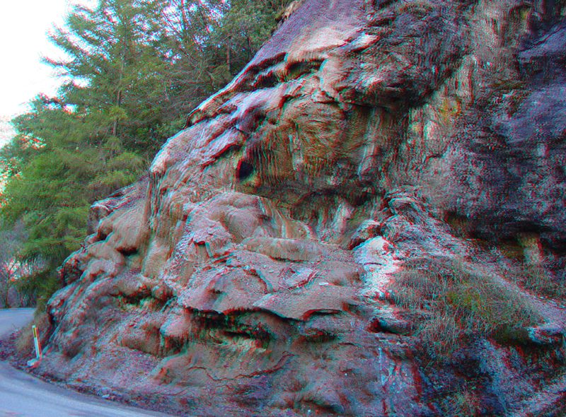
This massive spring deposits is along Stevens Canyon Road about one mile west of the reservoir.
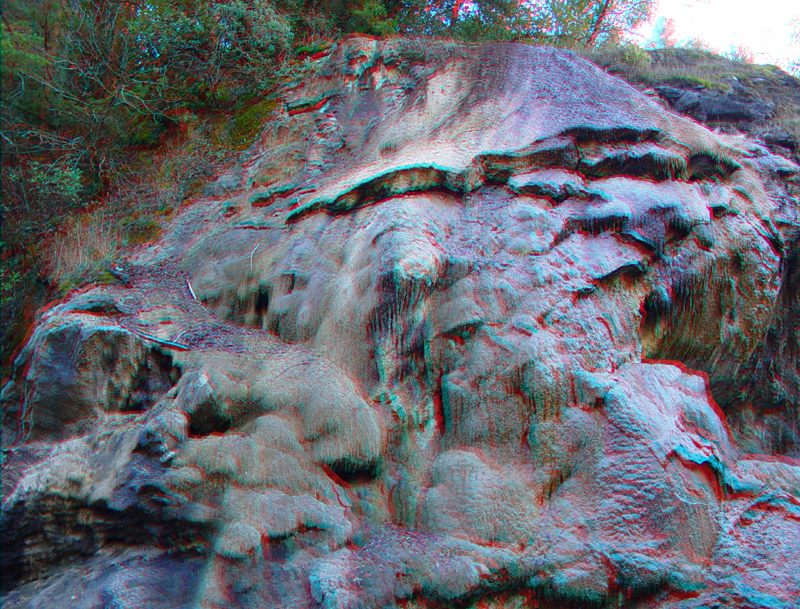
Calcium carbonated precipitated from the spring deposits layers of travertine. The color in the rock comes from minerals and algae growing on the wet rock.
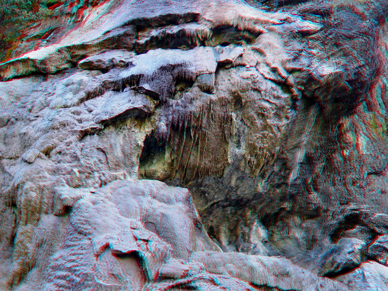
Cavern-like speleothems are forming on the travertine deposits, even though it is exposed at the surface.
A landslide area in weathered serpentinite is located just east of the trace of the San Andreas Fault. This locality is along the Stevens Canyon Trail about one-quarter mile beyond the end of Stevens Creek Road.