SanPabloBay.jpg
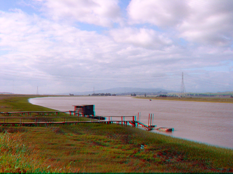
Broad tidal marshes line the Petaluma River near it drains into San Pablo Bay. The area is part of a sinking basin beneath much of North Bay. However, as the marshes demonstrate, infilling of the bay with sediments is basically keeping pace with the development of the basin and the even faster rate of sea level rise over the past 15,000 years since the end of the last ice age.
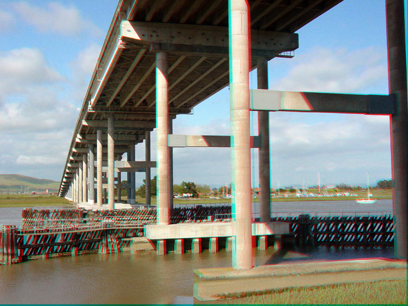
The Black Point Bridge on CA Highway 37 crosses the Petaluma River just north of where it enters San Pablo Bay.