PebbleBeach1.jpg
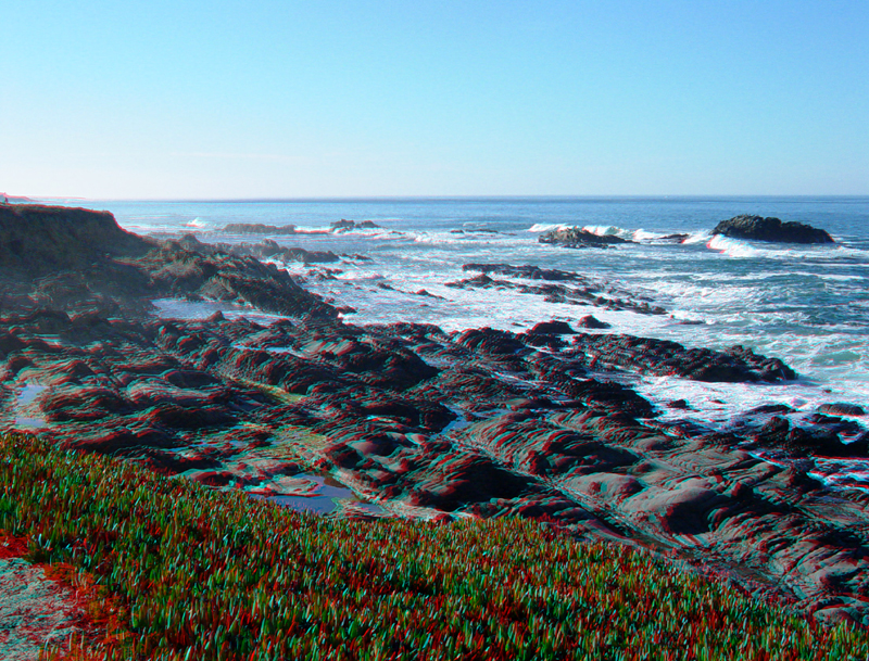
Pebble Beach is a roadside park along Highway 1 located about midway between Pigeon Point and Pescadero in San Mateo County. Looking south from the coast trail at Pebble Beach, you can see this irregular erosion pattern in the sandstone and conglomerate beds of the Pigeon Point Formation (Cretaceous). This erosion create space for numerous tide pools. The invasive ground cover, ice plant, covers much of the coastal bluffs.
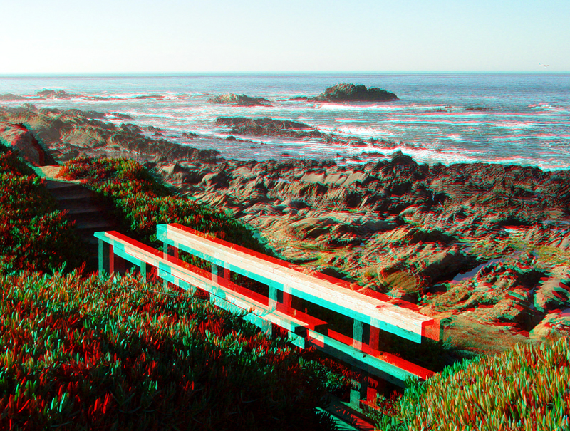
This bridge is along the coast trail north of the Pebble Beach parking area.
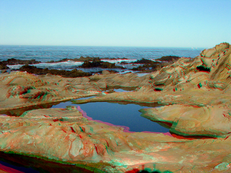
The mirror-like surface of this tide pool reveals the nearly perfect weather conditions typical of Fall along the San Mateo coast.
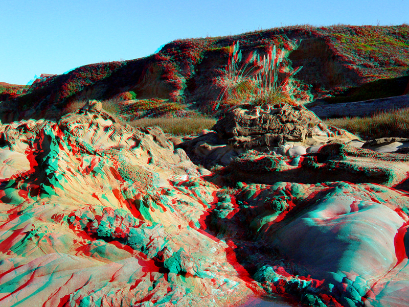
Heavy storm waves erode the soft alluvial sediments exposed in the upper surf zone. . Weathering creates a honeycomb-like surface texture on the sandstone (called tafoni) in the underlying sandstone bedrock of Pigeon Point Formation.
PebbleBeach5.jpg
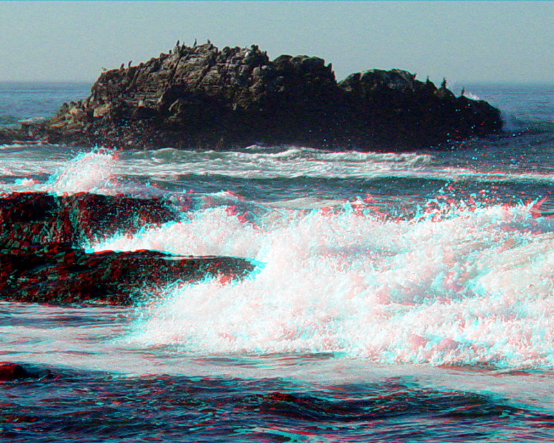
Birds cover a sea stack at Pebble Beach.
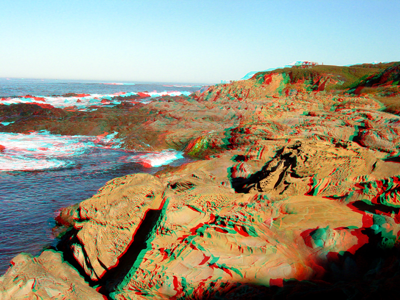
Shore outcrops of sandstone in the Pigeon Point Formation show tafoni-style weathering patterns. Beds of conglomerate along this section of the coast are rich in black chert pebbles, and are the source of the pebbles on Pebble Beach.
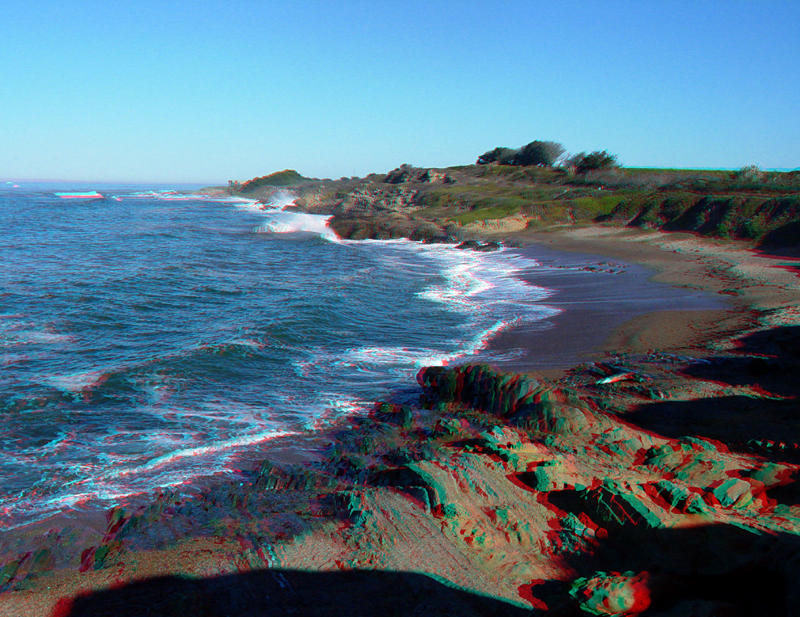
Pebble Beach is a small cove where pebbles and sand accumulate and vanish continuously. Steeply-dipping sandstone, shale, and conglomerate beds exposed along Pebble Beach formed from sediments deposited on submarine fans in a region beyond the continental shelf probably around 80 to 70 million years ago (in the Late Cretaceous).