PanocheHills.jpg
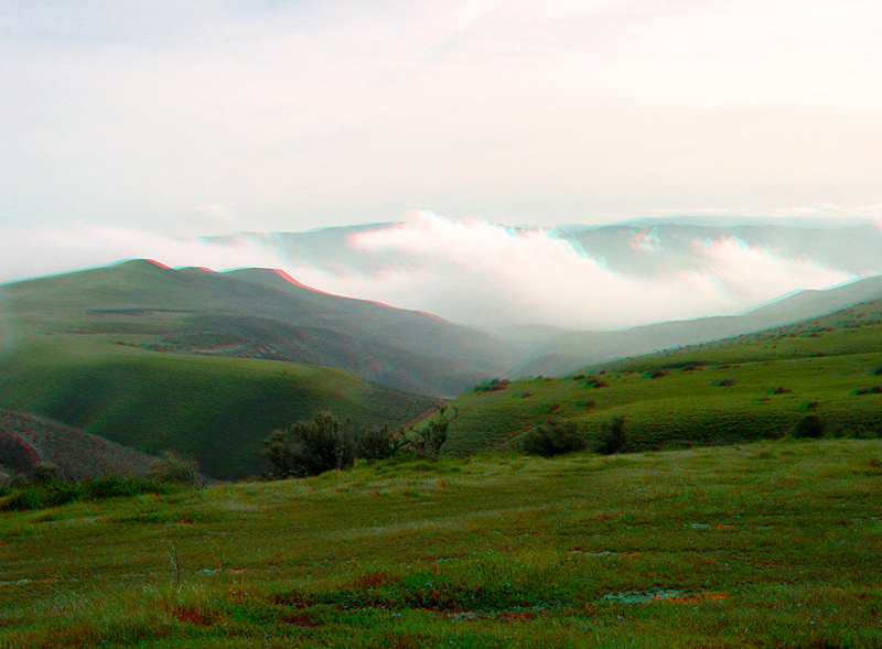
The Panoche Hills are located in the western corner of Fresno County along the east side of the Diablo Range. This view is looking north along Right Angle Canyon into the more distant fog-filled valley of Panoche Creek.
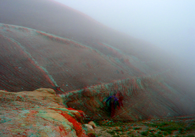
A foggy view of a light-colored sandstone ledge. Vertical clastic dikes (fractures filled with sand) injected upward into the gray shale of the Moreno Formation, one of the Late Cretaceous sedimentary rock formations of the Great Valley Sequence. They were subsequently exposed by differential erosion here near the top of Right Angle Canyon.

The Tume Hills area is an area of eroding hills of Miocene age marine sediments exposed along the south side of Panoche Creek. Panoche Road (in the foreground) is an unpaved road that connects to Interstate 5.
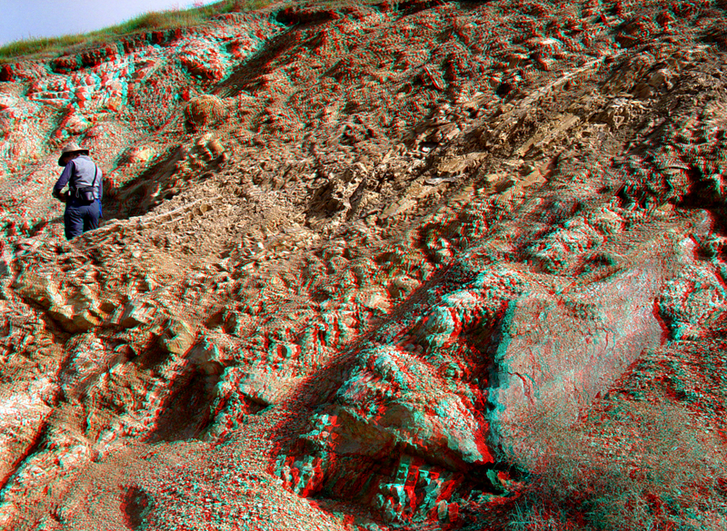
This road cut along Panoche Road consists of Late Cretaceous marine mudrocks with numerous sandstone clastic dikes.
PanocheHills5.jpg
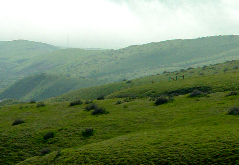
The grassy slopes of upper Escarpado Canyon in the Panoche Hills.
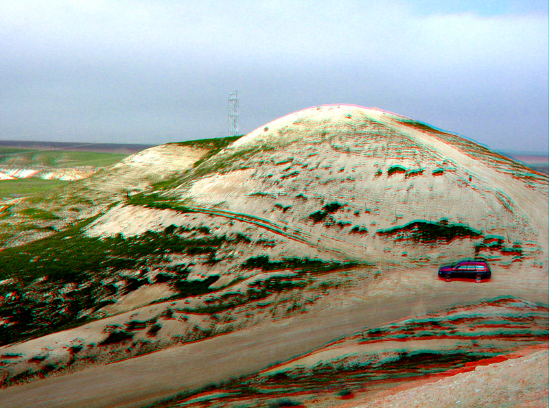
The Tume Hills Recreational Area are located along Panoche Creek valley.