NapaValley1.jpg
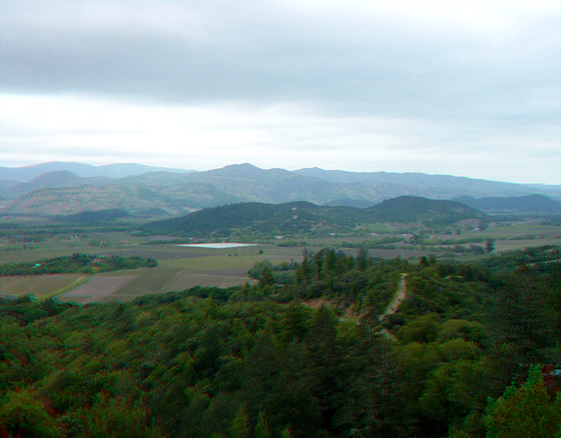
An undeveloped roadside overlook along Oakville Road affords views of the vineyards in central Napa Valley. To the east, the Yountville Hills are the low hills beyond the vineyards. The highlands along the eastern side of Napa Valley are part of the southeastern Clear Lake-Sonoma volcanic field. It formed from lava and ash eruptions along the developing San Andreas Fault system in the late Tertiary (roughly between 8 to 2 million years ago). The region still is experiencing geothermal heating, possibly best represented by the hot springs in the Callistoga area at the north end of Napa Valley.
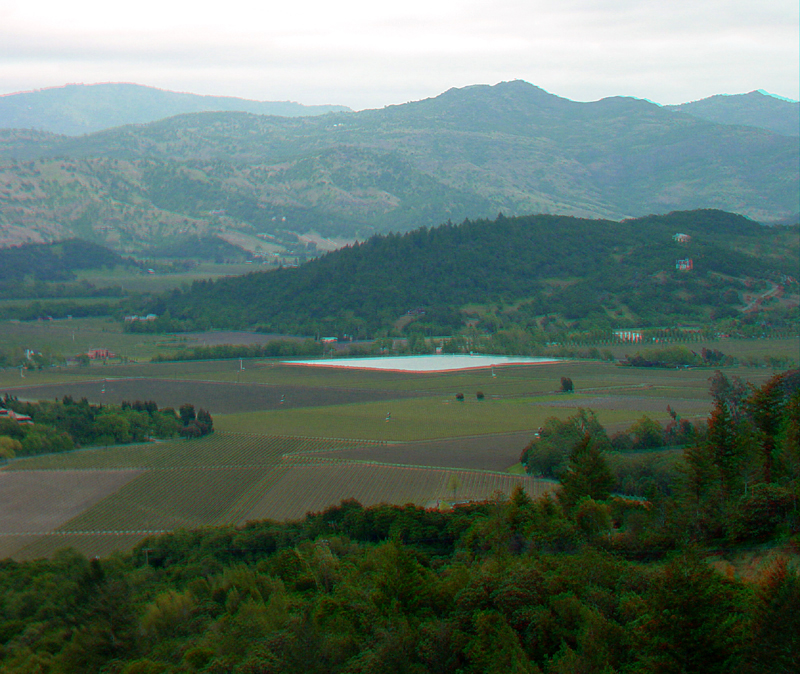
High peaks in the range east of Napa Valley include Haystack Mountain (1,672 feet), the high peak visible in the center, and the higher, more distant Atlas Peak (2663 feet) is on the left.