MusselRock.jpg
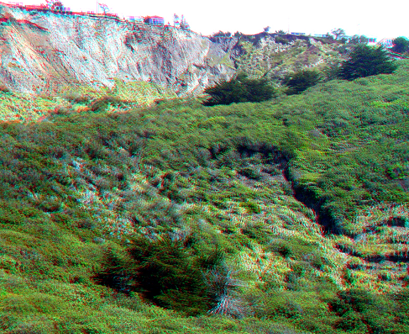
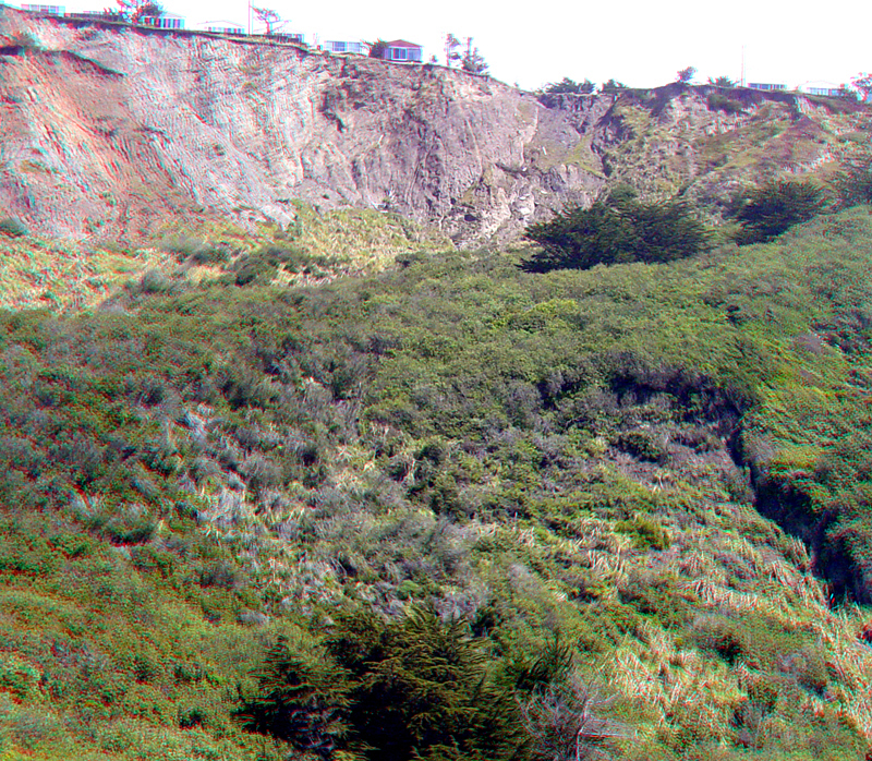
Mussel Rock Park is a nature preserve that encompasses several very large and active landslides along the San Mateo County coast. The massive landslide deposits mask the trace of the San Andreas Fault here, where it runs offshore into the Pacific Ocean beyond San Francisco's Golden Gate. The high bluff along the skyline in this image has been a site of disaster for homeowners as the sea cliff continues its natural collapse and retreat due to erosion and mass wasting. A smaller landslide in the foreground is forming on top of a more massive landslide that extends uphill to the base of the escarpment.
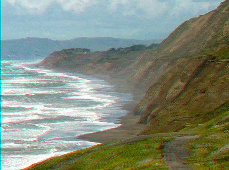
This view is looking north along the coast from Mussel Rock Park toward the eroding sea cliffs Thornton State Beach and Fort Funston (part of Golden Gate National Recreation Area). The sea cliffs consist of poorly consolidated sandstone, mudstone and shale of the Merced Formation of Quaternary age. Highlands of Marin County are in the distance.
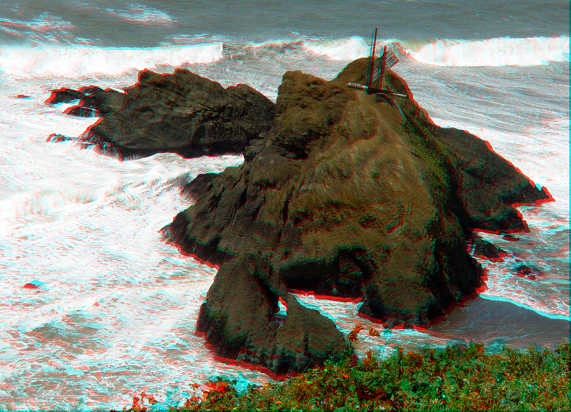
Looking down onto Mussel Rock. Mussel Rock consist of Mesozoic-age greenstone (altered seafloor basalt) of the Franciscan Complex.
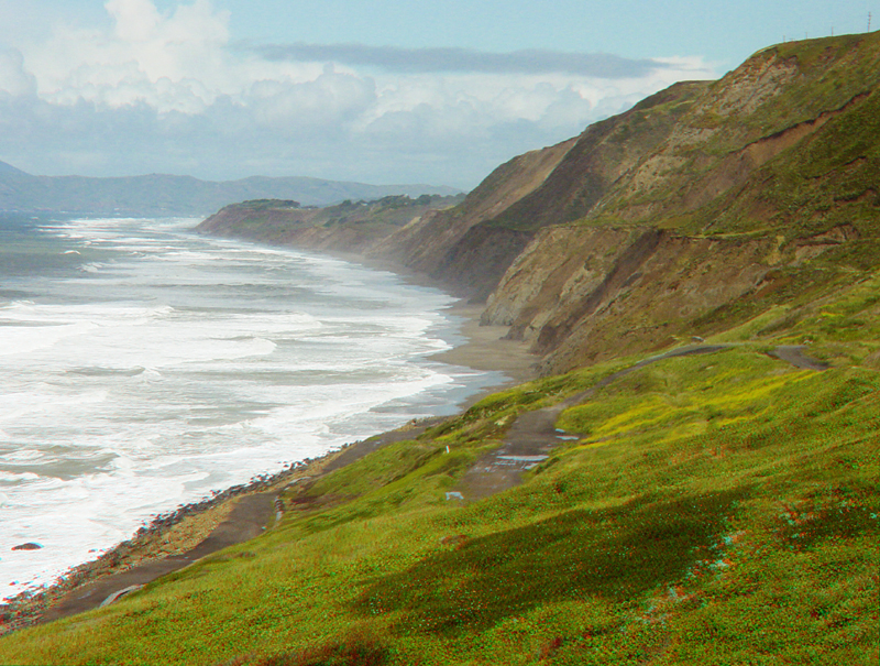
The entire green slope in the foreground is part of the massive landslide complex at Mussel Rock Park. Thornton State Beach is to the north in the distance.
MusselRock5.jpg
The massive landslide and escarpment at Mussel Rock Park.