MtTamalpais.jpg
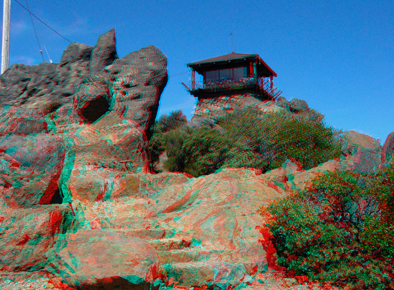
The Gardner Lookout is on the summit of the East Peak (2,571 feet) on Mt. Tamalpais consists of numerous outcrops of graywacke sandstone (Mesozoic-age Franciscan Complex).
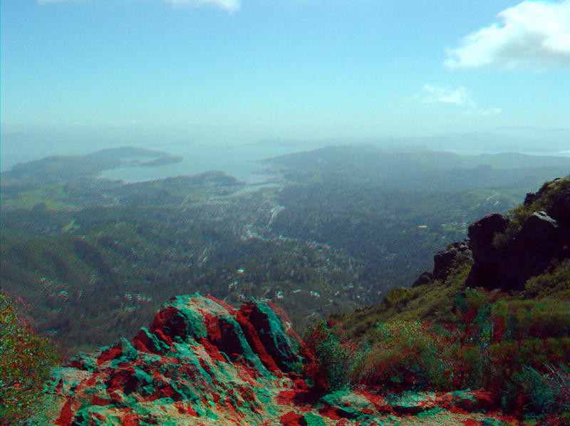
From the East Peak looking southeast toward Richardson Bay, the Marin Peninsula can be seen on the right and Tiburon Peninsula is on the left.
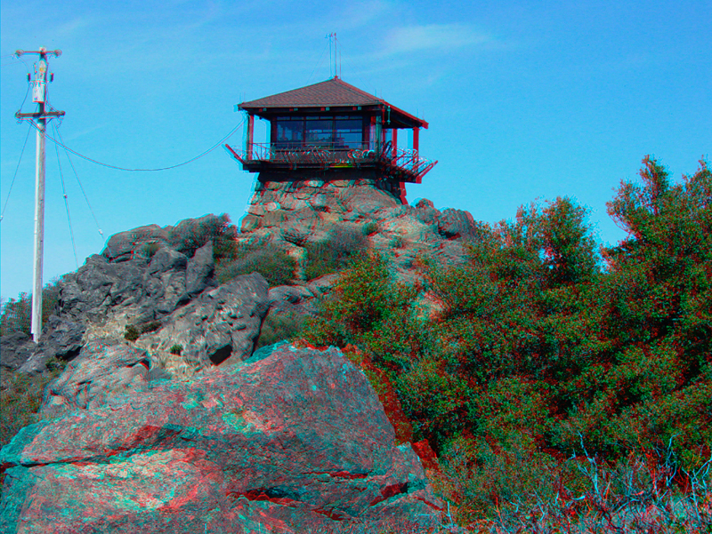
The Gardner Lookout on top of East Peak on Mt. Tamalpais.
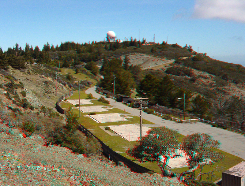
A round antenna dome is on the summit of West Peak (2,560 feet), historic ruins of a military reservation on Mt. Tamalpais are in the foreground.
MtTamalpais5.jpg
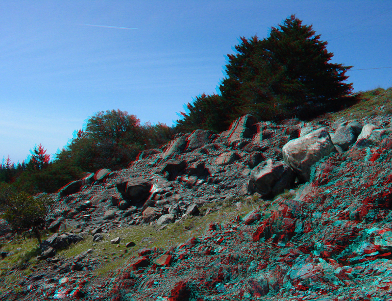
A blocky slope of serpentinite is part of an excavation on the historic military reservation site on Mt. Tamalpais' West Peak.
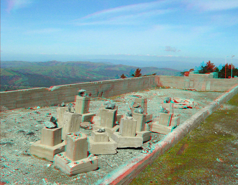
In one of the ruins of the military reservation on West Peak is this collection of cement pedestals, each capped with a block of local serpentinite. The mostly undeveloped coastal highlands of northern Marin County is in the distance.