MtHamilton.jpg
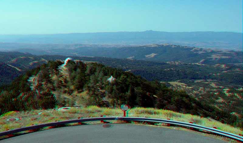
The Calaveras rift valley at Joseph D. Grant County Park is visible from the west end of the Lick Observatory parking area. The southern Santa Cruz Mountains are in the distance.
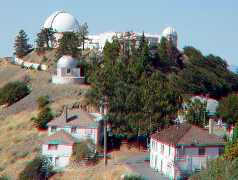
Looking west from the 120 Inch Telescope area toward the historic Lick Observatory.
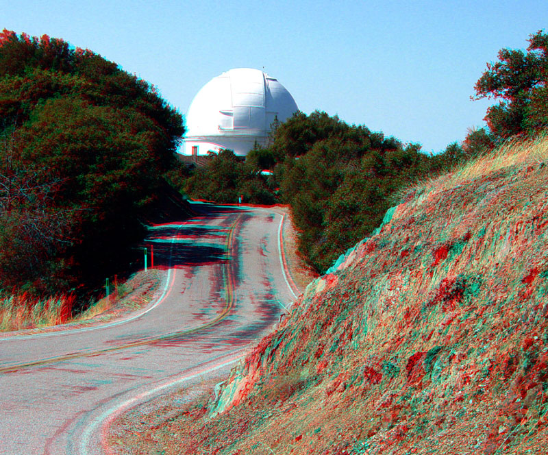
Looking west toward the 120 Inch Telescope along the San Antonio Valley Road. Mesozoic age graywacke sandstone and shale crops out throughout the Mt. Hamilton summit area.
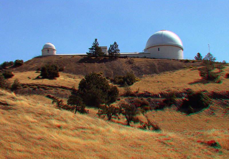
This shot looking east at the Lick Observatory was taken along the Mt. Hamilton Road.
MtHamilton5.jpg
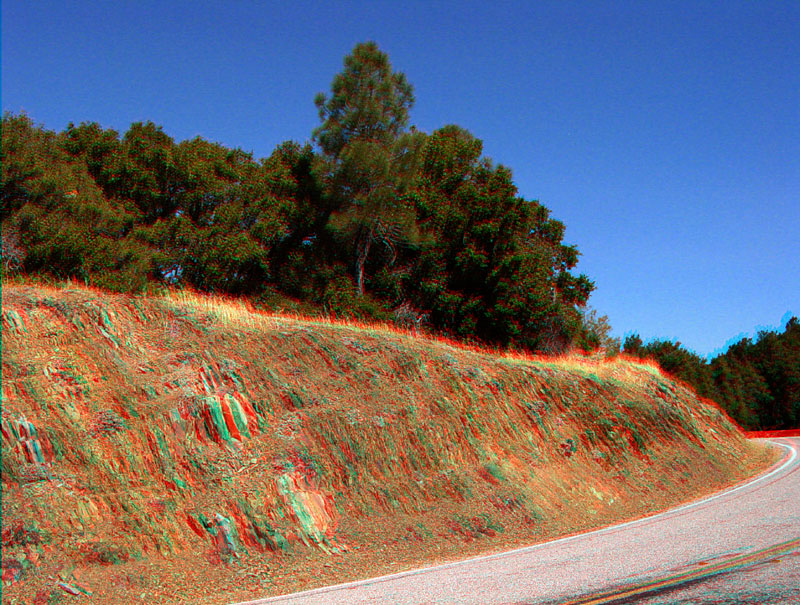
These steeply dipping graywacke sandstone and shale beds are along the San Antonio Valley Road just east of the Mt. Hamilton summit area.
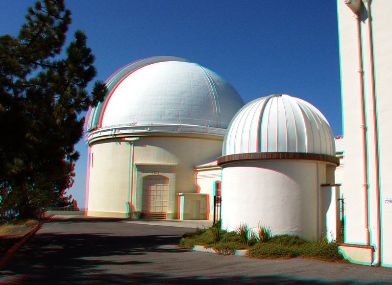
The historic Lick Observatory (left) with a smaller telescope.
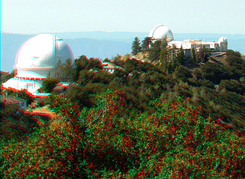
The Mt. Hamilton summit area includes the 120 Inch Telescope on the left and the Lick Observatory and Museum on the right.