MtDiablo.jpg
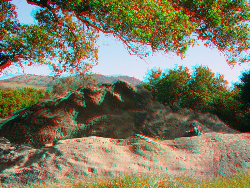
Large outcrops and boulders of Domengine Sandstone (Eocene;
58 to 37 million years old) can be seen in the Rock City area along the
Mt. Diablo South Gate Road. The Mt. Diablo's summit is visible in the
distance.
A massive sandstone boulder in the Rock City area.
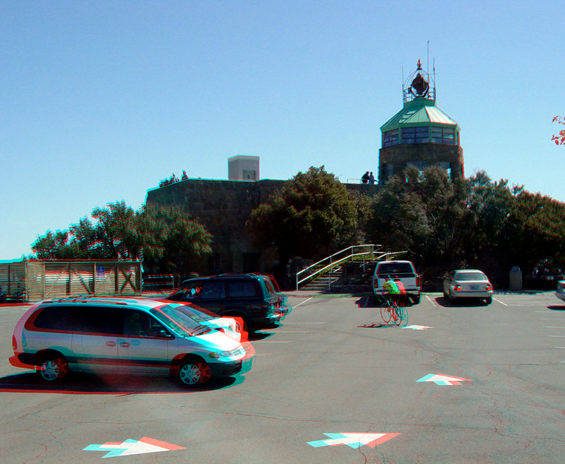
The Mt. Diablo's summit elevation is 3,849 feet. The Visitor Center has an observation deck and a museum.
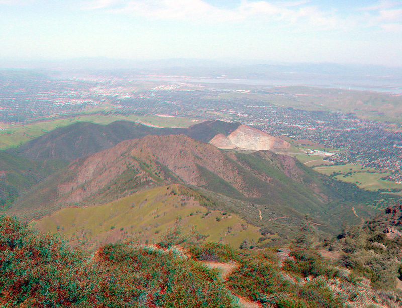
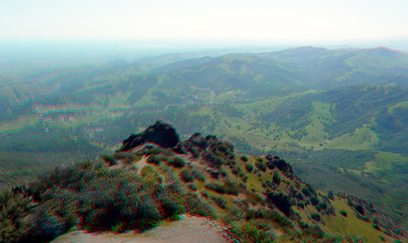
This view from the summit is looking toward the northwest overlooking Eagle Peak (a game refuge) and Mt. Zion (with a massive quarry on its north end). Suisin Bay is in the distance.
MtDiablo5.jpg
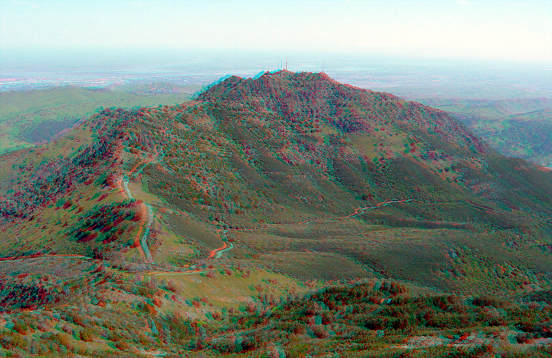
North Peak, as seen from the Mt. Diablo's Summit.
These rocky spurs are on the southeast side of Mt. Diablo's summit. The crest of the Diablo Range in the distance.
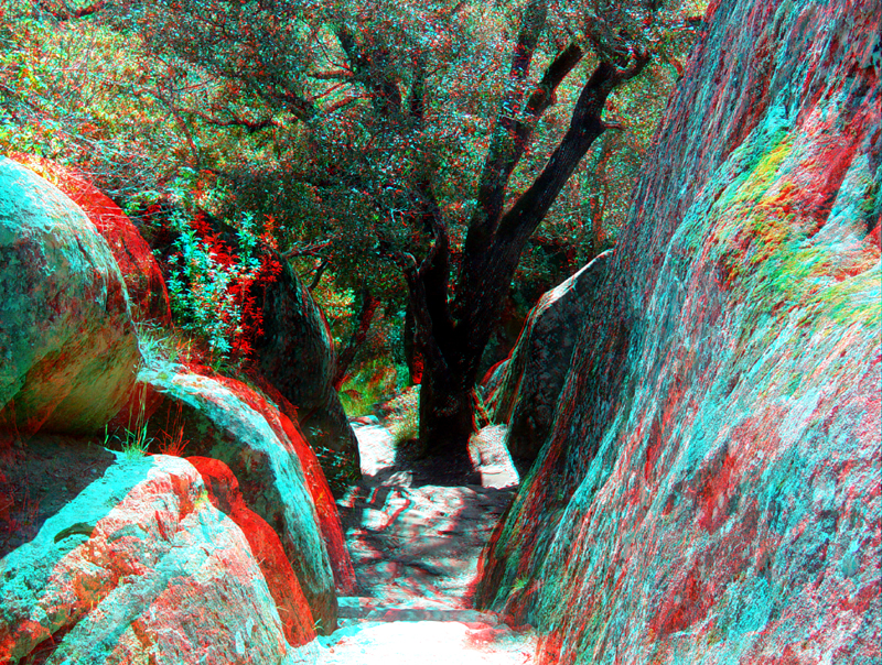
A trail follows a weathering joint (a rock fracture) in the sandstone in the Rock City area.
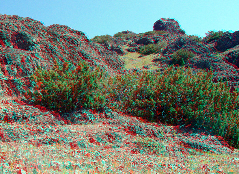
These massive outcrops of serpentinite are found along the North Peak Trail not far from the trailhead on the Summit Road.
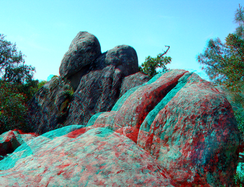
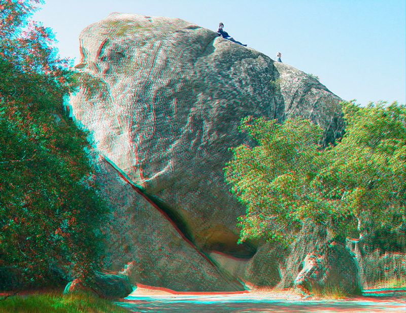
A view of boulders in the Rock City area.
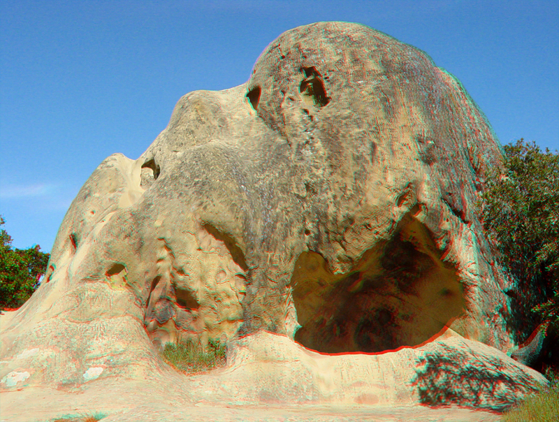
A small cave in a sandstone outcrop in the Rock City area.