MonteBello.jpg
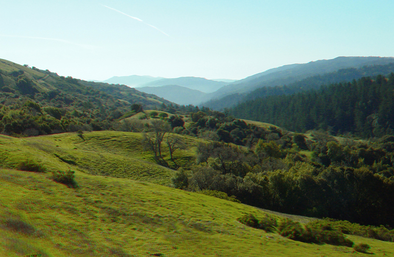
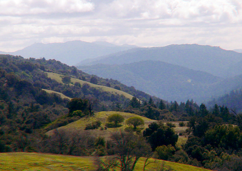
The straight valley of Upper Stevens Creek is also the rift valley of the San Andreas Fault. The upland area on the left is Black Mountain, Skyline Ridge is to the right. In the far distance to the south are Mt. Umunhum, and the more distant Loma Prieta. The grassy hills in the foreground are underlain by poorly consolidated alluvial gravels of Quaternary age. The location of the San Andreas Fault is indicated by the change in grass, on the west, to forests on the east (visible on the left side of the image). However, the structure of the fault system in this area may be much more complex.
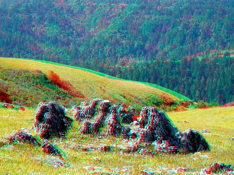
Upper Steven Creek Canyon. With increasing distance beyond Black Mountain (left) is the low ridge of Table Mountain (Saratoga Gap area), the higher center peak - Mt. Umunhum, and barely visible in the upper left, Loma Prieta Peak.
This view is from Indian Creek Trail on Black Mountain is looking south along Upper Stevens Creek valley. The linear character of the valley owes it origin to erosion along the trace of the San Andreas Fault.
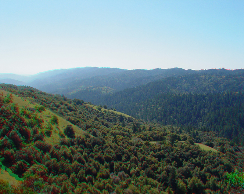
Undulating hills and ravines along Upper Stevens Creek Valley are a result of pressure ridges, pull-apart (sag) basins, and shutter ridges along the San Andreas Fault.
MonteBello5.jpg
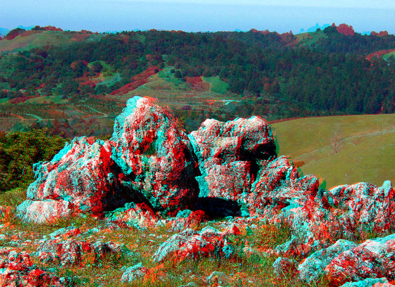
Cretaceous-age limestone outcrops near the summit of Black Mountain weather and erode into unusual shapes. This type of landscape development is also associated with cavern development and is called karst.
Karst-weathering features on limestone outcrops on Black Mountain. Please note that this area is prime rattlesnake habitat.
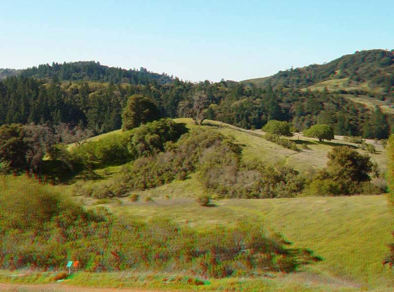
More limestone outcrops with karst-style weathering and erosion features on Black Mountain. Upper Stevens Creek valley is to the west in the background.
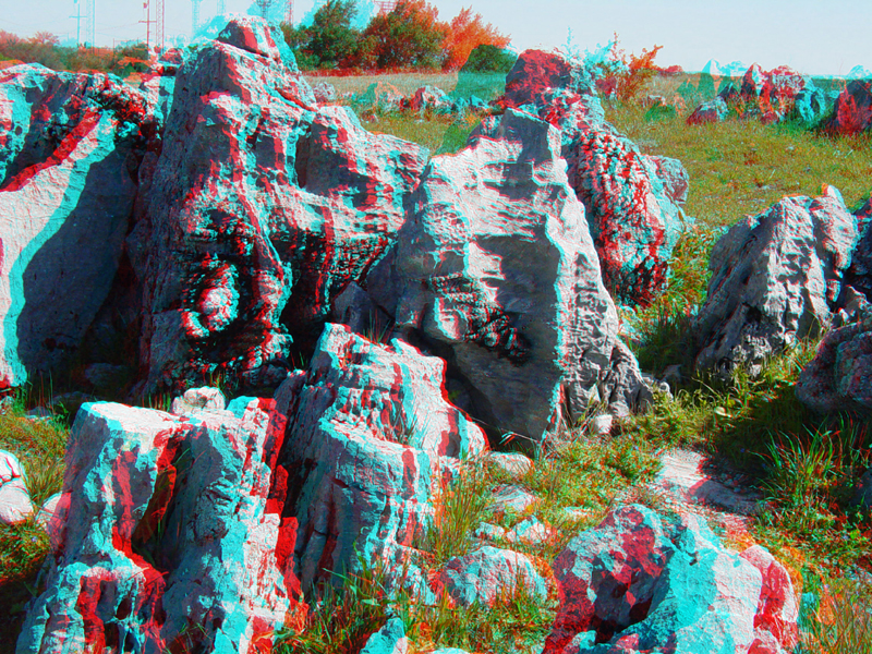
Limestone outcrops on Black Mountain.
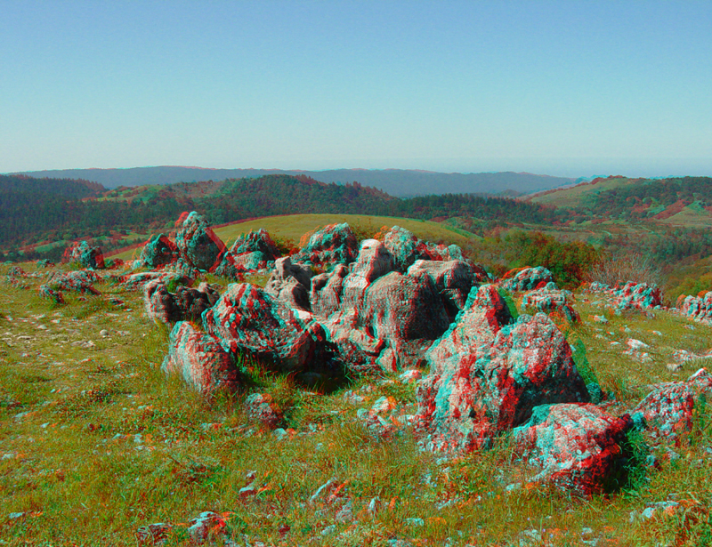
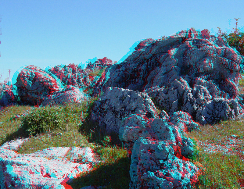
Limestone outcrops on the summit of Black Mountain with a view toward the north. Note the nearly flat horizon line of the northern Santa Cruz Mountains. Miocene-age marine fossils in the creek beds in this region reveal the the Santa Cruz Mountains are relatively young (only a few million since the land rose above sea level).
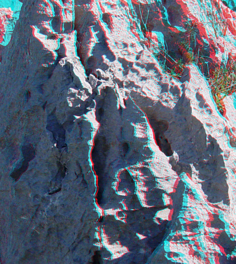
Karst weathering and erosion features in the limestone on Black Mountain.
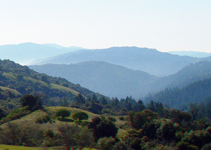
View looking south along Upper Stevens Creek valley displaying the varied topography associated with the complex arrangement of faults in this section of the San Andreas Rift Valley.
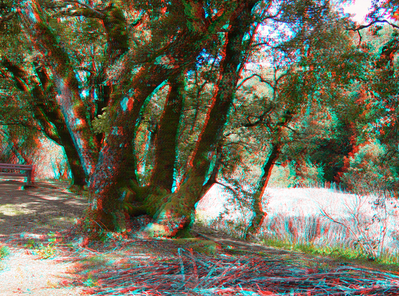
Oak trees grow on a ridge adjacent to a sag pond along the Canyon Trail in the Monte Bello Open Space Preserve. This sag pond is along a section of the San Andreas Fault that experience surface rupture during the 1906 earthquake.
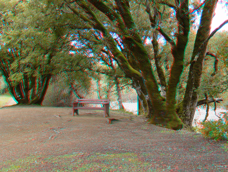
A bench along the Canyon Trail provides a shady resting place despite its proximity to the San Andreas Fault. The sag pond is on the right.
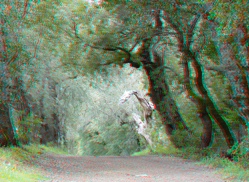
The Canyon Trail basically follows the trace of the San Andreas Fault between Page Mill Road and Stevens Canyon Road.
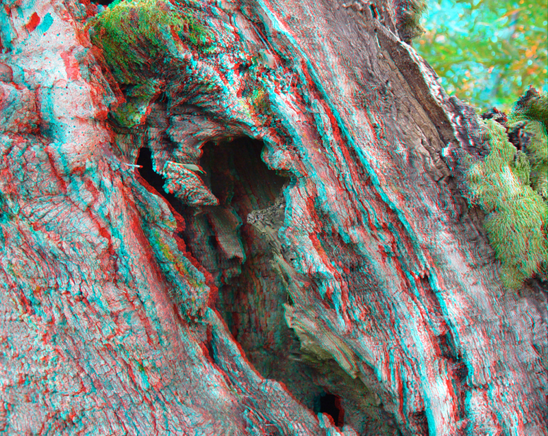
A hollow in an oak tree along the Canyon Trail.