MissionPeak.jpg
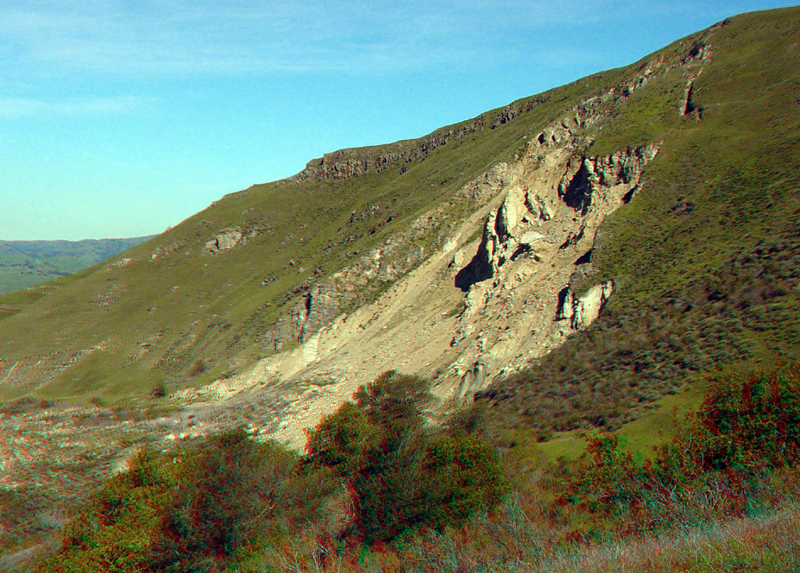
The massive Mission Peak landslide is visible from much of the South Bay region. Giant hillslope fissures and ongoing movement of this massive landslide area pose a potential hazard to homes in the valley below, on the eastern outskirts of the city of Fremont.
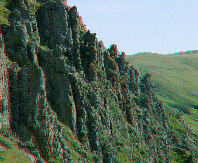
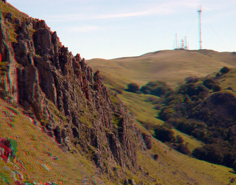
Vertical layers of sandstone form a hogback ridge along the eastern side of Mission Peak summit in the preserve.
Outcrops of steeply dipping sandstone stand out in contrast to the grassy upland area on the south side of Mission Peak.
Ledge-forming sandstone layers on the south side of Mission Peak.
MissionPeak5.jpg
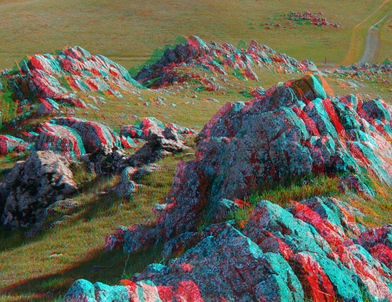
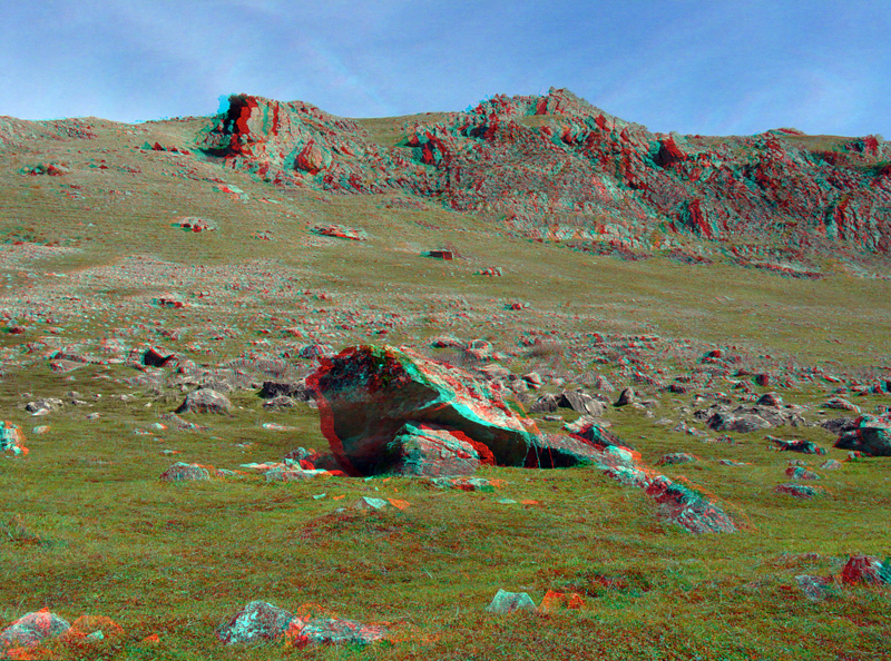
Large blocks of stone litter a broad talus slope along the base of the hogbacks on the east side of Mission Peak in the Hidden Valley area.
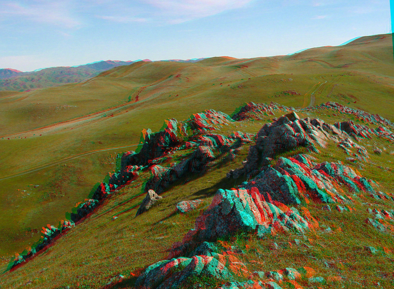
The sandstone hogback on the south side of Mission Peak.
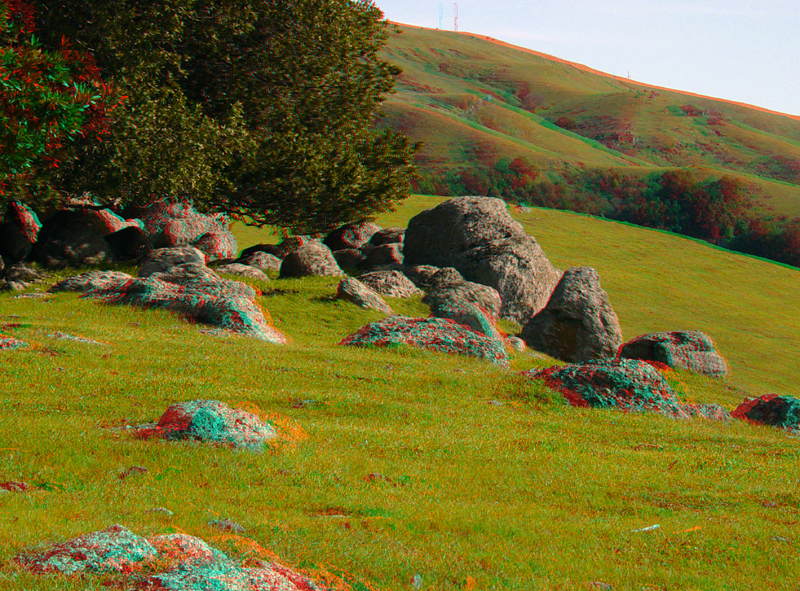
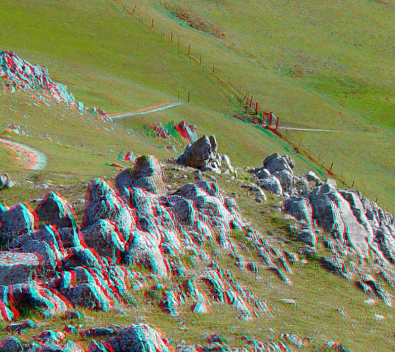
Sandstone boulders, grassy fields, and a grove of bay laurel trees along the Hidden Valley Trail in the preserve.
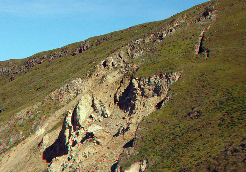
The upper part of the Mission Peak slide.
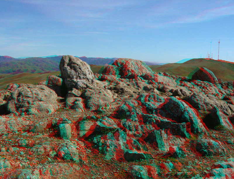
Barren rocky outcrops at the summit of Mission Peak. A radio tower marks the top of nearby Mt. Allison.
The sandstone hogback ridge on Mission Peak with Hidden Valley to the right, and the radio tower on Mt. Allison in the distance.
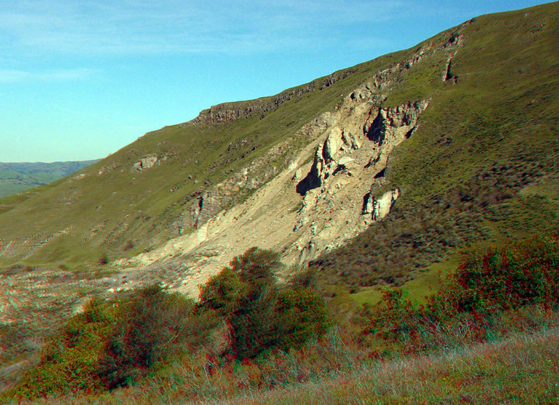
The Mission Peak Landslide.
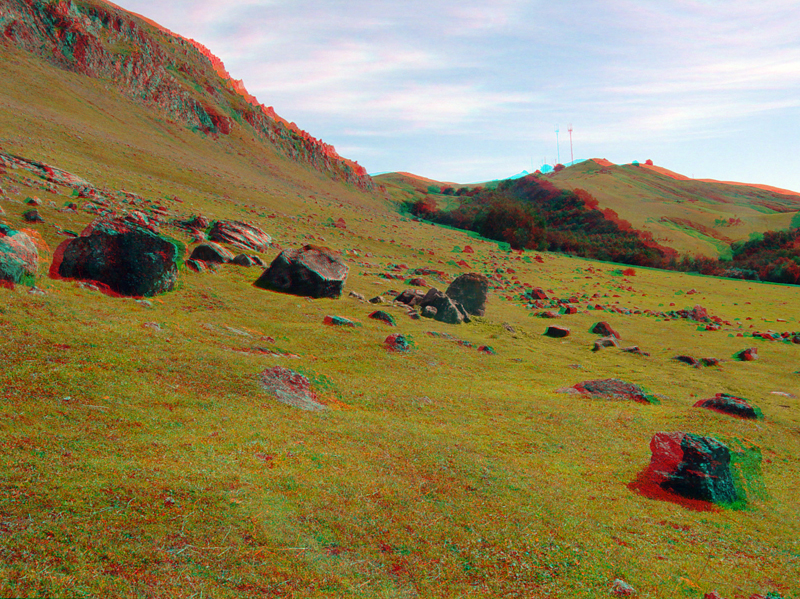
Part of the talus slope in Hidden Valley (on the southwest side of Mission Peak).