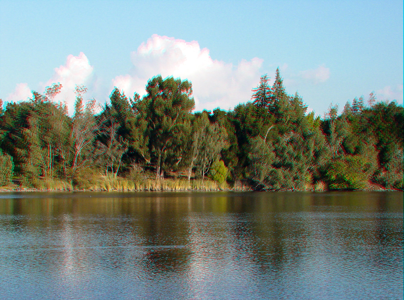
LosGatos1.jpg
Vasona Reservoir in Los Gatos, CA is part of the Santa Clara County Water District water management system.
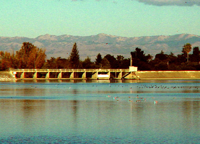
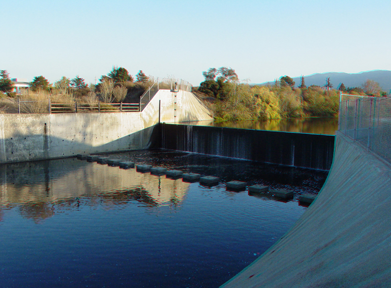
Spillway on Vasona Reservoir along Los Gatos Creek. The Diablo Range is in the distance.
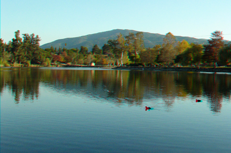
Vasona Reservoir with El Sombroso in the distance. El Sombroso is a peak in the Sierra Azul Open Space Preserve.
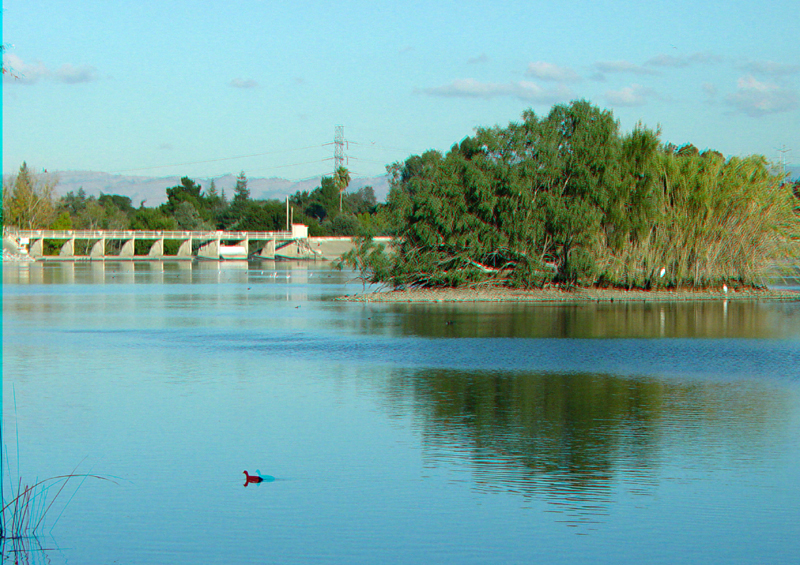
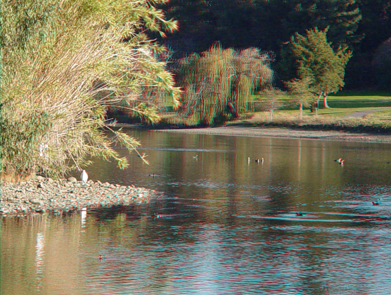
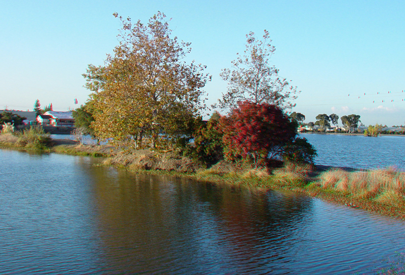
A small island in Vasona Reservoir is a haven for birds.
LosGatos5.jpg
Egrets on a small island in Vasona Reservoir.
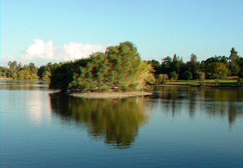
Reflections of a small island on Vasona Reservoir.
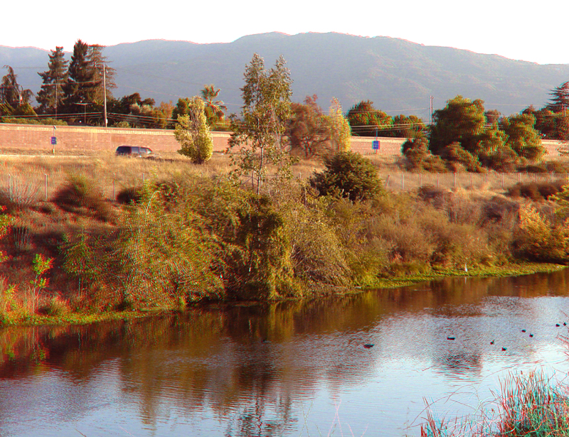
Reflections on a percolation pond (for groundwater recharge) along the Los Gatos Creek managed creek system. This pond is about a mile south of downtown Campbell. El Sombroso peak in the Sierra Azul Open Space Preserve is in the distance.
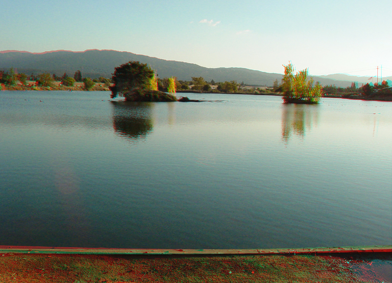
A percolation pond along the Los Gatos Creek managed stream system. Los Gatos Creek Canyon is in the distance on the right (south of the town of Los Gatos)
Los Gatos Creek in its artificial channel. Highway 17 is just beyond the creek. El Sombroso peak is in the distance.
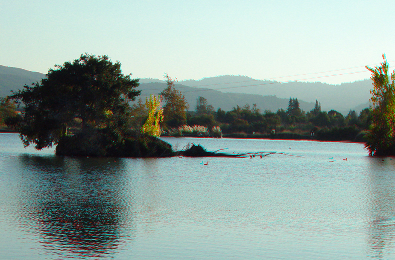
A divide between percolation ponds in Los Gatos Creek Park in Campbell,
CA.
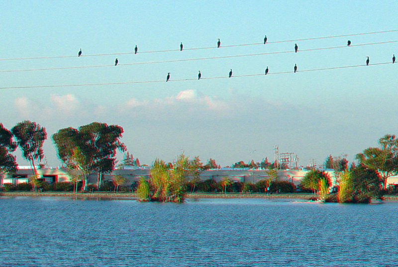
Cormorants sit on power lines above a percolation pond in Los Gatos Creek Park.
A flood control impoundment along Los Gatos Creek in Los Gatos Creek Park in Campbell, CA.
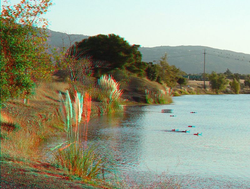
Shoreline of a percolation pond in Los Gatos Creek Park.
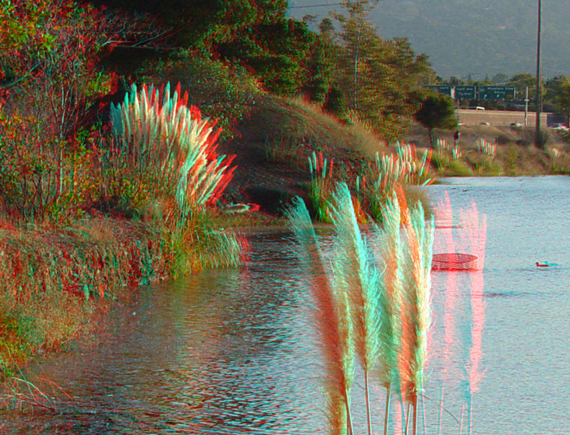
Shoreline of a percolation pond in Los Gatos Creek Park.