LongRidge.jpg
Moss-covered oak trees in the Long Ridge Open Space. Skyline Ridge is a long ridge that extends along the crest of the Santa Cruz Mountains from about Highway 92 in the north, to Highway 17 in the south, the long straight ridge is the route of along Skyline Boulevard (Highway 35). Swales in the Skyline Ridge give rise to local names along the longer linear ridge, including Russian Ridge and Long Ridge.
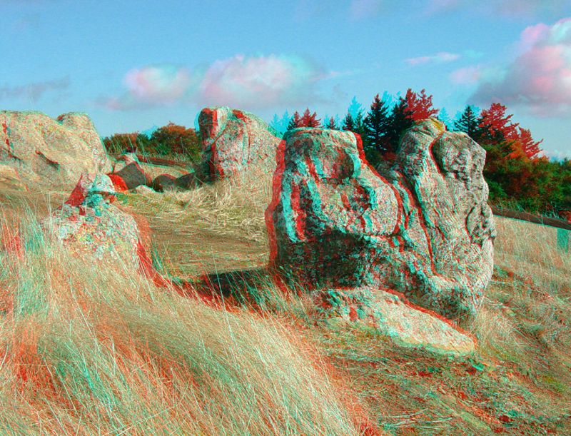
Outcrops of Tertiary-age sandstone crop out along Long Ridge and along Highway 35. These blocks are along the Long Ridge Trail.
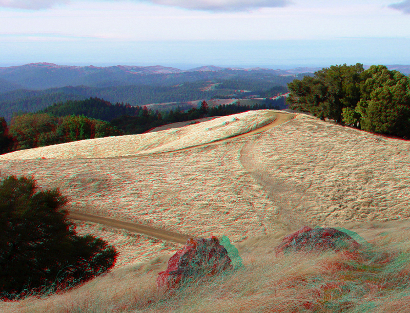
Looking north along the Long Ridge Trail showing the "bald" grassy areas along the ridge. The northern Santa Cruz Mountains are in the distance.
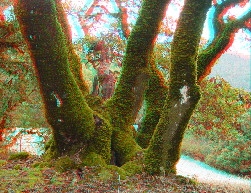
Moss-covered trees on Long Ridge.
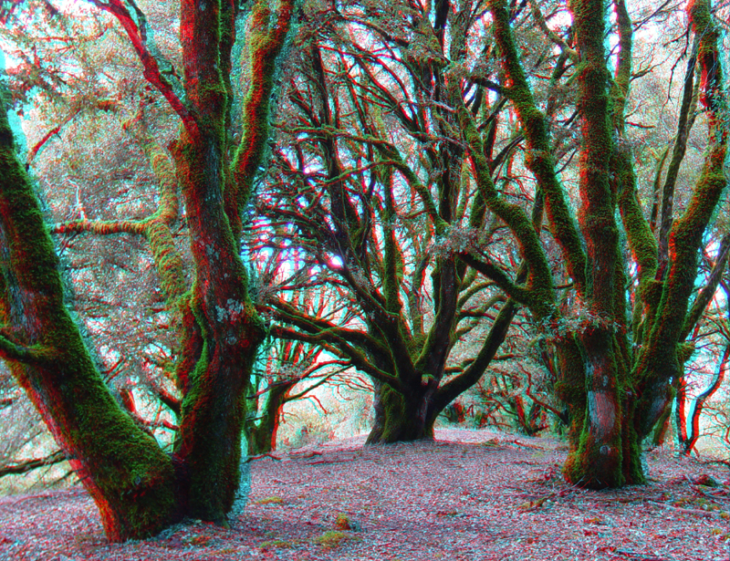
LongRidge5.jpg
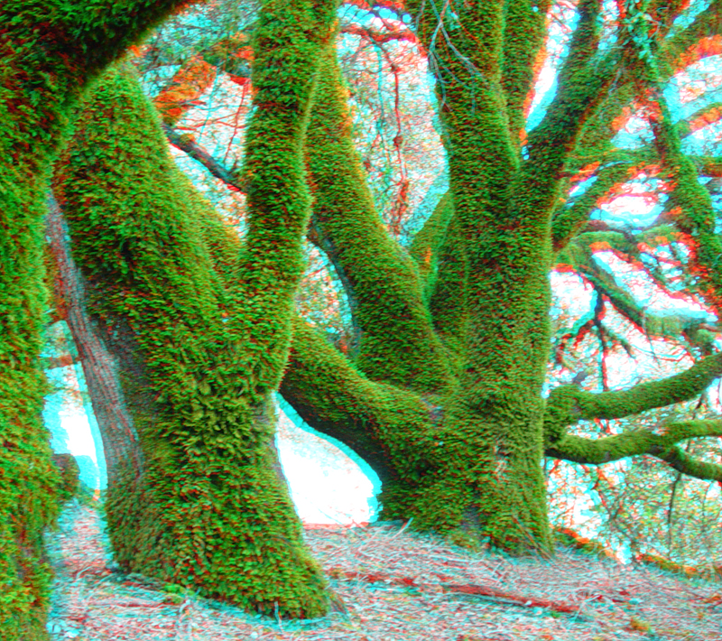
A grove of moss-covered trees on Long Ridge.
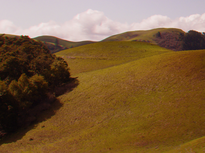
Russian Ridge is a continuation of linear crest of the Santa Cruz Mountains along Skyline Boulevard (Highway 35). Russian ridge is just north of Long Ridge. Much of the crest of the northern Santa Cruz mountains are coastal alpine meadows (called balds). These areas experience weather extremes ranging from hot and dry period to being bathed in dense coastal fog. "Forest rains" occur when fog precipitates on the leaves and branches of the mixed coniferous and hardwood forest that surround the bald areas. This view is looking west along Highway 35.