LomaPrieta.jpg
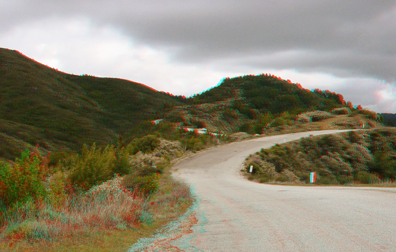
Road bends in a ridge-top saddle area along Summit Avenue on the southwestern side of Loma Prieta Peak (near the intersection of Summit-Mt. Madonna Road). The valley on the left side of the road is the headwater tributary of Los Gatos Creek. The notch in the distant ridgeline basically marks the trace where the Sargent Fault crosses the southern flank of Loma Prieta Peak before descending into the Uvas Reservoir region (west of Morgan Hill and Gilroy). Loma Prieta Peak is uphill and to the right. To the right of the saddle road, the land falls steeply down into the rift valley of the San Andreas Fault occupied by Soquel Creek.
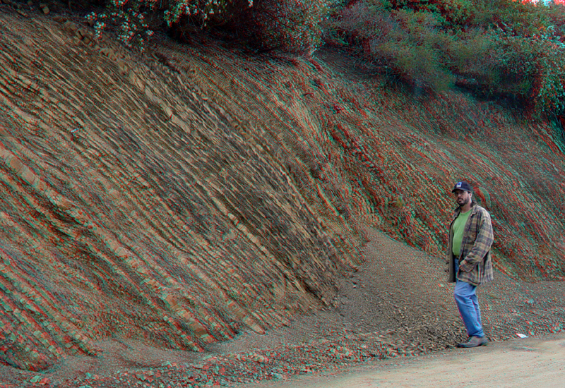
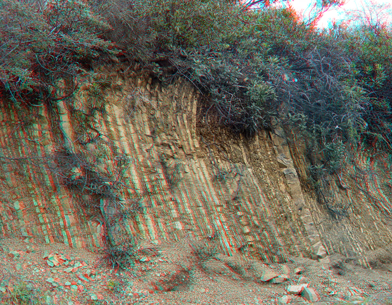
Turbidites (alternating beds of shale, mudstone, and sandstone representing deep submarine fan turbidity-flow deposits of Mesozoic age) are exposed in road cuts near the intersection of Summit-Mt. Madonna Road and the access road to Loma Prieta Peak.
Steeply dipping dipping turbidites along Summit-Mt. Madonna Road.
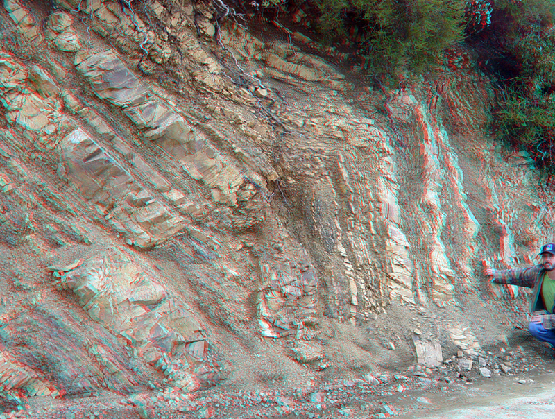
A complex anticlinal fold in turbidites along Summit-Mt. Madonna Road near Loma Prieta Peak.
LomaPrieta5.jpg
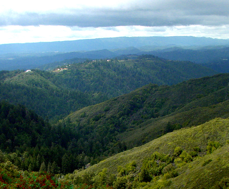
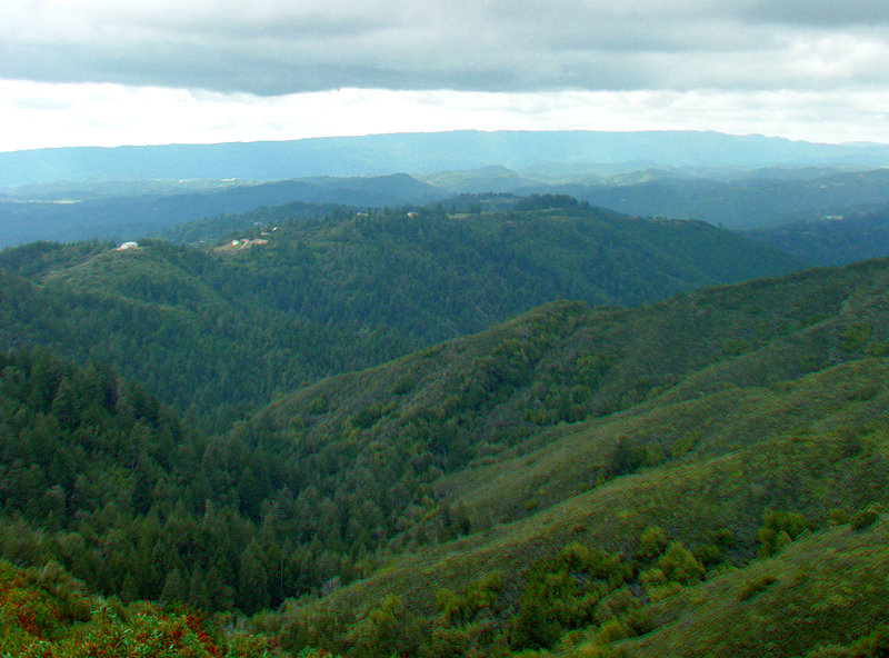
View looking south from the saddle along Summit Avenue into the rift valley of the San Andreas Fault. The headwater area of Soquel Creek are in the foreground. A low divide in the valley separates the drainage area of Soquel Creek from the next drainage basin to the south, Aptos Creek. The Forest of Nisene Marks State Park extends throughout this region south from the rift valley for several miles to the eastern suburbs of greater Santa Cruz.
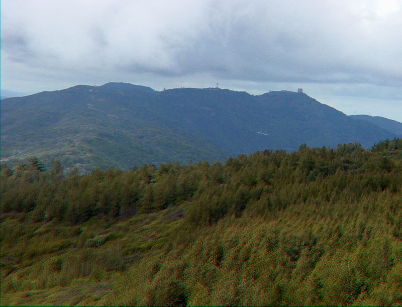
This view is looking north from an undeveloped overlook area near the intersection of dirt roads leading to the summit of Loma Prieta and another fire-access road that follows the crest of Sierra Azul Ridge between Loma Prieta and Mt. Umunhum (shown here in the distance). At this time neither of these dirt roads are open to the public.
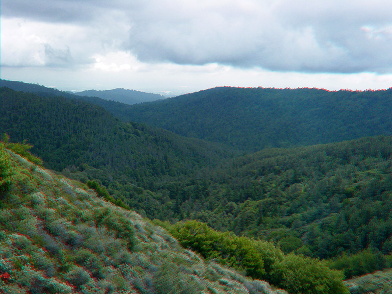
This view from the same undeveloped overlook area is looking northwest into the valley of upper Los Gatos Creek (upstream from Lake Elsman [reservoir]). Homes can be seen along Summit Road on the ridge on the opposite side of the valley. The long, high ridge on the horizon is Ben Lomond Mountain.
This is same view but in different light. The trace of the Sargent Fault is revealed by a tree-covered, east-facing slope of small ridge running diagonally across the hillslope (in the center of this image). Upper Los Gatos Creek valley basically defines the San Andreas Rift Zone between Lexington Reservoir and where the fault crosses Summit Ridge (just to the left of this view).