LimeKiln.jpg
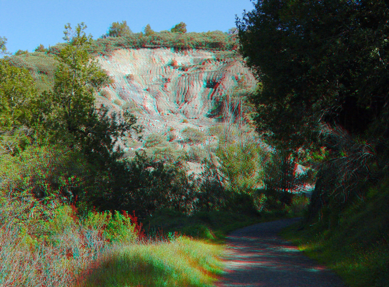
The Limekiln Trail begins at a trailhead along Alma
Bridge Road in Lexington Park. This massive landslide in weathered
serpentinite crosses the path of the Lime Kiln Trail about a quarter mile
from the trailhead parking area near Lexington Reservoir.
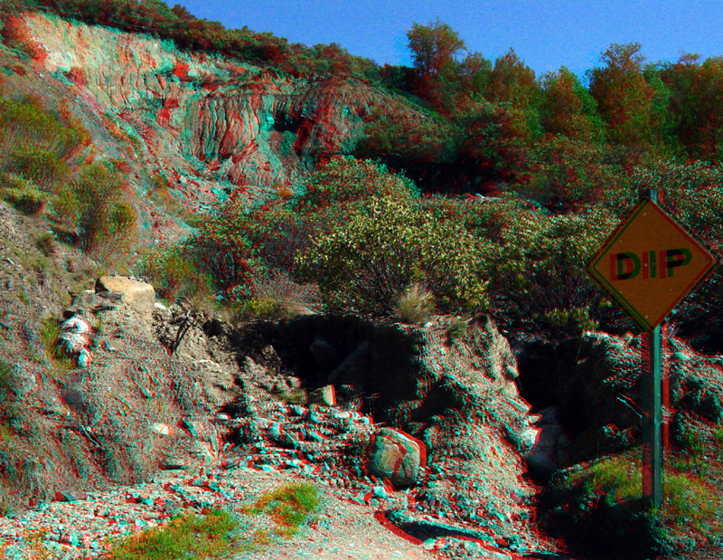
This landslide is quite active, resulting in trail closure during the winter months most years due to safety concerns. The "dip" sign marks the edge of the slide where it crosses the trail. Large blocks of serpentinite bedrock and soil (complete with live manzanita trees) are gradually migrating down slope from the slump escarpment area above.
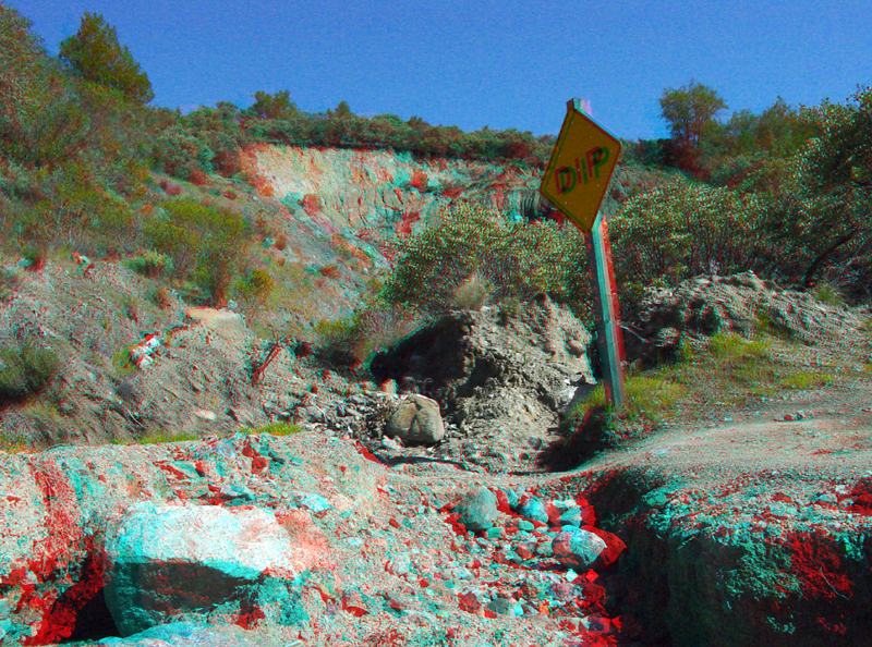
The slump is gradually migrating downhill relative to the stationary trail path that lies next to the slide. Slump movement measurable in meters per year have occurred during recent wet winters. Slump movement can create unstable condition that may be hazardous to people crossing the slide area. Slump motion general stalls when the slump eventually dries out in the late spring.