HighlandWay.jpg
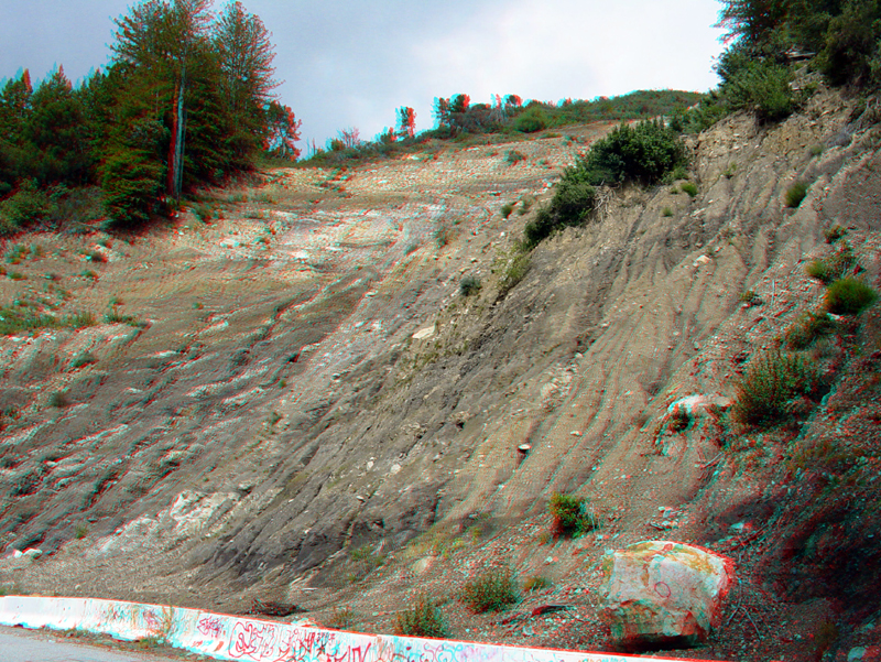
Highland Way is a road along the southeast flank of Loma Prieta that descends into the rift valley of the San Andreas Fault in the vicinity of the Forest of Nisene Marks. The steep mountainsides of the rift valley are prone to massive landslides, such as this massive slide area in the headwater area of Soquel Creek.
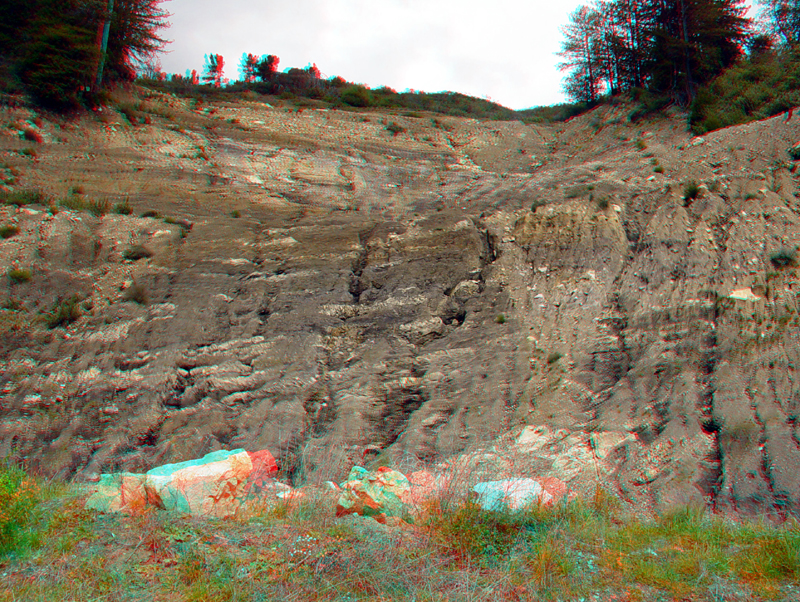
Another view of the massive landslide area along Highland Way (after roadway repairs in the late 1990s). The slope consists of a thick sequence of early Tertiary shale and mudstone with intermittent white sandstone lenses. Landslides in the Santa Cruz Mountains typically occur during heavy and extended rainy periods during winter months, and have had catastrophic results.
View looking south from the landslide into the valley of Soquel Creek and the Soquel State Demonstration Forest; the ridge in the distance is part of Forest of Nisene Marks State Park.
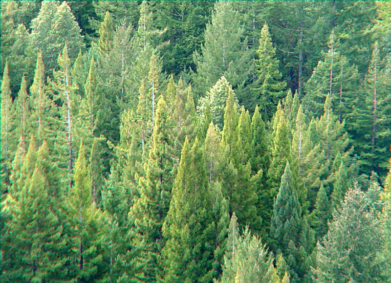
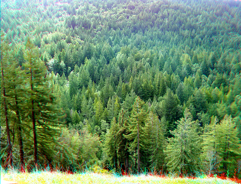
Treetops in part of the Soquel State Demonstration Forest.