Grant.jpg
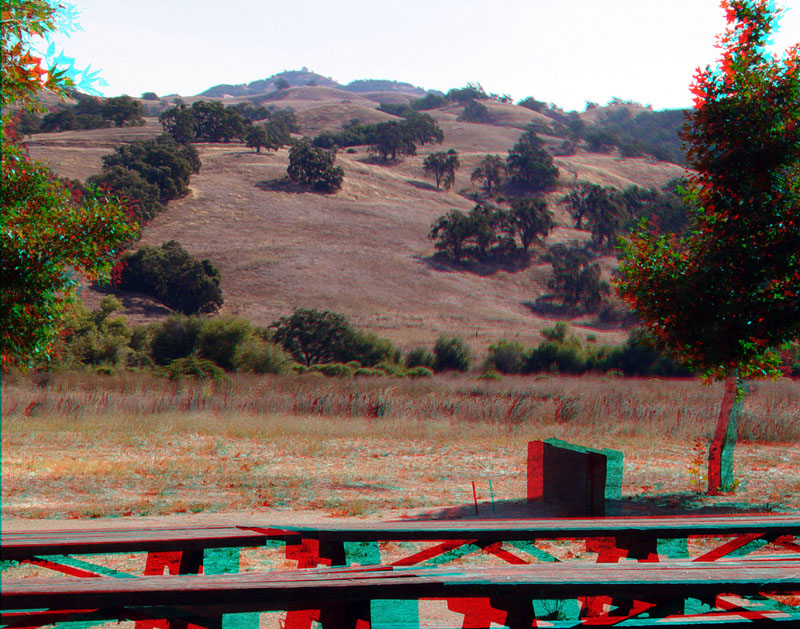
The Stockman's picnic area in Joseph D. Grant County Park. This view looking east across the valley along the Calaveras Fault. A line of trees at the base in the distance slope marks the headwater stream of San Felipe Creek which basically follows the trace of the fault from here southward. Beyond the slopes rise to the high peak of Mt. Hamilton, home of the Lick Observatory.
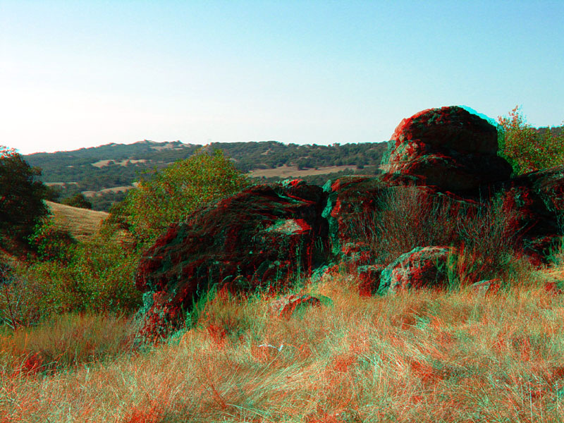
Outcrops of dense metagraywacke (metamorphosed sandstone) are a fairly common occurrence on the upland hillsides east of the Calaveras Fault in Joseph D. Grant Park.
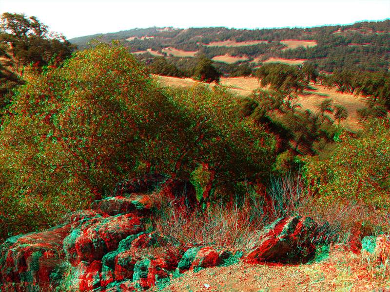
Looking west into the valley along the Calaveras Fault in Joseph D. Grant Park from some outcrops along the Mt. Hamilton Road.