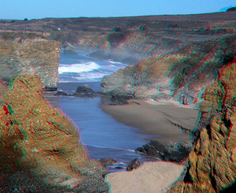
GazosCreek1.jpg
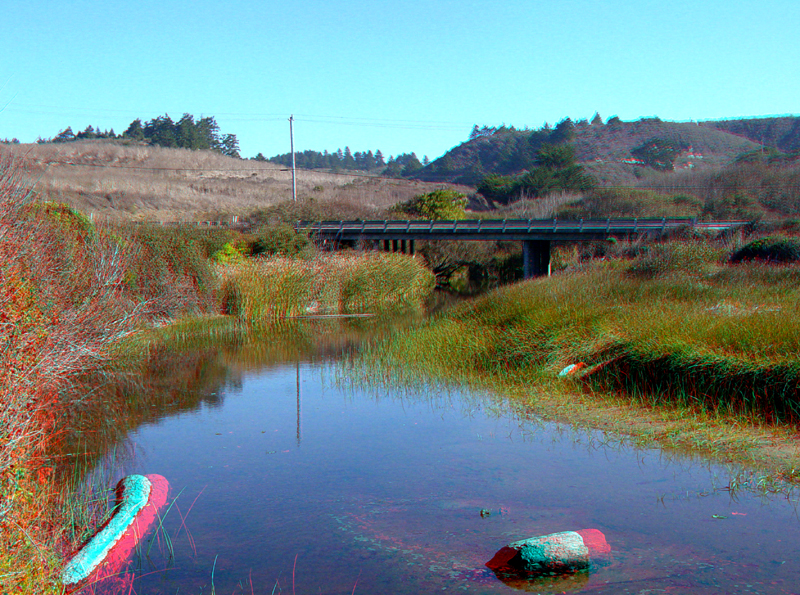
This section of the Gazos Creek near the beach experiences daily tidal flow and occasional floods. A Highway 1 bridge is in the distance.
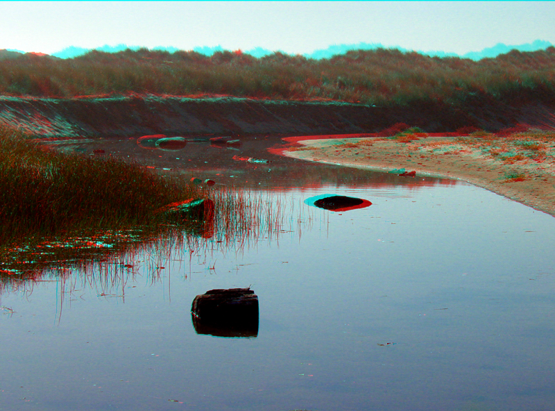
Driftwood from storms lie in Gazos Creek near the beach.
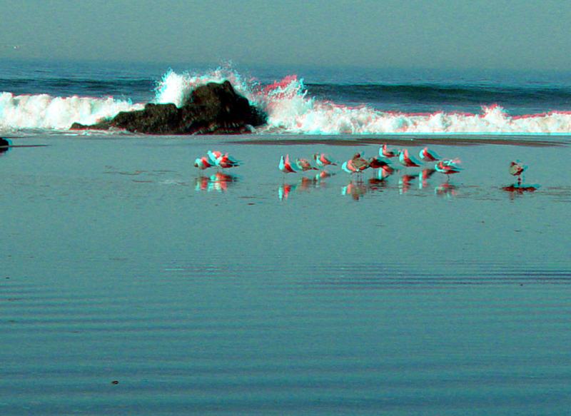
Gulls relax in a shallow tide pool where Gazos Creek enters the ocean.
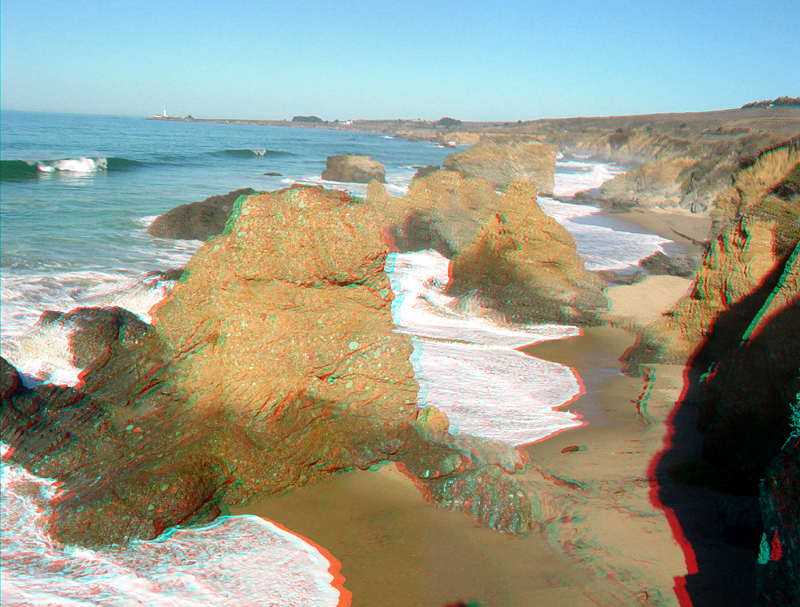
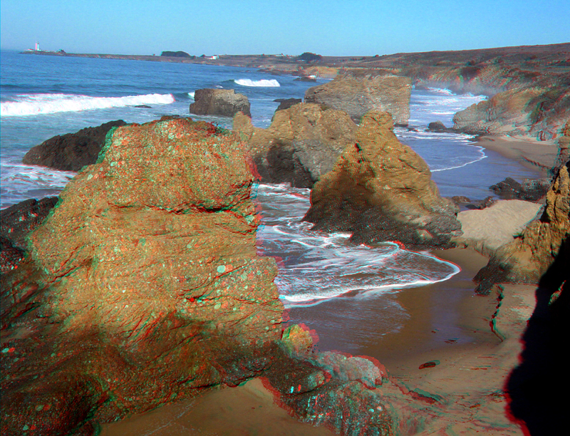
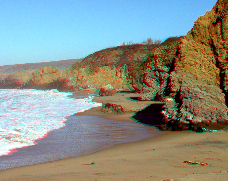
The coast north of Gazos Creek has sea stack consisting of conglomerate of the Pigeon Point Formation (Cretaceous). Pigeon Point is in the distance, to the north.
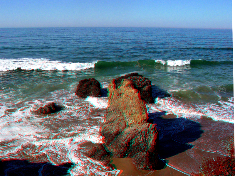
GazosCreek5.jpg
Sea stacks and eroding conglomerate cliffs north of Gazos Creek.
Massive sea stacks and the coast north of Gazos Creek.
The Pacific Ocean from the sea cliff north of Gazos Creek.
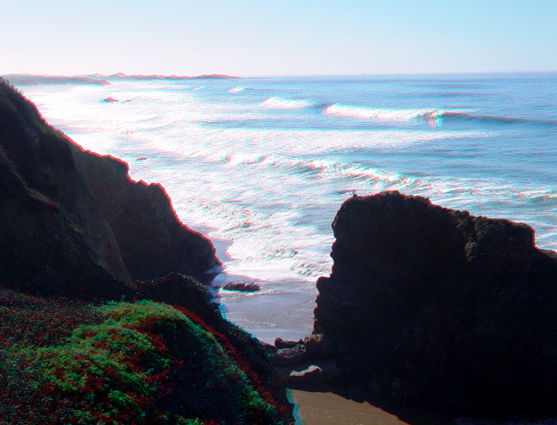
Looking south from the sea cliff north of Gazos Creek.
Sea cliffs just north Gazos Creek are deep water mudstone and shale (possibly of early Tertiary age). The massive conglomerate (Pigeon Point Formation) is exposed in the sea cliffs and sea stack farther north along the beach.