Davenport.jpg
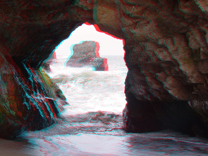
A sea cave on a small beach just south of Davenport along the Santa Cruz County coastline.
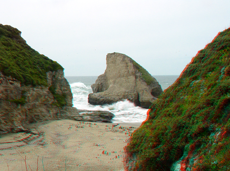
Waves crash around a sea stack just offshore from the same beach. The gray cliffs are of Santa Cruz Mudstone (Upper Miocene).
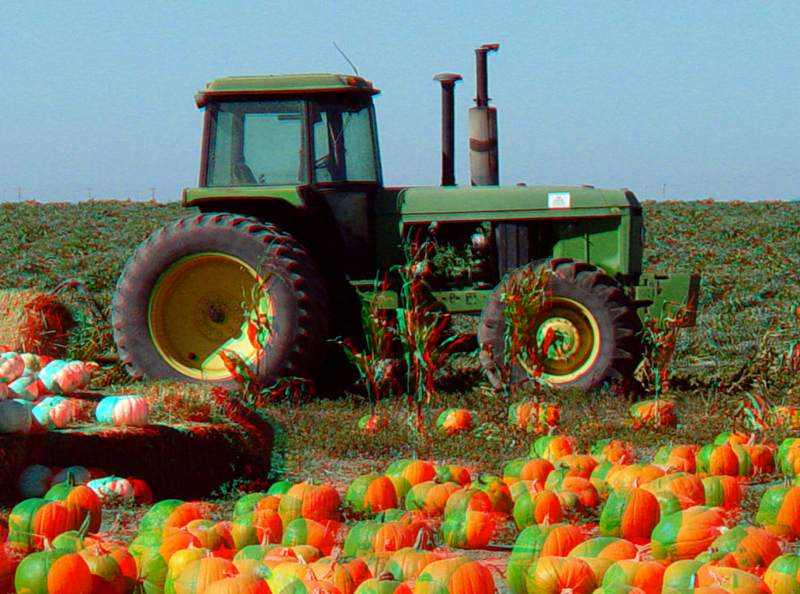
October is pumpkin-harvest time along the Peninsula coast. Brussel sprouts and artichokes are also important crops in the area.
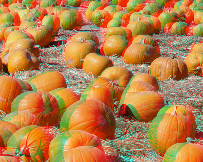
Davenport pumpkins.
Davenport5.jpg
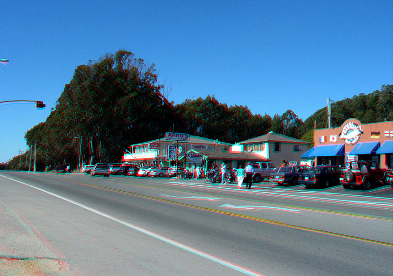
Highway 1 in Davenport, October, 2003. The store fronts face west.
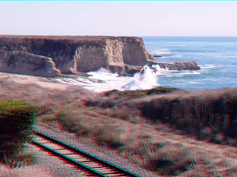
Looking south across the seaside rails towards the sea cliffs just south of downtown Davenport.
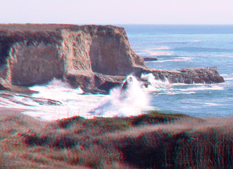
Crashing waves on a sea stack.
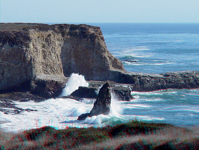
Another view of the sea cliffs just south of downtown Davenport.
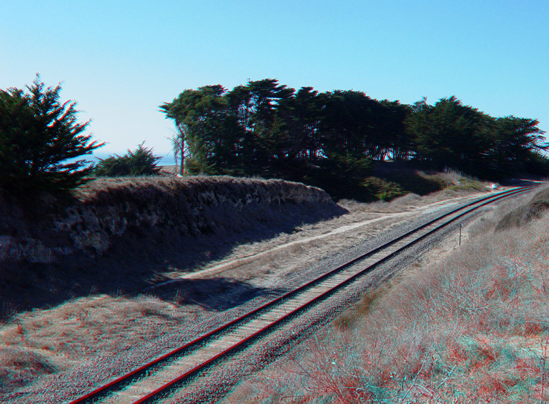
Looking north along rail lines, just across Highway 1 from downtown Davenport.
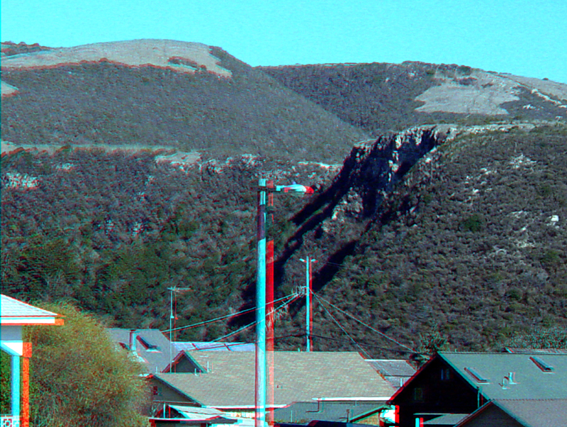
The massive, elevated marine terraces east of Davenport provide geologic evidence that this section of the coast is rising.
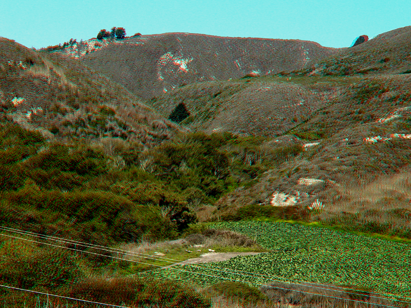
Bonnie Doon Canyon cuts through elevated marine terraces. Bonnie Doon Canyon (and Beach) are about a mile south of downtown Davenport along Highway 1.