CrystalSprings.jpg
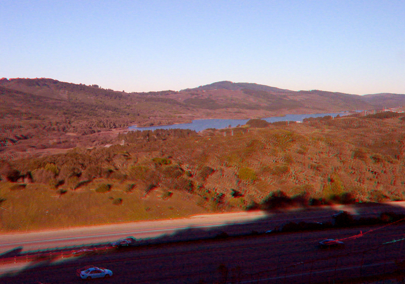
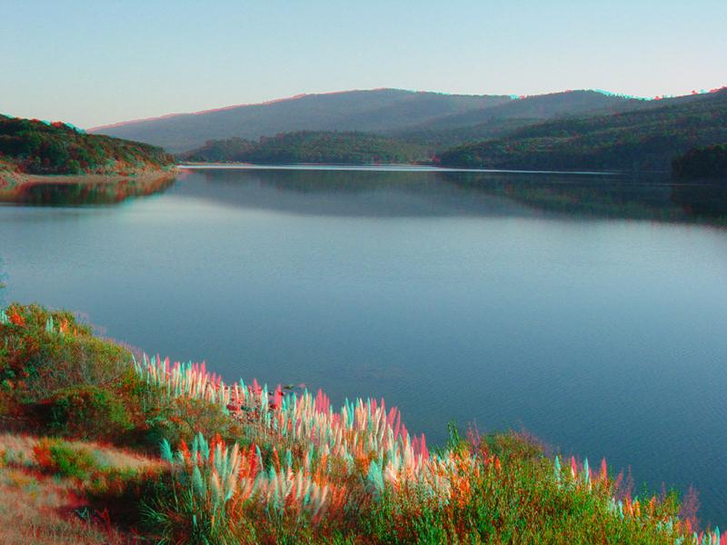
Crystal Springs Reservoir from an overlook along Highway 280, north of Woodside in San Mateo County. The reservoir fills a portion of the rift valley of the San Andreas Fault.
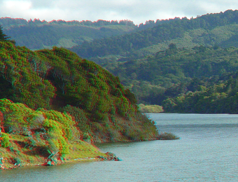
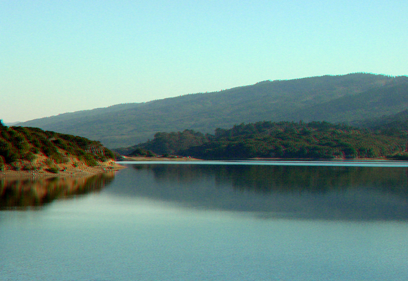
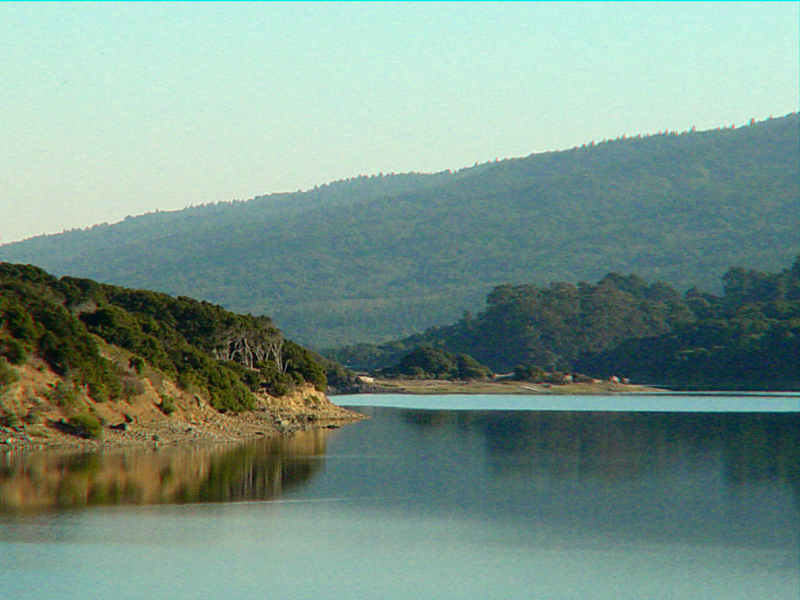
The shoreline along Crystal Springs Reservoir just south of reservoir dam, looking south.
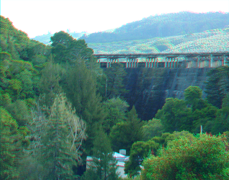
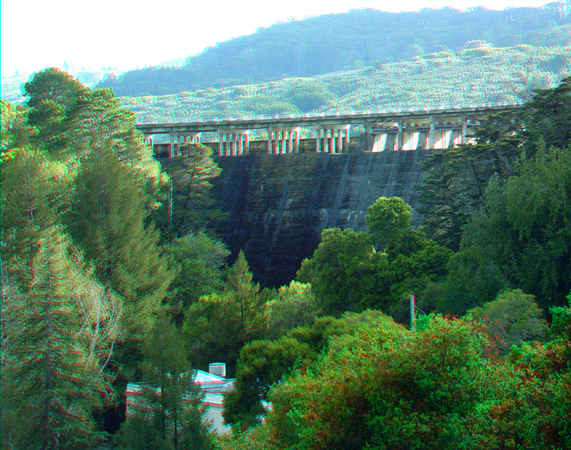
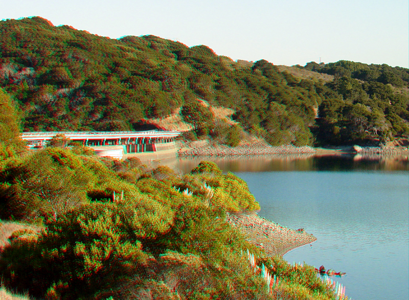
Crystal Springs Dam is on San Mateo Creek below the junction of its main branches. The dam was built in 1888, raised a few feet in 1891, and again in 1911, to its present height of 154 feet. It is 176 feet wide at the base and 600 feet long at the crest. Although the fault line of the San Andreas Rift is only 400 feet west of the site, the dam showed no damage from the 1906 earthquake or the 1989, ~6.9 Loma Prieta earthquake.
Crystal Springs Dam
CrystalSprings5.jpg
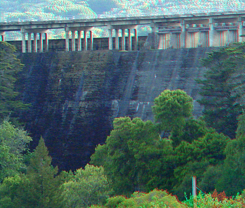
Crystal Springs Dam
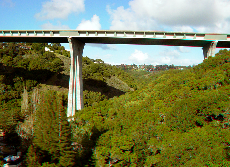
Interstate 280 crosses the gorge of San Mateo Creek downstream from Crystal Springs Dam
Crystal Springs Reservoir from a point along the Sawyer Camp Trail. The San Andreas Fault basically follows the east side of the reservoir, along the left side of this image.
Crystal Springs Reservoir from the Sawyer Camp Trail
The Highway 84 causeway across Crystal Springs Reservoir
A south-facing view of the dam and reservoir from the Sawyer Camp Trail