CoyoteLake.jpg
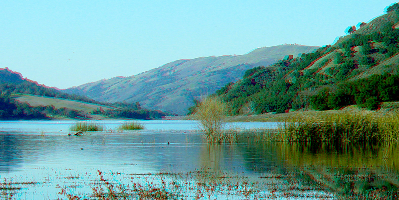
Coyote Lake is in the rift valley of the Calaveras Fault (east of Gilroy). This view is looking north from the shallow end of the lake toward the more chasm-like canyon of Coyote Creek beyond the reservoir dam. In the distant right is a part of Henry Coe State Park.
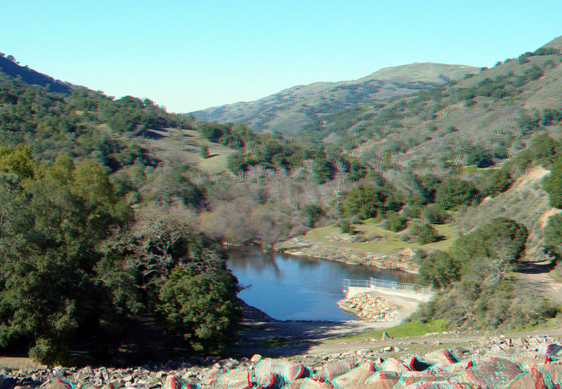
This view is looking down (north) the back side of Coyote Reservoir Dam to a pond area below the spillway. The Calaveras fault is visible as a line dividing evergreen forest from barren deciduous trees on the hillside in the left background.
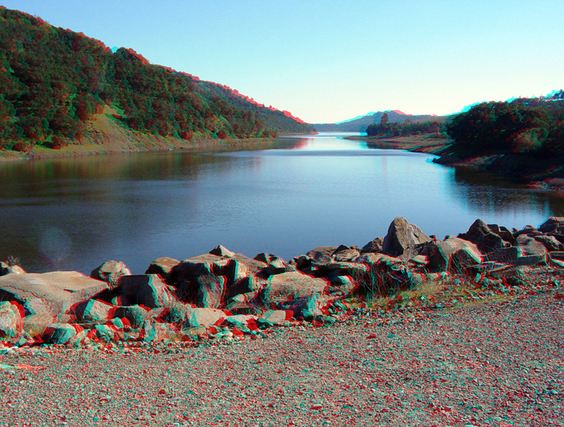
Taken from the dam, this image looks south at the deep end of the reservoir. The Calaveras Fault basically runs along the eastern shoreline (right) of Coyote Lake.