CoyoteHills.jpg
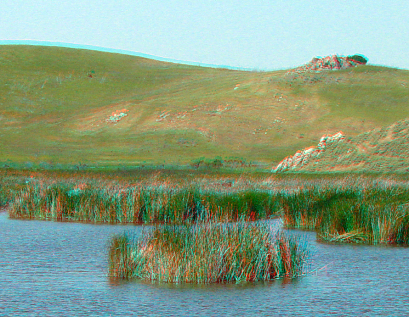
The Coyote Hills are a series of low hills that rise along the eastern margin of southern San Francisco Bay near Fremont, California. Rising sea level since the end of the last Ice Age about 15,000 years ago formed San Francisco Bay. Sea level rise and subsidence from dewatering of sediments around and beneath the Bay cause flooding of lowland areas, creating natural wetland areas. These low areas have been heavily modified by human activity. Outcrops on the hillsides around the park are mostly Jurassic-age ribbon chert and other rocks of the Franciscan Complex.
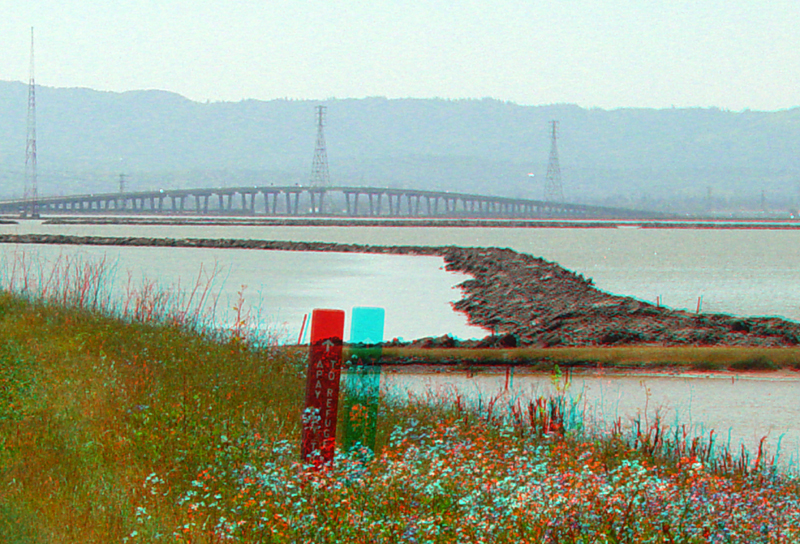
This view shows one of the rock groins constructed in the South Bay as part of a massive salt evaporation pond system. The span of the Dumbarton Bridge and the Santa Cruz Mountains are in the distance.
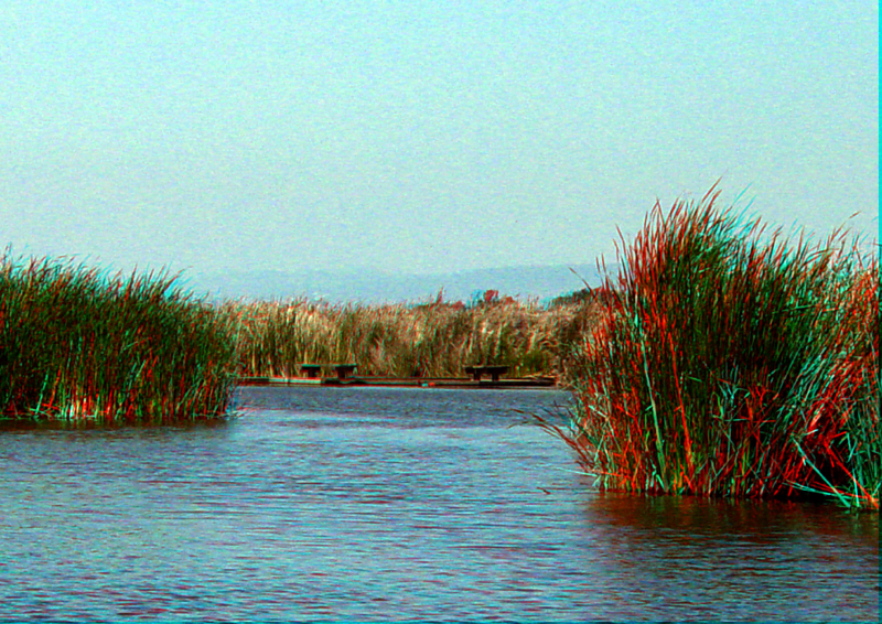
Zoom view of wetlands habitat at the Coyote Hills preserve.